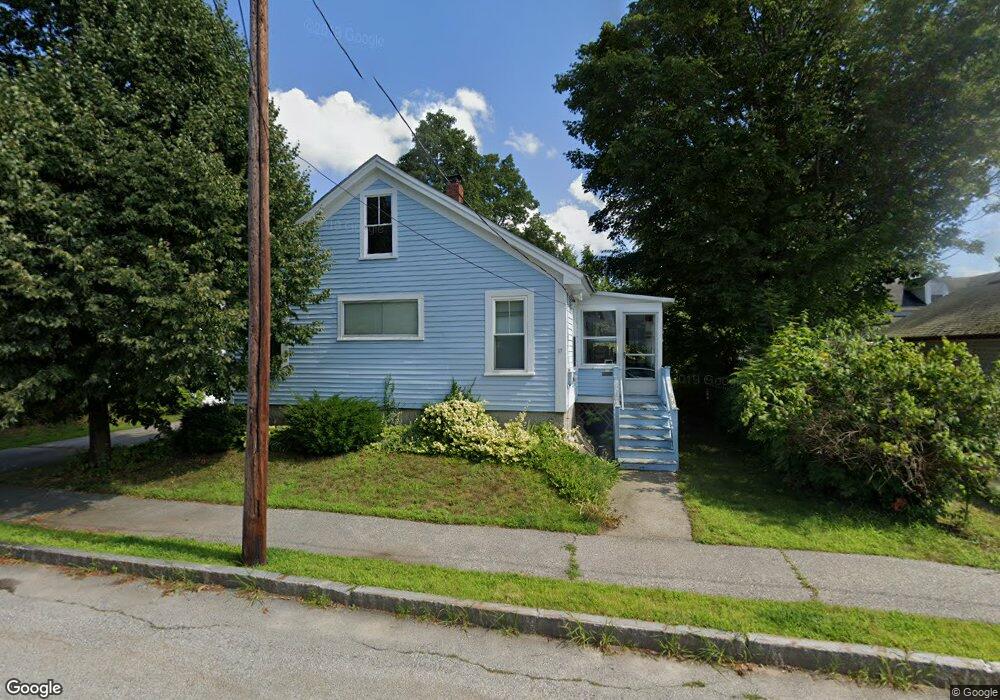
17 Monroe St Concord, NH 03301
South End NeighborhoodEstimated Value: $377,125 - $437,000
2
Beds
1
Bath
1,118
Sq Ft
$361/Sq Ft
Est. Value
About This Home
This home is located at 17 Monroe St, Concord, NH 03301 and is currently estimated at $403,531, approximately $360 per square foot. 17 Monroe St is a home located in Merrimack County with nearby schools including Christa McAuliffe School, Rundlett Middle School, and Concord High School.
Ownership History
Date
Name
Owned For
Owner Type
Purchase Details
Closed on
Mar 19, 2023
Sold by
King Benjamin T
Bought by
Benjamin T King Ret
Current Estimated Value
Purchase Details
Closed on
Dec 31, 2009
Sold by
Roedell Samuel T
Bought by
King Benjamin T
Home Financials for this Owner
Home Financials are based on the most recent Mortgage that was taken out on this home.
Original Mortgage
$155,677
Interest Rate
4.85%
Mortgage Type
Purchase Money Mortgage
Create a Home Valuation Report for This Property
The Home Valuation Report is an in-depth analysis detailing your home's value as well as a comparison with similar homes in the area
Home Values in the Area
Average Home Value in this Area
Purchase History
| Date | Buyer | Sale Price | Title Company |
|---|---|---|---|
| Benjamin T King Ret | -- | None Available | |
| King Benjamin T | $180,000 | -- |
Source: Public Records
Mortgage History
| Date | Status | Borrower | Loan Amount |
|---|---|---|---|
| Previous Owner | King Benjamin T | $155,677 |
Source: Public Records
Tax History Compared to Growth
Tax History
| Year | Tax Paid | Tax Assessment Tax Assessment Total Assessment is a certain percentage of the fair market value that is determined by local assessors to be the total taxable value of land and additions on the property. | Land | Improvement |
|---|---|---|---|---|
| 2024 | $6,189 | $223,500 | $89,600 | $133,900 |
| 2023 | $6,003 | $223,500 | $89,600 | $133,900 |
| 2022 | $5,786 | $223,500 | $89,600 | $133,900 |
| 2021 | $5,549 | $220,900 | $89,600 | $131,300 |
| 2020 | $4,975 | $185,900 | $71,500 | $114,400 |
| 2019 | $4,553 | $163,900 | $66,400 | $97,500 |
| 2018 | $5,158 | $160,200 | $66,400 | $93,800 |
| 2017 | $4,329 | $153,300 | $66,400 | $86,900 |
| 2016 | $4,139 | $149,600 | $66,400 | $83,200 |
| 2015 | $3,882 | $143,100 | $65,100 | $78,000 |
| 2014 | $3,837 | $143,100 | $65,100 | $78,000 |
| 2013 | -- | $142,200 | $65,100 | $77,100 |
| 2012 | -- | $141,600 | $65,100 | $76,500 |
Source: Public Records
Map
Nearby Homes
- 14-16 Perley St
- 10 Perley St
- 47 South St
- 24 Pierce St
- 14 Downing St
- 87 S Main St Unit 2
- 4 Fayette St
- 54 Pleasant St Unit 8
- 0 Spruce St Unit 88
- 33 Spruce St
- 12 Avon St
- 122 South St
- 105 S Main St
- 17 Essex St
- 0 South St Unit 4969509
- 30 Jackson St
- 2 Kensington Rd
- 1 Kensington Rd
- 22 Wilson Ave
- 15 Wilson Ave
- 13 Monroe St
- 19 Monroe St
- 20 Monroe St
- 35 Grove St
- 24 Thorndike St Unit 26
- 11 Monroe St
- 16 Monroe St Unit 18
- 16-18 Monroe St
- 14 Monroe St Unit 14
- 22 Monroe St
- 22 Thorndike St
- 22 Thorndike St Unit 1
- 24-26 Thorndike St
- 12 Monroe St Unit B
- 12 Monroe St Unit 14
- 12 Monroe St Unit A
- 28 Thorndike St
- 20 Thorndike St
- 24 Monroe St
- 21 Monroe St