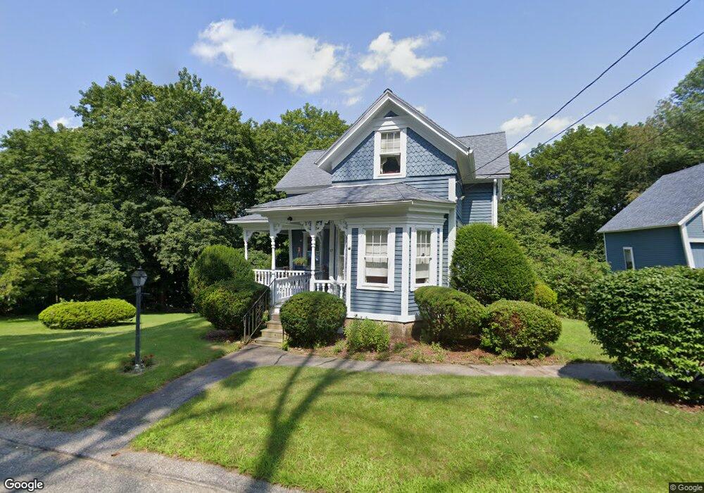
17 Mumford Rd Sutton, MA 01590
Estimated Value: $413,356 - $504,000
5
Beds
2
Baths
1,219
Sq Ft
$365/Sq Ft
Est. Value
About This Home
This home is located at 17 Mumford Rd, Sutton, MA 01590 and is currently estimated at $445,089, approximately $365 per square foot. 17 Mumford Rd is a home located in Worcester County with nearby schools including Sutton Elementary School, Sutton Middle School, and Sutton High School.
Create a Home Valuation Report for This Property
The Home Valuation Report is an in-depth analysis detailing your home's value as well as a comparison with similar homes in the area
Home Values in the Area
Average Home Value in this Area
Tax History
| Year | Tax Paid | Tax Assessment Tax Assessment Total Assessment is a certain percentage of the fair market value that is determined by local assessors to be the total taxable value of land and additions on the property. | Land | Improvement |
|---|---|---|---|---|
| 2025 | $5,107 | $384,000 | $152,000 | $232,000 |
| 2024 | $5,061 | $366,200 | $145,600 | $220,600 |
| 2023 | $4,991 | $331,200 | $131,600 | $199,600 |
| 2022 | $4,537 | $274,000 | $105,300 | $168,700 |
| 2021 | $3,882 | $248,700 | $105,300 | $143,400 |
| 2020 | $5,941 | $240,200 | $105,300 | $134,900 |
| 2019 | $3,971 | $225,000 | $105,300 | $119,700 |
| 2018 | $3,585 | $202,100 | $89,500 | $112,600 |
| 2017 | $3,449 | $194,100 | $78,700 | $115,400 |
| 2016 | $3,480 | $194,100 | $78,700 | $115,400 |
| 2015 | $3,385 | $188,500 | $78,700 | $109,800 |
| 2014 | $3,367 | $185,000 | $77,600 | $107,400 |
Source: Public Records
Map
Nearby Homes
- 108 Mumford St
- 4 1st St
- 19 Birch St
- 36 Compass Point Dr Unit 36
- 33 Nautical Way Unit 107
- 26 Compass Point Dr Unit 26
- 8 Hough Rd
- 22 Gilboa St
- 266 Putnam Hill Rd
- 5 B St
- 80 Barnett Rd
- 8 Wallis St
- 408 NE Main St
- 2 White Ct
- 18 Lakeshore Dr
- 3 S East Main St
- 198 Uxbridge Rd
- Lot 27 Cedar St
- 24 Manchaug Rd
- 28 Johnson Rd
Your Personal Tour Guide
Ask me questions while you tour the home.