17 Newcomb Rd Westminster, MA 01473
Estimated Value: $355,000 - $395,000
2
Beds
1
Bath
818
Sq Ft
$455/Sq Ft
Est. Value
About This Home
This home is located at 17 Newcomb Rd, Westminster, MA 01473 and is currently estimated at $372,371, approximately $455 per square foot. 17 Newcomb Rd is a home located in Worcester County with nearby schools including Oakmont Regional High School.
Ownership History
Date
Name
Owned For
Owner Type
Purchase Details
Closed on
Sep 27, 2002
Sold by
Ingall Jonathan M and Desreuisseau April M
Bought by
Wheeler Suzanne
Current Estimated Value
Purchase Details
Closed on
Apr 30, 1999
Sold by
Howard David
Bought by
Desreuisseau April M and Ingalll Jonathan M
Purchase Details
Closed on
Jan 30, 1998
Sold by
Gerken Kenneth G and Gerken Jinny K
Bought by
Howard David
Purchase Details
Closed on
Oct 27, 1995
Sold by
Boucher Lionel Est
Bought by
Gerken Kenneth G and Gerken Jinny
Create a Home Valuation Report for This Property
The Home Valuation Report is an in-depth analysis detailing your home's value as well as a comparison with similar homes in the area
Home Values in the Area
Average Home Value in this Area
Purchase History
| Date | Buyer | Sale Price | Title Company |
|---|---|---|---|
| Wheeler Suzanne | $154,000 | -- | |
| Desreuisseau April M | $105,000 | -- | |
| Howard David | $87,500 | -- | |
| Gerken Kenneth G | $71,500 | -- |
Source: Public Records
Mortgage History
| Date | Status | Borrower | Loan Amount |
|---|---|---|---|
| Open | Gerken Kenneth G | $25,000 | |
| Open | Gerken Kenneth G | $131,000 |
Source: Public Records
Tax History Compared to Growth
Tax History
| Year | Tax Paid | Tax Assessment Tax Assessment Total Assessment is a certain percentage of the fair market value that is determined by local assessors to be the total taxable value of land and additions on the property. | Land | Improvement |
|---|---|---|---|---|
| 2025 | $3,335 | $271,100 | $112,700 | $158,400 |
| 2024 | $3,256 | $265,600 | $112,700 | $152,900 |
| 2023 | $3,325 | $254,600 | $105,300 | $149,300 |
| 2022 | $3,285 | $207,900 | $91,600 | $116,300 |
| 2021 | $3,132 | $186,900 | $76,000 | $110,900 |
| 2020 | $3,043 | $173,400 | $69,100 | $104,300 |
| 2019 | $2,946 | $161,400 | $57,100 | $104,300 |
| 2018 | $2,770 | $149,300 | $57,100 | $92,200 |
| 2017 | $2,716 | $149,300 | $57,100 | $92,200 |
| 2016 | $2,625 | $139,800 | $47,600 | $92,200 |
| 2015 | $2,613 | $137,900 | $47,600 | $90,300 |
| 2014 | $2,617 | $137,900 | $47,600 | $90,300 |
Source: Public Records
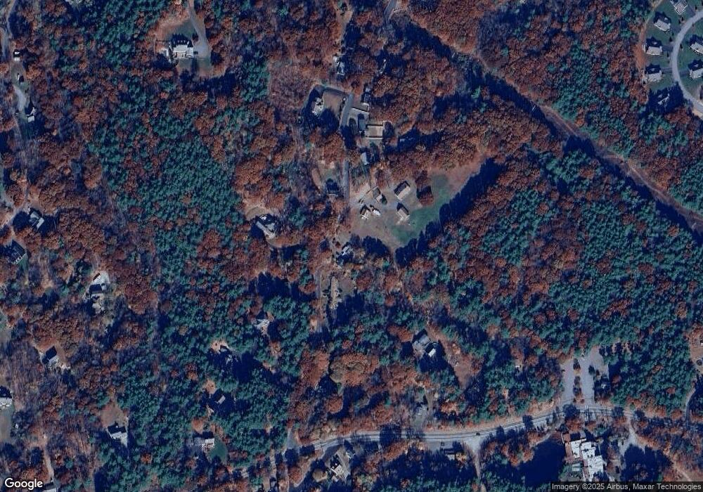
Map
Nearby Homes
- 19 Battles Rd
- 2 Old Town Farm Rd
- 53 Turnpike Rd
- 5 Linda Dr Unit The Connor
- 0 Worcester Rd Unit 73326124
- 36 Leominster St
- 45 Bacon St
- 0 Syd Smith Rd Unit 73395578
- 0 Syd Smith Rd (Rear)
- 11 Syd Smith Rd
- 17 Leominster St
- 90 Turnpike Rd
- 65 N Common Rd
- 169 Narrows Rd
- 18 W Hill Dr Unit A
- 4 Tandem Dr
- 4 Tandem Dr Unit B
- 72 Carter Rd
- 240-Lot 2 Davis Rd
- 3 Woods Rd