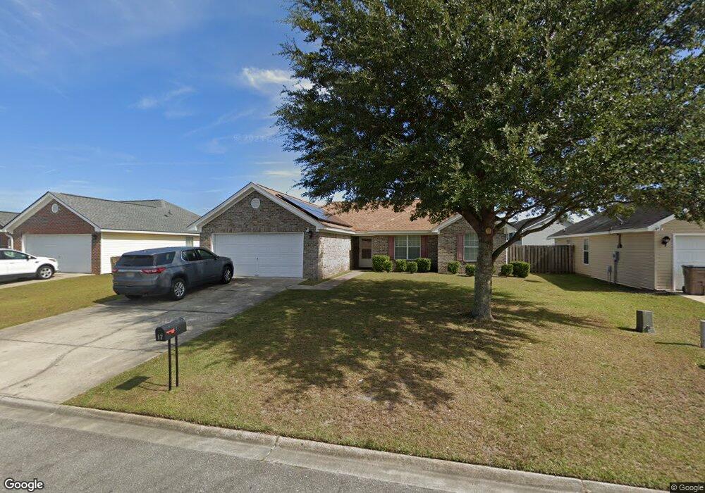
17 Newport Blvd Savannah, GA 31407
Estimated Value: $253,000 - $266,000
3
Beds
2
Baths
1,236
Sq Ft
$210/Sq Ft
Est. Value
About This Home
This home is located at 17 Newport Blvd, Savannah, GA 31407 and is currently estimated at $259,718, approximately $210 per square foot. 17 Newport Blvd is a home located in Chatham County with nearby schools including Rice Creek K-8 School and Groves High School.
Ownership History
Date
Name
Owned For
Owner Type
Purchase Details
Closed on
Oct 1, 2008
Sold by
Not Provided
Bought by
Kitchen Kamilah M
Current Estimated Value
Home Financials for this Owner
Home Financials are based on the most recent Mortgage that was taken out on this home.
Original Mortgage
$128,418
Outstanding Balance
$85,025
Interest Rate
6.34%
Mortgage Type
New Conventional
Estimated Equity
$174,693
Create a Home Valuation Report for This Property
The Home Valuation Report is an in-depth analysis detailing your home's value as well as a comparison with similar homes in the area
Home Values in the Area
Average Home Value in this Area
Purchase History
| Date | Buyer | Sale Price | Title Company |
|---|---|---|---|
| Kitchen Kamilah M | $125,900 | -- |
Source: Public Records
Mortgage History
| Date | Status | Borrower | Loan Amount |
|---|---|---|---|
| Open | Kitchen Kamilah M | $128,418 |
Source: Public Records
Tax History Compared to Growth
Tax History
| Year | Tax Paid | Tax Assessment Tax Assessment Total Assessment is a certain percentage of the fair market value that is determined by local assessors to be the total taxable value of land and additions on the property. | Land | Improvement |
|---|---|---|---|---|
| 2025 | $2,012 | $94,680 | $20,000 | $74,680 |
| 2024 | $2,012 | $84,760 | $18,000 | $66,760 |
| 2023 | $1,260 | $78,480 | $18,000 | $60,480 |
| 2022 | $1,617 | $62,520 | $8,000 | $54,520 |
| 2021 | $1,610 | $55,000 | $8,000 | $47,000 |
| 2020 | $1,462 | $53,640 | $8,000 | $45,640 |
| 2019 | $1,462 | $47,360 | $8,000 | $39,360 |
| 2018 | $1,428 | $45,840 | $8,000 | $37,840 |
| 2017 | $1,340 | $46,160 | $8,000 | $38,160 |
| 2016 | $1,128 | $39,680 | $8,000 | $31,680 |
| 2015 | $1,143 | $40,080 | $8,000 | $32,080 |
| 2014 | $1,657 | $39,760 | $0 | $0 |
Source: Public Records
Map
Nearby Homes
- 15 Newport Blvd
- 26 Halyard Dr
- 19 Halyard Dr
- 10 Binnacle Ln
- 56 Bearing Cir
- 58 Bearing Cir Unit B
- 21 Hawser Way
- 24 Transom Rd
- 32 Transom Rd
- 11 Cordage Cir
- 7 Corsair Cir
- 33 Gimbal Cir
- 150 Berrien Rd
- Lot 6 Raley Rd
- Lot 5 Raley Rd
- 16 Lanvale St
- 217 Monteith Rd
- 629 & 631 Meinhard Rd
- 1 Braxton Manor Dr
- 135 Monteith Rd
- 19 Newport Blvd
- 53 Cordage Cir
- 21 Newport Blvd
- 0 Rostrum Ln Unit 8183192
- 0 Rostrum Ln
- 1 Rostrum Ln
- 59 Cordage Cir
- 51 Cordage Cir
- 58 Cordage Cir
- 3 Rostrum Ln
- 23 Newport Blvd
- 56 Cordage Cir
- 61 Cordage Cir
- 54 Cordage Cir
- 41 Bearing Cir
- 41 Bearing Cir
- 39 Bearing Cir
- 39 Bearing Cir
- 60 Cordage Cir
- 52 Cordage Cir