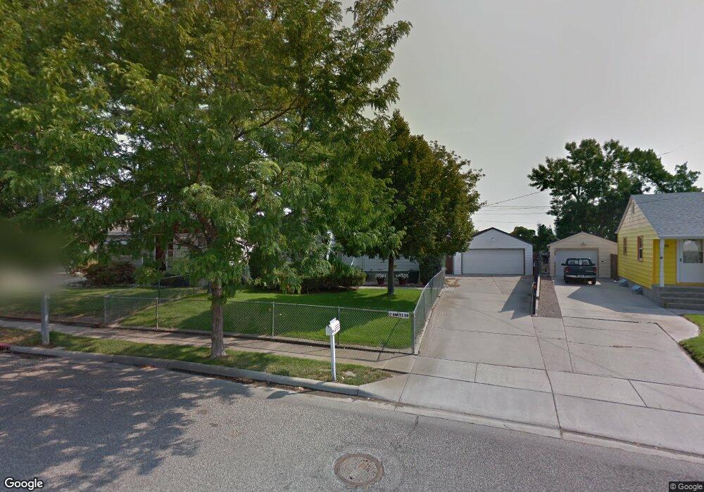
17 Nimitz Dr Billings, MT 59101
South Central Billings NeighborhoodEstimated Value: $307,000 - $325,882
3
Beds
3
Baths
2,354
Sq Ft
$134/Sq Ft
Est. Value
About This Home
This home is located at 17 Nimitz Dr, Billings, MT 59101 and is currently estimated at $314,721, approximately $133 per square foot. 17 Nimitz Dr is a home located in Yellowstone County with nearby schools including Newman School, Riverside Junior High School, and Billings West High School.
Ownership History
Date
Name
Owned For
Owner Type
Purchase Details
Closed on
Dec 30, 2020
Sold by
Laird Linda Lee
Bought by
Cady Brendon R and Cady Ashley J
Current Estimated Value
Home Financials for this Owner
Home Financials are based on the most recent Mortgage that was taken out on this home.
Original Mortgage
$176,739
Outstanding Balance
$157,712
Interest Rate
2.7%
Mortgage Type
FHA
Estimated Equity
$157,009
Purchase Details
Closed on
Aug 28, 2012
Sold by
Wuertz Joyce and The Estate Of Barbara Jean Sti
Bought by
Laird Linda Lee
Create a Home Valuation Report for This Property
The Home Valuation Report is an in-depth analysis detailing your home's value as well as a comparison with similar homes in the area
Home Values in the Area
Average Home Value in this Area
Purchase History
| Date | Buyer | Sale Price | Title Company |
|---|---|---|---|
| Cady Brendon R | -- | Stewart Title Company | |
| Laird Linda Lee | -- | None Available |
Source: Public Records
Mortgage History
| Date | Status | Borrower | Loan Amount |
|---|---|---|---|
| Open | Cady Brendon R | $176,739 |
Source: Public Records
Tax History
| Year | Tax Paid | Tax Assessment Tax Assessment Total Assessment is a certain percentage of the fair market value that is determined by local assessors to be the total taxable value of land and additions on the property. | Land | Improvement |
|---|---|---|---|---|
| 2025 | $2,717 | $328,900 | $42,278 | $286,622 |
| 2024 | $2,717 | $262,300 | $42,302 | $219,998 |
| 2023 | $2,728 | $262,300 | $42,302 | $219,998 |
| 2022 | $2,410 | $202,400 | $0 | $0 |
| 2021 | $2,293 | $202,400 | $0 | $0 |
| 2020 | $2,303 | $193,100 | $0 | $0 |
| 2019 | $2,205 | $193,100 | $0 | $0 |
| 2018 | $2,056 | $174,900 | $0 | $0 |
| 2017 | $1,619 | $174,900 | $0 | $0 |
| 2016 | $1,765 | $153,000 | $0 | $0 |
| 2015 | $1,728 | $153,000 | $0 | $0 |
| 2014 | $1,641 | $77,062 | $0 | $0 |
Source: Public Records
Map
Nearby Homes
- 336 Foster Ln
- 226 Moore Ln
- 1204 Eldorado Dr
- 4642 Mitchell Ave
- 307 S Billings Blvd Unit 24
- 307 S Billings Blvd Unit 36
- 43 Prickett Ln
- 4531 Phillip St
- 5327 Frontier Dr Unit 2
- 4413 Ryan Ave
- 4401 Murphy Ave
- 1245 Cook Ave
- 1315 Cook Ave
- 4429 Clevenger Ave
- 449 Orchard Ln
- 1120 Miles Ave
- 947 Howard Ave
- 820 Arlington Dr Unit 25
- 632 Saint Johns Ave Unit 8
- 117 Birchwood Dr
Your Personal Tour Guide
Ask me questions while you tour the home.