17 Oak Dr Belmont, NH 03220
Estimated Value: $309,000 - $339,831
2
Beds
2
Baths
1,278
Sq Ft
$257/Sq Ft
Est. Value
About This Home
This home is located at 17 Oak Dr, Belmont, NH 03220 and is currently estimated at $328,708, approximately $257 per square foot. 17 Oak Dr is a home located in Belknap County with nearby schools including Belmont Elementary School, Belmont Middle School, and Belmont High School.
Ownership History
Date
Name
Owned For
Owner Type
Purchase Details
Closed on
Oct 27, 2020
Sold by
Howland Kelly A
Bought by
Kelly A Howland 2020 T
Current Estimated Value
Home Financials for this Owner
Home Financials are based on the most recent Mortgage that was taken out on this home.
Original Mortgage
$104,000
Outstanding Balance
$92,293
Interest Rate
2.9%
Mortgage Type
New Conventional
Estimated Equity
$236,415
Purchase Details
Closed on
Sep 23, 2020
Sold by
Edward F Bird Ret
Bought by
Howland Kelly A and Freeman Winfield
Home Financials for this Owner
Home Financials are based on the most recent Mortgage that was taken out on this home.
Original Mortgage
$104,000
Outstanding Balance
$92,293
Interest Rate
2.9%
Mortgage Type
New Conventional
Estimated Equity
$236,415
Purchase Details
Closed on
Dec 15, 2014
Sold by
Edward F & G Bird Ret
Bought by
Bird Edward F
Create a Home Valuation Report for This Property
The Home Valuation Report is an in-depth analysis detailing your home's value as well as a comparison with similar homes in the area
Home Values in the Area
Average Home Value in this Area
Purchase History
| Date | Buyer | Sale Price | Title Company |
|---|---|---|---|
| Kelly A Howland 2020 T | -- | None Available | |
| Howland Kelly A | $130,000 | None Available | |
| Bird Edward F | -- | -- |
Source: Public Records
Mortgage History
| Date | Status | Borrower | Loan Amount |
|---|---|---|---|
| Open | Howland Kelly A | $104,000 |
Source: Public Records
Tax History Compared to Growth
Tax History
| Year | Tax Paid | Tax Assessment Tax Assessment Total Assessment is a certain percentage of the fair market value that is determined by local assessors to be the total taxable value of land and additions on the property. | Land | Improvement |
|---|---|---|---|---|
| 2024 | $4,791 | $304,400 | $0 | $304,400 |
| 2023 | $5,141 | $294,300 | $0 | $294,300 |
| 2022 | $4,432 | $231,900 | $0 | $231,900 |
| 2021 | $3,672 | $137,700 | $0 | $137,700 |
| 2020 | $3,489 | $137,700 | $0 | $137,700 |
| 2019 | $3,444 | $137,700 | $0 | $137,700 |
| 2017 | $3,500 | $118,800 | $0 | $118,800 |
| 2016 | $3,425 | $118,800 | $0 | $118,800 |
| 2015 | $3,358 | $118,800 | $0 | $118,800 |
| 2014 | $3,285 | $118,800 | $0 | $118,800 |
| 2013 | $3,252 | $144,900 | $0 | $144,900 |
Source: Public Records
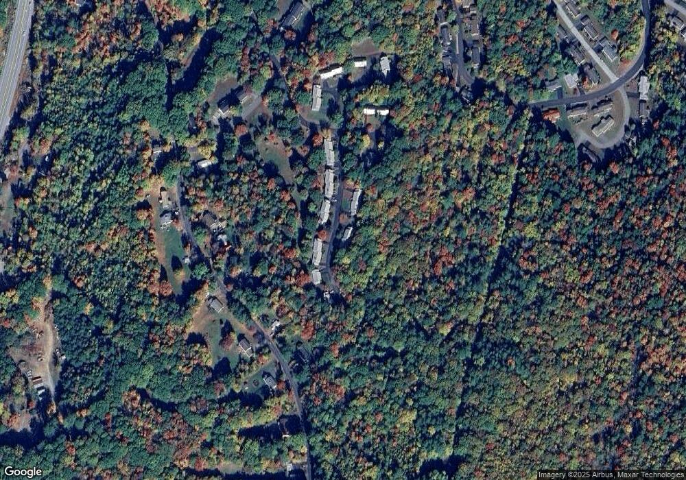
Map
Nearby Homes
- 78 Granite Ridge Dr
- 24 Granite Ridge Dr
- 17 Granite Ridge Dr
- 82 Plummer Hill Rd
- 328 Darby Dr
- 314 Darby Dr
- 120 Logan Dr
- 134 Leavitt Rd
- 248 Wellington Dr
- 100 Old Prescott Hill Rd
- 109 Old Prescott Hill Rd
- 92 Old Prescott Hill Rd
- 273 Leavitt Rd
- 20 Old Prescott Hill Rd
- 5 Tee Dee Dr
- 11 Valley Dr
- 41 Durrell Mountain Rd
- 33 S Main St
- 152 Young Rd
- 84 Young Rd