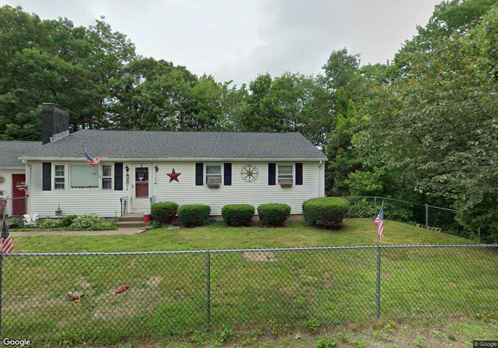
17 Oakland Ave Unit 54 Nashua, NH 03060
South End Nashua NeighborhoodEstimated Value: $467,000 - $648,000
4
Beds
1
Bath
2,232
Sq Ft
$236/Sq Ft
Est. Value
About This Home
This home is located at 17 Oakland Ave Unit 54, Nashua, NH 03060 and is currently estimated at $526,400, approximately $235 per square foot. 17 Oakland Ave Unit 54 is a home located in Hillsborough County with nearby schools including Sunset Heights Elementary School, Elm Street Middle School, and Nashua High School North.
Ownership History
Date
Name
Owned For
Owner Type
Purchase Details
Closed on
Apr 20, 2004
Sold by
Angelo Alison E
Bought by
Robards Richard W
Current Estimated Value
Home Financials for this Owner
Home Financials are based on the most recent Mortgage that was taken out on this home.
Original Mortgage
$237,550
Interest Rate
5.58%
Mortgage Type
Purchase Money Mortgage
Purchase Details
Closed on
Dec 30, 1999
Sold by
Ledoux Ernest A
Bought by
Angelo Alison E
Create a Home Valuation Report for This Property
The Home Valuation Report is an in-depth analysis detailing your home's value as well as a comparison with similar homes in the area
Home Values in the Area
Average Home Value in this Area
Purchase History
| Date | Buyer | Sale Price | Title Company |
|---|---|---|---|
| Robards Richard W | $244,900 | -- | |
| Angelo Alison E | $149,900 | -- |
Source: Public Records
Mortgage History
| Date | Status | Borrower | Loan Amount |
|---|---|---|---|
| Open | Angelo Alison E | $202,909 | |
| Closed | Angelo Alison E | $237,550 |
Source: Public Records
Tax History Compared to Growth
Tax History
| Year | Tax Paid | Tax Assessment Tax Assessment Total Assessment is a certain percentage of the fair market value that is determined by local assessors to be the total taxable value of land and additions on the property. | Land | Improvement |
|---|---|---|---|---|
| 2024 | $7,363 | $463,100 | $151,400 | $311,700 |
| 2023 | $7,059 | $387,200 | $121,100 | $266,100 |
| 2022 | $6,997 | $387,200 | $121,100 | $266,100 |
| 2021 | $6,395 | $275,400 | $80,700 | $194,700 |
| 2020 | $6,186 | $273,600 | $80,700 | $192,900 |
| 2019 | $5,954 | $273,600 | $80,700 | $192,900 |
| 2018 | $5,803 | $273,600 | $80,700 | $192,900 |
| 2017 | $5,055 | $196,000 | $73,100 | $122,900 |
| 2016 | $3,116 | $196,000 | $73,100 | $122,900 |
| 2015 | $4,808 | $196,000 | $73,100 | $122,900 |
| 2014 | $4,714 | $196,000 | $73,100 | $122,900 |
Source: Public Records
Map
Nearby Homes
- 6 Hayden St
- 15 Learned St Unit 123
- 17 Herrick St
- 36 Eastman St Unit 26
- 63 Dexter St
- 27 Fifield St Unit 13
- 61 Spindlewick Dr
- 97 Linwood St
- 15 Lovell St Unit 3
- 15 Lovell St Unit 7
- 15 Lovell St Unit 10
- 1 Circle Ave
- 9 Byron Dr
- 2 Lyons St
- 22 Kern Dr
- 30 Gingras Dr
- 22 Wilder St
- 24 E Otterson St
- 8 Buck St Unit 10
- 54 Linton St
- 19 Oakland Ave Unit 56
- 18 Oakland Ave Unit 48
- 20 Oakland Ave Unit 50
- 21 Oakland Ave Unit 58
- 11 Klondike St Unit 60
- 7 Roby St Unit 8587
- 22 Oakland Ave
- 9 Roby St Unit 8990
- 15 Klondike St Unit 61
- 19 1/4 E Dunstable Rd Unit 43
- 19 E Dunstable Rd Unit 41A42
- 11 Roby St Unit 9293
- 17 E Dunstable Rd
- 19A E Dunstable Rd Unit 4546
- 12 Klondike St Unit 70
- 8 Klondike St Unit 68
- 15 E Dunstable Rd
- 13 Roby St Unit 9596
- 5 Oakland Ave
- 4 Klondike St Unit 66