17 Onieda Dr Lobelville, TN 37097
Estimated Value: $230,884 - $348,000
--
Bed
2
Baths
1,584
Sq Ft
$198/Sq Ft
Est. Value
About This Home
This home is located at 17 Onieda Dr, Lobelville, TN 37097 and is currently estimated at $313,721, approximately $198 per square foot. 17 Onieda Dr is a home located in Perry County.
Ownership History
Date
Name
Owned For
Owner Type
Purchase Details
Closed on
Nov 12, 2020
Sold by
Lanier Charles R
Bought by
Potts Darrell and Potts Melissa
Current Estimated Value
Purchase Details
Closed on
Sep 30, 2011
Sold by
Warren Mark G
Bought by
Lanier Charles R
Purchase Details
Closed on
Dec 28, 2000
Bought by
Warren Mark G
Purchase Details
Closed on
Nov 18, 1987
Bought by
Pardue Timothy Fate
Create a Home Valuation Report for This Property
The Home Valuation Report is an in-depth analysis detailing your home's value as well as a comparison with similar homes in the area
Home Values in the Area
Average Home Value in this Area
Purchase History
| Date | Buyer | Sale Price | Title Company |
|---|---|---|---|
| Potts Darrell | $152,000 | Assure Title Llc | |
| Lanier Charles R | $136,500 | -- | |
| Warren Mark G | $95,000 | -- | |
| Pardue Timothy Fate | -- | -- |
Source: Public Records
Tax History Compared to Growth
Tax History
| Year | Tax Paid | Tax Assessment Tax Assessment Total Assessment is a certain percentage of the fair market value that is determined by local assessors to be the total taxable value of land and additions on the property. | Land | Improvement |
|---|---|---|---|---|
| 2024 | $861 | $37,475 | $4,500 | $32,975 |
| 2023 | $861 | $37,475 | $4,500 | $32,975 |
| 2022 | $861 | $37,475 | $4,500 | $32,975 |
| 2021 | $840 | $36,600 | $4,500 | $32,100 |
| 2020 | $840 | $36,600 | $4,500 | $32,100 |
| 2019 | $619 | $24,950 | $4,500 | $20,450 |
| 2018 | $619 | $24,950 | $4,500 | $20,450 |
| 2017 | $611 | $24,950 | $4,500 | $20,450 |
| 2016 | $611 | $24,950 | $4,500 | $20,450 |
| 2015 | $599 | $24,950 | $4,500 | $20,450 |
| 2014 | $599 | $24,950 | $4,500 | $20,450 |
| 2013 | $591 | $24,620 | $0 | $0 |
Source: Public Records
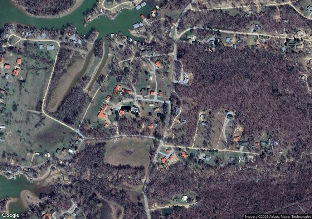
Map
Nearby Homes
- 346 Martin Landing Rd
- 47 Overlook Point
- 47 Overlook Point Rd
- 824 Driftwood Dr
- 11460 Crooked Creek Rd
- 3900 Roan Creek Rd
- 11970 Crooked Creek Rd
- 2554 Ridgeway Dr
- Lots 14/16 Ridgeway Dr
- LOT 14/16 Ridgeway Dr
- Lots 49 & 50 Ridgeway Dr
- 793 Ridgeway Dr
- LOTS 17 & 21 Ridgeway Dr
- Lots 17 & 21 Ridgeway Dr
- 123 Lower Roans Creek Rd
- 000 Pheasant Ridge Rd
- 00 Red Ash Rd
- 0 Krebs Cir
- 102 Denson Landing Cemetery Rd
- 000 Redbud Rd
- 28 Oneida Dr
- 2125 Britt Rd
- 395 Martin Cir
- 375 Martin Cir
- 2049 Britt Rd
- 49 Martin Cir
- 19 Martin Cir
- 95 Onieda Dr
- 66 Onieda Dr
- 0 Cresent Ridge Rd Unit 1629011
- 61 Cresent Ridge Rd
- 62 Onieda Dr
- 64 Onieda Dr
- 50 Cresent Ridge Rd
- 14 Martin Cir
- 108 Oneida Dr
- 70 Cresent Ridge Rd
- 125 Cresent Ridge Rd
- 80 Cresent Ridge Rd
- 6 Outback Rd