17 Partridge Dr North Woodstock, NH 03262
Estimated Value: $428,604 - $550,000
3
Beds
3
Baths
784
Sq Ft
$616/Sq Ft
Est. Value
About This Home
This home is located at 17 Partridge Dr, North Woodstock, NH 03262 and is currently estimated at $482,651, approximately $615 per square foot. 17 Partridge Dr is a home with nearby schools including Lin-Wood Public Elementary School.
Ownership History
Date
Name
Owned For
Owner Type
Purchase Details
Closed on
Nov 2, 2018
Sold by
Stout Brian and Stout Sandra
Bought by
Stout Nt
Current Estimated Value
Purchase Details
Closed on
Mar 14, 2005
Sold by
Giordano Antonio and Giordano Mary
Bought by
Stout Brian and Stout Sandra
Home Financials for this Owner
Home Financials are based on the most recent Mortgage that was taken out on this home.
Original Mortgage
$182,900
Interest Rate
5.64%
Create a Home Valuation Report for This Property
The Home Valuation Report is an in-depth analysis detailing your home's value as well as a comparison with similar homes in the area
Home Values in the Area
Average Home Value in this Area
Purchase History
| Date | Buyer | Sale Price | Title Company |
|---|---|---|---|
| Stout Nt | -- | -- | |
| Stout Brian | $215,300 | -- |
Source: Public Records
Mortgage History
| Date | Status | Borrower | Loan Amount |
|---|---|---|---|
| Previous Owner | Stout Brian | $158,881 | |
| Previous Owner | Stout Brian | $182,900 |
Source: Public Records
Tax History Compared to Growth
Tax History
| Year | Tax Paid | Tax Assessment Tax Assessment Total Assessment is a certain percentage of the fair market value that is determined by local assessors to be the total taxable value of land and additions on the property. | Land | Improvement |
|---|---|---|---|---|
| 2024 | $3,867 | $190,300 | $97,400 | $92,900 |
| 2023 | $3,699 | $190,300 | $97,400 | $92,900 |
| 2022 | $3,498 | $190,300 | $97,400 | $92,900 |
| 2021 | $3,616 | $190,300 | $97,400 | $92,900 |
| 2020 | $3,796 | $190,300 | $97,400 | $92,900 |
| 2019 | $3,123 | $144,000 | $68,700 | $75,300 |
| 2018 | $2,882 | $144,000 | $68,700 | $75,300 |
| 2016 | $2,864 | $144,000 | $68,700 | $75,300 |
| 2015 | $2,726 | $144,000 | $68,700 | $75,300 |
| 2014 | $2,754 | $145,800 | $68,700 | $77,100 |
| 2012 | $2,800 | $156,620 | $58,260 | $98,360 |
Source: Public Records
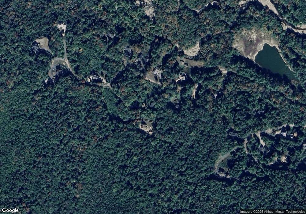
Map
Nearby Homes
- 25 Main St
- 206-011 Lost River Rd
- 252-254 Lost River Rd
- 23 Oakes St
- 56 Kancamagus Hwy
- 11 Cascade Dr Unit 288
- 17 Ridge Dr Unit A-14
- 164 Deer Park Dr Unit 160D
- 164 Deer Park Dr Unit 161D
- 164 Deer Park Dr Unit 168D
- 156 Deer Park Dr Unit 135 A
- 14 Monroe Dr Unit 92
- 6 Monroe Dr Unit 111
- 65 Riverfront Dr Unit 217
- 45 Riverfront Dr Unit 242
- 16 Riverfront Dr Unit 293
- 16 Riverfront Dr Unit 292
- 9 Moose Ln
- 34 Franklin St
- 78 Main St Unit 3A
- 21 Partridge Dr
- 36 Partridge Dr
- 72 Grandview Dr
- 94 Grandview Dr
- 116 Grandview Rd
- 104 Grandview Dr
- 10 Pleasant Heights Dr
- 69 Grandview Dr
- 50 Grandview Dr
- 33 Pleasant Heights
- 21 Nicholson Dr
- 29 Nicholson Dr
- 50 Upper Grandview Dr
- 52 Upper Grandview Dr
- 0 Grandview Dr
- 029 Grandview Dr Unit 62A
- 030 Grandview Dr Unit 62
- 42 Grandview Dr
- 79 Grandview Dr
- 42 Upper Grandview Rd Unit 13+15 (AKA 14+18)