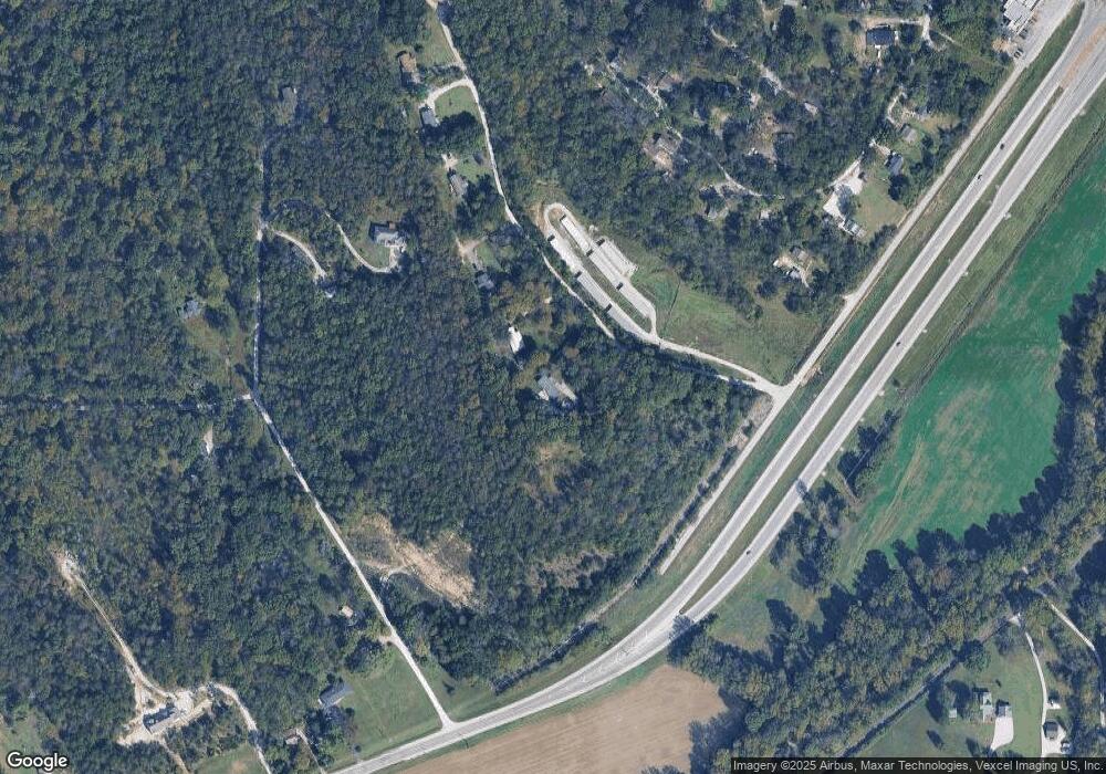
17 Pine Ln Cedar Hill, MO 63016
Estimated Value: $181,000 - $394,000
Studio
--
Bath
1,809
Sq Ft
$138/Sq Ft
Est. Value
About This Home
This home is located at 17 Pine Ln, Cedar Hill, MO 63016 and is currently estimated at $249,154, approximately $137 per square foot. 17 Pine Ln is a home located in Jefferson County with nearby schools including Northwest High School.
Ownership History
Date
Name
Owned For
Owner Type
Purchase Details
Closed on
Oct 29, 2024
Sold by
Burgess Ronald R
Bought by
Burgess Robert M
Current Estimated Value
Home Financials for this Owner
Home Financials are based on the most recent Mortgage that was taken out on this home.
Original Mortgage
$82,012
Outstanding Balance
$81,107
Interest Rate
6.09%
Mortgage Type
New Conventional
Estimated Equity
$168,047
Purchase Details
Closed on
Mar 31, 1998
Sold by
Elam David P
Bought by
Burgess Ronald R
Home Financials for this Owner
Home Financials are based on the most recent Mortgage that was taken out on this home.
Original Mortgage
$12,000
Interest Rate
7.13%
Mortgage Type
Seller Take Back
Purchase Details
Closed on
Feb 27, 1998
Sold by
Julian Linda F
Bought by
Elam David P
Home Financials for this Owner
Home Financials are based on the most recent Mortgage that was taken out on this home.
Original Mortgage
$12,000
Interest Rate
7.13%
Mortgage Type
Seller Take Back
Create a Home Valuation Report for This Property
The Home Valuation Report is an in-depth analysis detailing your home's value as well as a comparison with similar homes in the area
Purchase History
| Date | Buyer | Sale Price | Title Company |
|---|---|---|---|
| Burgess Robert M | -- | Investors Title Company | |
| Burgess Ronald R | -- | None Listed On Document | |
| Burgess Ronald R | -- | Hillsboro Title Company Inc | |
| Elam David P | -- | -- |
Source: Public Records
Mortgage History
| Date | Status | Borrower | Loan Amount |
|---|---|---|---|
| Open | Burgess Ronald R | $82,012 | |
| Previous Owner | Elam David P | $12,000 |
Source: Public Records
Tax History Compared to Growth
Tax History
| Year | Tax Paid | Tax Assessment Tax Assessment Total Assessment is a certain percentage of the fair market value that is determined by local assessors to be the total taxable value of land and additions on the property. | Land | Improvement |
|---|---|---|---|---|
| 2025 | $1,773 | $25,200 | $2,700 | $22,500 |
| 2024 | $1,773 | $23,400 | $2,700 | $20,700 |
| 2023 | $1,773 | $23,400 | $2,700 | $20,700 |
| 2022 | $1,766 | $23,400 | $2,700 | $20,700 |
| 2021 | $1,748 | $23,400 | $2,700 | $20,700 |
| 2020 | $1,609 | $20,900 | $2,500 | $18,400 |
| 2019 | $1,609 | $20,900 | $2,500 | $18,400 |
| 2018 | $1,604 | $20,900 | $2,500 | $18,400 |
| 2017 | $1,528 | $20,900 | $2,500 | $18,400 |
| 2016 | $1,346 | $18,400 | $2,500 | $15,900 |
| 2015 | -- | $18,400 | $2,500 | $15,900 |
Source: Public Records
Map
Nearby Homes
- 7218 Lakeshore Dr
- 7016 Oakwood Dr
- 0 Terri Hill Dr
- 8405 Midway Dr
- 7324 Lakeshore Dr
- 8911 Kitson Ln
- 7322 Springdale
- 0 Lakeshore Dr
- 7320 Cedar Dr
- 7320 Woodland Dr
- 6207 Cedar Brook Dr
- 9020 Hickory Dr
- 8520 Lake Dr
- 7678 Burgess Ford Rd
- 69 Cedar Hill Estates Unit C-42
- 7970 State Road B
- 7664 Vista Dr
- 6566 Cedar Hill Rd
- 7831 Cedar Tree Dr
- Off Ridge Rd
- 19 Pine Ln
- 39 Twin Pines - Cedar Model Lot
- 32 Pine Ln
- 20 Pine Ln
- 21 Pine Ln
- 16 Twin Pines - Walnut Model Lot
- 8613 Diehl Rd
- 10 Twin Pines - Cedar Model Lot
- 62 Twin Pines - Cedar Model Lot
- 0 Hwy 30 Unit n/a 80011383
- 0 Hwy 30 Unit n/a 80006614
- 0 Hwy 30 Unit 10005763
- 0 Hwy 30 Unit 12046637
- 0 Hwy 30 Unit 17024092
- 0 4 22 Acs Off Hwy 30 Unit 18089141
- 7125 Schifon Ln
- 23 Pine Ln
- 0 4 22 + - Acres Diehl Rd
- 7056 Oak Dr
- 7070 Oak Dr
