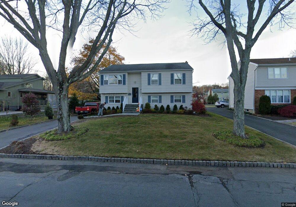
17 Princeton St Summit, NJ 07901
Estimated Value: $962,000 - $1,119,000
Studio
--
Bath
2,208
Sq Ft
$474/Sq Ft
Est. Value
About This Home
This home is located at 17 Princeton St, Summit, NJ 07901 and is currently estimated at $1,045,784, approximately $473 per square foot. 17 Princeton St is a home located in Union County with nearby schools including L C Johnson Summit Middle School, Summit Sr High School, and St James The Apostle School.
Ownership History
Date
Name
Owned For
Owner Type
Purchase Details
Closed on
Nov 2, 2011
Sold by
Petoia Robert and Petoia Jean
Bought by
Infantini Joseph and Infantini Karen
Current Estimated Value
Home Financials for this Owner
Home Financials are based on the most recent Mortgage that was taken out on this home.
Original Mortgage
$46,000
Outstanding Balance
$31,216
Interest Rate
3.92%
Mortgage Type
Credit Line Revolving
Estimated Equity
$1,014,568
Purchase Details
Closed on
Jun 15, 1999
Sold by
Lefante Anthony and Lefante Florence
Bought by
Petoia Robert and Petoia Jean
Create a Home Valuation Report for This Property
The Home Valuation Report is an in-depth analysis detailing your home's value as well as a comparison with similar homes in the area
Home Values in the Area
Average Home Value in this Area
Purchase History
We collect this data history from publicly available records. To have your information removed, we recommend requesting removal directly through your county’s website.
| Date | Buyer | Sale Price | Title Company |
|---|---|---|---|
| Infantini Joseph | $465,000 | Chicago Title Insurance Co | |
| Petoia Robert | -- | -- |
Source: Public Records
Mortgage History
We collect this data history from publicly available records. To have your information removed, we recommend requesting removal directly through your county’s website.
| Date | Status | Borrower | Loan Amount |
|---|---|---|---|
| Open | Infantini Joseph | $46,000 | |
| Open | Infantini Joseph | $372,000 |
Source: Public Records
Tax History
| Year | Tax Paid | Tax Assessment Tax Assessment Total Assessment is a certain percentage of the fair market value that is determined by local assessors to be the total taxable value of land and additions on the property. | Land | Improvement |
|---|---|---|---|---|
| 2025 | $12,580 | $288,800 | $156,600 | $132,200 |
| 2024 | $11,968 | $288,800 | $156,600 | $132,200 |
| 2023 | $11,968 | $276,600 | $156,600 | $120,000 |
| 2022 | $11,847 | $276,600 | $156,600 | $120,000 |
| 2021 | $11,941 | $276,600 | $156,600 | $120,000 |
| 2020 | $12,060 | $276,600 | $156,600 | $120,000 |
| 2019 | $12,074 | $276,600 | $156,600 | $120,000 |
| 2018 | $11,996 | $276,600 | $156,600 | $120,000 |
| 2017 | $12,074 | $276,600 | $156,600 | $120,000 |
| 2016 | $11,897 | $276,600 | $156,600 | $120,000 |
| 2015 | $11,664 | $276,600 | $156,600 | $120,000 |
| 2014 | $11,363 | $276,600 | $156,600 | $120,000 |
Source: Public Records
Map
Nearby Homes
- 13 Harvard St
- 37-39 Edison Dr
- 28 Morris Ave Unit G4
- 8 Edison Dr
- 26 Orchard St
- 22 Orchard St
- 103 Park Ave Unit A6
- 23 Argyle Ct
- 16 Russell Place
- 34 Clark St
- 97B Troy Dr Unit B
- 105D Troy Dr Unit 105D
- 133 Morris Ave
- 4 Denman Place
- 31B Troy Dr Unit B
- 31 Troy Dr Unit B
- 41 Milton Ave
- 28 Glenside Ave
- 21A Troy Dr
- 1A Troy Dr Unit A
Your Personal Tour Guide
Ask me questions while you tour the home.