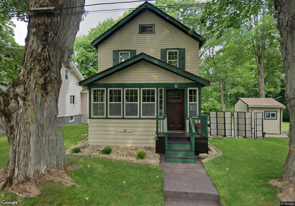
17 Quaboag St Worcester, MA 01602
Webster Square NeighborhoodEstimated Value: $402,803 - $466,000
3
Beds
1
Bath
1,380
Sq Ft
$313/Sq Ft
Est. Value
About This Home
This home is located at 17 Quaboag St, Worcester, MA 01602 and is currently estimated at $431,951, approximately $313 per square foot. 17 Quaboag St is a home located in Worcester County with nearby schools including Chandler Magnet, Jacob Hiatt Magnet School, and May Street Elementary School.
Ownership History
Date
Name
Owned For
Owner Type
Purchase Details
Closed on
Apr 16, 1993
Sold by
Meagher Andrew C and Mowry Dorothy
Bought by
Brammer Jody K and Brammer Karen
Current Estimated Value
Home Financials for this Owner
Home Financials are based on the most recent Mortgage that was taken out on this home.
Original Mortgage
$49,500
Interest Rate
7.39%
Mortgage Type
Purchase Money Mortgage
Create a Home Valuation Report for This Property
The Home Valuation Report is an in-depth analysis detailing your home's value as well as a comparison with similar homes in the area
Home Values in the Area
Average Home Value in this Area
Purchase History
| Date | Buyer | Sale Price | Title Company |
|---|---|---|---|
| Brammer Jody K | $55,000 | -- |
Source: Public Records
Mortgage History
| Date | Status | Borrower | Loan Amount |
|---|---|---|---|
| Closed | Brammer Jody K | $49,500 |
Source: Public Records
Tax History
| Year | Tax Paid | Tax Assessment Tax Assessment Total Assessment is a certain percentage of the fair market value that is determined by local assessors to be the total taxable value of land and additions on the property. | Land | Improvement |
|---|---|---|---|---|
| 2025 | $4,522 | $342,800 | $98,500 | $244,300 |
| 2024 | $4,320 | $314,200 | $98,500 | $215,700 |
| 2023 | $4,154 | $289,700 | $85,700 | $204,000 |
| 2022 | $3,830 | $251,800 | $68,600 | $183,200 |
| 2021 | $3,720 | $228,500 | $54,900 | $173,600 |
| 2020 | $3,526 | $207,400 | $54,500 | $152,900 |
| 2019 | $3,361 | $186,700 | $47,600 | $139,100 |
| 2018 | $3,343 | $176,800 | $47,600 | $129,200 |
| 2017 | $3,192 | $166,100 | $47,600 | $118,500 |
| 2016 | $3,166 | $153,600 | $34,000 | $119,600 |
| 2015 | $3,083 | $153,600 | $34,000 | $119,600 |
| 2014 | $3,001 | $153,600 | $34,000 | $119,600 |
Source: Public Records
Map
Nearby Homes
- 415 Mill St
- 5 Swan Ave
- 22 Outlook Dr
- 6 Ludington Rd
- 32 Zenith Dr
- 47 4th St
- 34 Rosslare Dr Unit 108
- 47R Yarnie Unit 3B
- 47R Yarnie Unit 3A
- 47R Yarnie Unit 1B
- 47R Yarnie Unit 2B
- 47R Yarnie Unit 4B
- 47R Yarnie Unit 8B
- 47R Yarnie Unit 5A
- 47R Yarnie Unit 6B
- 47R Yarnie Unit 4A
- 47R Yarnie Unit 1A
- 47R Yarnie Unit 9
- 47R Yarnie Unit 8A
- 47R Yarnie Unit 6A
Your Personal Tour Guide
Ask me questions while you tour the home.