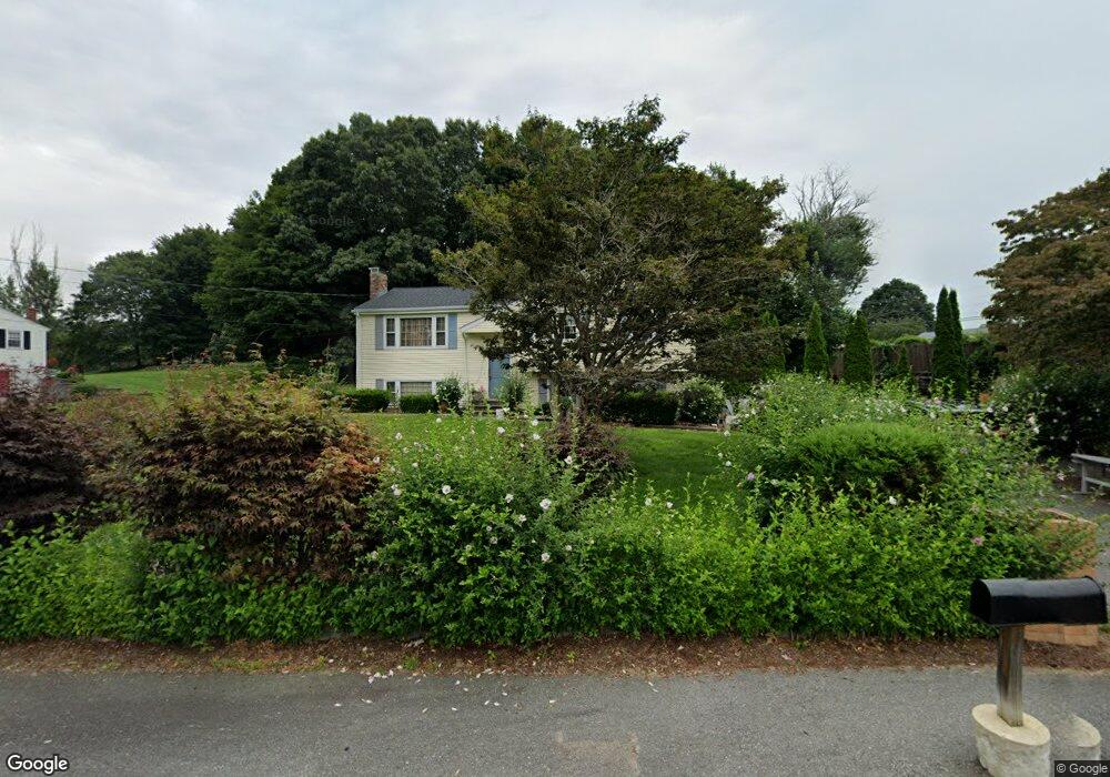
17 Raffaele Rd Marlborough, MA 01752
Estimated Value: $544,000 - $630,000
3
Beds
1
Bath
1,200
Sq Ft
$489/Sq Ft
Est. Value
About This Home
This home is located at 17 Raffaele Rd, Marlborough, MA 01752 and is currently estimated at $587,395, approximately $489 per square foot. 17 Raffaele Rd is a home located in Middlesex County with nearby schools including Marlborough High School, New Covenant Christian School, and Glenhaven Academy - JRI School.
Ownership History
Date
Name
Owned For
Owner Type
Purchase Details
Closed on
Jan 31, 2005
Sold by
Tempesta Daniel M and Tempesta Phyllis A
Bought by
Aguirre Aida C and Aguirre Miguel A
Current Estimated Value
Home Financials for this Owner
Home Financials are based on the most recent Mortgage that was taken out on this home.
Original Mortgage
$220,000
Outstanding Balance
$111,234
Interest Rate
5.67%
Mortgage Type
Purchase Money Mortgage
Estimated Equity
$476,161
Purchase Details
Closed on
Apr 29, 2002
Sold by
Clermont Jean A
Bought by
Tempesta Daniel M and Tempesta Phyllis A
Home Financials for this Owner
Home Financials are based on the most recent Mortgage that was taken out on this home.
Original Mortgage
$125,000
Interest Rate
7.05%
Mortgage Type
Purchase Money Mortgage
Create a Home Valuation Report for This Property
The Home Valuation Report is an in-depth analysis detailing your home's value as well as a comparison with similar homes in the area
Home Values in the Area
Average Home Value in this Area
Purchase History
| Date | Buyer | Sale Price | Title Company |
|---|---|---|---|
| Aguirre Aida C | $340,000 | -- | |
| Tempesta Daniel M | $294,900 | -- |
Source: Public Records
Mortgage History
| Date | Status | Borrower | Loan Amount |
|---|---|---|---|
| Open | Aguirre Aida C | $220,000 | |
| Previous Owner | Tempesta Daniel M | $125,000 |
Source: Public Records
Tax History Compared to Growth
Tax History
| Year | Tax Paid | Tax Assessment Tax Assessment Total Assessment is a certain percentage of the fair market value that is determined by local assessors to be the total taxable value of land and additions on the property. | Land | Improvement |
|---|---|---|---|---|
| 2025 | $4,676 | $474,200 | $228,600 | $245,600 |
| 2024 | $4,545 | $443,800 | $207,900 | $235,900 |
| 2023 | $4,981 | $431,600 | $179,100 | $252,500 |
| 2022 | $4,871 | $371,300 | $170,600 | $200,700 |
| 2021 | $4,652 | $337,100 | $142,200 | $194,900 |
| 2020 | $4,563 | $321,800 | $135,500 | $186,300 |
| 2019 | $4,449 | $316,200 | $132,800 | $183,400 |
| 2018 | $4,525 | $309,300 | $115,000 | $194,300 |
| 2017 | $4,365 | $284,900 | $112,500 | $172,400 |
| 2016 | $4,220 | $275,100 | $112,500 | $162,600 |
| 2015 | $3,921 | $248,800 | $114,500 | $134,300 |
Source: Public Records
Map
Nearby Homes
- 45 Raffaele Rd
- 38 Airport Blvd
- 114 Lodi Rd
- 323 Robert Rd
- 256 Robert Rd
- 117 Hosmer St
- 57 Paquin Dr
- 274 Naugler Ave
- 137 Naugler Ave
- 37 Hosmer St Unit 10
- 37 Hosmer St Unit 20
- 24 Clinton St
- 211 Stevens St
- 16 Clinton St
- 492 Stow Rd
- 164 Stevens St
- 25 Walnut St
- 110 Boston Post Rd E Unit 104
- 38 Collins Dr
- 97 Cook Ln