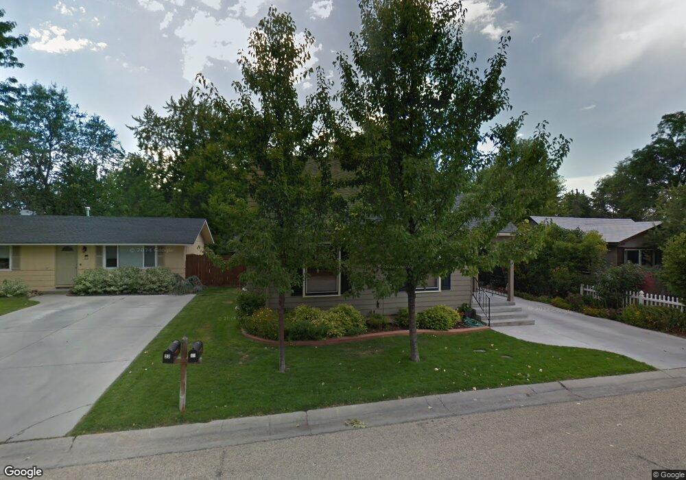
17 Roger St Boise, ID 83705
Depot Bench NeighborhoodEstimated Value: $436,000 - $522,000
2
Beds
2
Baths
1,713
Sq Ft
$284/Sq Ft
Est. Value
About This Home
This home is located at 17 Roger St, Boise, ID 83705 and is currently estimated at $487,047, approximately $284 per square foot. 17 Roger St is a home located in Ada County with nearby schools including Jefferson Elementary School, South Junior High School, and Borah Senior High School.
Ownership History
Date
Name
Owned For
Owner Type
Purchase Details
Closed on
Apr 24, 2007
Sold by
Sabala Chris and Sabala Heather
Bought by
Kelly Stanton D and Kelly Nancy J
Current Estimated Value
Home Financials for this Owner
Home Financials are based on the most recent Mortgage that was taken out on this home.
Original Mortgage
$90,000
Interest Rate
5.84%
Mortgage Type
Purchase Money Mortgage
Purchase Details
Closed on
Jan 16, 1997
Sold by
Liles Curtis and Liles Karyn
Bought by
Redfern Ron and Redfern Karen
Create a Home Valuation Report for This Property
The Home Valuation Report is an in-depth analysis detailing your home's value as well as a comparison with similar homes in the area
Home Values in the Area
Average Home Value in this Area
Purchase History
| Date | Buyer | Sale Price | Title Company |
|---|---|---|---|
| Kelly Stanton D | -- | Transnation Title | |
| Redfern Ron | $10,000 | Alliance Title & Escrow Corp |
Source: Public Records
Mortgage History
| Date | Status | Borrower | Loan Amount |
|---|---|---|---|
| Closed | Kelly Stanton D | $90,000 |
Source: Public Records
Tax History Compared to Growth
Tax History
| Year | Tax Paid | Tax Assessment Tax Assessment Total Assessment is a certain percentage of the fair market value that is determined by local assessors to be the total taxable value of land and additions on the property. | Land | Improvement |
|---|---|---|---|---|
| 2025 | $2,975 | $465,600 | -- | -- |
| 2024 | $2,405 | $452,800 | -- | -- |
| 2023 | $2,405 | $376,900 | $0 | $0 |
| 2022 | $3,432 | $520,800 | $0 | $0 |
| 2021 | $3,307 | $427,600 | $0 | $0 |
| 2020 | $2,724 | $329,400 | $0 | $0 |
| 2019 | $2,410 | $277,600 | $0 | $0 |
| 2018 | $2,302 | $251,600 | $0 | $0 |
| 2017 | $1,726 | $208,000 | $0 | $0 |
| 2016 | $1,560 | $190,000 | $0 | $0 |
| 2015 | $1,461 | $175,600 | $0 | $0 |
| 2012 | -- | $115,100 | $0 | $0 |
Source: Public Records
Map
Nearby Homes
- 3311 W Hamilton St
- 3075 W Crescent Rim Dr Unit 301
- 3409 W Alpine St
- 3311 Hamilton St
- 3059 W Crescent Rim Dr Unit 201
- 3005 W Crescent Rim Dr Unit 302
- 3100 W Crescent Rim Dr Unit 308
- 3100 W Crescent Rim Dr Unit 307
- 203 Ruby St
- 33 S Mike St
- 3742 W Rose Hill St
- 1806 S Abbs St
- 3848 W Rose Hill St
- 2846 W Cassia St
- 2834 W Cassia St
- 549 S Victoria Dr
- 702 Opal St
- 3609 Camas St
- 1009 Day Dr
- 4530 W Tabitha St