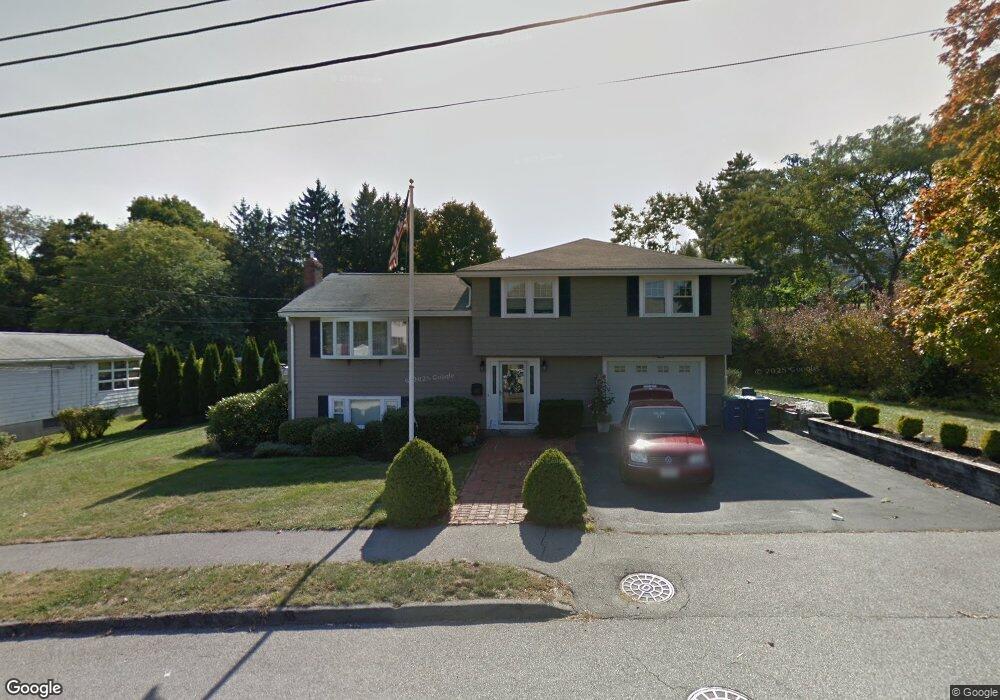
17 Rogers Cir Braintree, MA 02184
East Braintree NeighborhoodEstimated Value: $831,000 - $938,000
3
Beds
2
Baths
2,453
Sq Ft
$355/Sq Ft
Est. Value
About This Home
This home is located at 17 Rogers Cir, Braintree, MA 02184 and is currently estimated at $871,089, approximately $355 per square foot. 17 Rogers Cir is a home located in Norfolk County with nearby schools including Braintree High School, Meeting House Montessori School, and Sacred Heart Elementary School.
Ownership History
Date
Name
Owned For
Owner Type
Purchase Details
Closed on
Oct 21, 2024
Sold by
Doran J J J and Doran Rosemary
Bought by
Rosemary E Doran T E and Rosemary Doran
Current Estimated Value
Purchase Details
Closed on
Aug 22, 1983
Bought by
Doran J Joseph and Doran Rosemary
Create a Home Valuation Report for This Property
The Home Valuation Report is an in-depth analysis detailing your home's value as well as a comparison with similar homes in the area
Home Values in the Area
Average Home Value in this Area
Purchase History
| Date | Buyer | Sale Price | Title Company |
|---|---|---|---|
| Rosemary E Doran T E | -- | None Available | |
| Rosemary E Doran T E | -- | None Available | |
| Doran J Joseph | -- | -- |
Source: Public Records
Mortgage History
| Date | Status | Borrower | Loan Amount |
|---|---|---|---|
| Previous Owner | Doran J Joseph | $55,000 | |
| Previous Owner | Doran J Joseph | $100,000 | |
| Previous Owner | Doran J Joseph | $80,000 |
Source: Public Records
Tax History Compared to Growth
Tax History
| Year | Tax Paid | Tax Assessment Tax Assessment Total Assessment is a certain percentage of the fair market value that is determined by local assessors to be the total taxable value of land and additions on the property. | Land | Improvement |
|---|---|---|---|---|
| 2025 | $7,503 | $751,800 | $399,300 | $352,500 |
| 2024 | $6,736 | $710,600 | $367,700 | $342,900 |
| 2023 | $5,919 | $606,500 | $336,200 | $270,300 |
| 2022 | $5,617 | $564,500 | $294,200 | $270,300 |
| 2021 | $5,272 | $529,800 | $265,800 | $264,000 |
| 2020 | $4,986 | $505,700 | $241,700 | $264,000 |
| 2019 | $5,078 | $503,300 | $241,700 | $261,600 |
| 2018 | $4,852 | $460,300 | $210,100 | $250,200 |
| 2017 | $4,648 | $432,800 | $199,600 | $233,200 |
| 2016 | $4,511 | $410,800 | $189,100 | $221,700 |
| 2015 | $4,501 | $406,600 | $184,900 | $221,700 |
| 2014 | $4,059 | $355,400 | $160,800 | $194,600 |
Source: Public Records
Map
Nearby Homes
- 1 Pantano St
- 48 Conrad St
- 106 Home Park Rd
- 86 Alton Rd
- 74 Magnolia St
- 30 Skyline Dr Unit 6
- 10 Skyline Dr Unit 5
- 159 Hobart St
- 9 Independence Ave Unit 307
- 25 W Howard St Unit D2
- 192 Federal Ave Unit B
- 141 Hobart St
- 15 Bower Rd Unit B5
- 15 Bower Rd Unit B2
- 9 Berwick St
- 312 Shaw St
- 200 Falls Blvd Unit C308
- 166 Phipps St
- 177 Franklin St
- 67 Somerville Ave