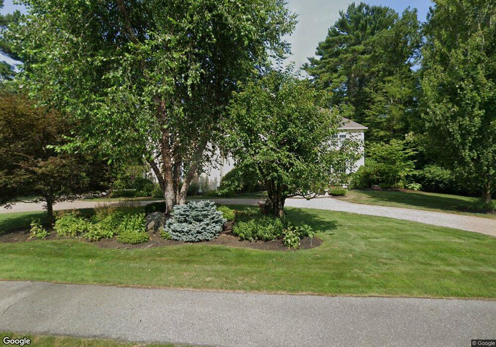
17 Ross Ln Middleton, MA 01949
Estimated Value: $2,105,000 - $2,769,000
5
Beds
5
Baths
6,207
Sq Ft
$383/Sq Ft
Est. Value
About This Home
This home is located at 17 Ross Ln, Middleton, MA 01949 and is currently estimated at $2,377,577, approximately $383 per square foot. 17 Ross Ln is a home located in Essex County with nearby schools including Howe-Manning Elementary School, Fuller Meadow Elementary School, and Masconomet Regional Middle School.
Ownership History
Date
Name
Owned For
Owner Type
Purchase Details
Closed on
Mar 2, 2023
Sold by
17 Ross Lane Rt and Lisiak
Bought by
Lisiak Ret and Lisiak
Current Estimated Value
Purchase Details
Closed on
Oct 15, 2015
Sold by
Lisiak Kenneth P and Lisiak Janice M
Bought by
17 Ross Lane Rt and Lisiak
Purchase Details
Closed on
May 16, 2007
Sold by
Smith Farm Ests Dev Co
Bought by
Lisiak Kenneth and Lisiak Janice M
Home Financials for this Owner
Home Financials are based on the most recent Mortgage that was taken out on this home.
Original Mortgage
$237,825
Interest Rate
6.18%
Create a Home Valuation Report for This Property
The Home Valuation Report is an in-depth analysis detailing your home's value as well as a comparison with similar homes in the area
Home Values in the Area
Average Home Value in this Area
Purchase History
| Date | Buyer | Sale Price | Title Company |
|---|---|---|---|
| Lisiak Ret | -- | None Available | |
| 17 Ross Lane Rt | -- | -- | |
| Lisiak Kenneth | $525,000 | -- |
Source: Public Records
Mortgage History
| Date | Status | Borrower | Loan Amount |
|---|---|---|---|
| Previous Owner | Lisiak Kenneth | $237,825 | |
| Previous Owner | Lisiak Kenneth | $1,268,400 |
Source: Public Records
Tax History Compared to Growth
Tax History
| Year | Tax Paid | Tax Assessment Tax Assessment Total Assessment is a certain percentage of the fair market value that is determined by local assessors to be the total taxable value of land and additions on the property. | Land | Improvement |
|---|---|---|---|---|
| 2025 | $26,170 | $2,201,000 | $660,600 | $1,540,400 |
| 2024 | $24,916 | $2,113,300 | $564,500 | $1,548,800 |
| 2023 | $21,853 | $1,698,000 | $632,300 | $1,065,700 |
| 2022 | $20,034 | $1,512,000 | $459,500 | $1,052,500 |
| 2021 | $20,731 | $1,511,000 | $480,100 | $1,030,900 |
| 2020 | $20,821 | $1,528,700 | $480,100 | $1,048,600 |
| 2019 | $21,830 | $1,594,600 | $488,900 | $1,105,700 |
| 2018 | $21,681 | $1,553,100 | $538,900 | $1,014,200 |
| 2017 | $20,914 | $1,499,200 | $509,500 | $989,700 |
| 2016 | $20,150 | $1,450,700 | $509,500 | $941,200 |
Source: Public Records
Map
Nearby Homes
- 3 Warren Dr
- 78 Mill St
- 112 Mill St
- 70 Mill St
- 121 Liberty St
- 37 Moonpenny Dr
- 20-B Wildmeadow Rd
- 34 Wildmeadow Rd
- 4 Wildmeadow Rd
- 2 New Meadow Ln
- 10 Callaway Dr Unit 10
- 22 Locust St
- 34 Kenney Rd
- 8 Lebeau Dr
- 77 Essex St
- 35 Central St
- 14 Alderbrook Dr
- 10 Haymeadow Rd
- 53 N Main St Unit 53
- 196-200 B1 N Main St