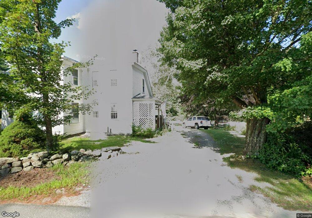
17 Route 123 S Stoddard, NH 03464
Estimated Value: $405,000 - $484,000
4
Beds
1
Bath
2,288
Sq Ft
$190/Sq Ft
Est. Value
About This Home
This home is located at 17 Route 123 S, Stoddard, NH 03464 and is currently estimated at $434,506, approximately $189 per square foot. 17 Route 123 S is a home located in Cheshire County with nearby schools including James Faulkner Elementary School and Keene High School.
Ownership History
Date
Name
Owned For
Owner Type
Purchase Details
Closed on
Mar 31, 2021
Sold by
Chandler Charles H Est
Bought by
Spyropoulos Leaf T
Current Estimated Value
Home Financials for this Owner
Home Financials are based on the most recent Mortgage that was taken out on this home.
Original Mortgage
$234,500
Outstanding Balance
$211,038
Interest Rate
2.8%
Mortgage Type
Purchase Money Mortgage
Estimated Equity
$223,468
Purchase Details
Closed on
Mar 2, 1998
Sold by
Athearn Ruth C
Bought by
Chandler Charles H
Home Financials for this Owner
Home Financials are based on the most recent Mortgage that was taken out on this home.
Original Mortgage
$50,000
Interest Rate
6.85%
Create a Home Valuation Report for This Property
The Home Valuation Report is an in-depth analysis detailing your home's value as well as a comparison with similar homes in the area
Home Values in the Area
Average Home Value in this Area
Purchase History
| Date | Buyer | Sale Price | Title Company |
|---|---|---|---|
| Spyropoulos Leaf T | $224,000 | None Available | |
| Chandler Charles H | $50,000 | -- |
Source: Public Records
Mortgage History
| Date | Status | Borrower | Loan Amount |
|---|---|---|---|
| Open | Spyropoulos Leaf T | $234,500 | |
| Previous Owner | Chandler Charles H | $50,000 |
Source: Public Records
Tax History Compared to Growth
Tax History
| Year | Tax Paid | Tax Assessment Tax Assessment Total Assessment is a certain percentage of the fair market value that is determined by local assessors to be the total taxable value of land and additions on the property. | Land | Improvement |
|---|---|---|---|---|
| 2024 | $3,661 | $311,300 | $71,590 | $239,710 |
| 2023 | $4,538 | $267,270 | $51,640 | $215,630 |
| 2022 | $4,365 | $267,270 | $51,640 | $215,630 |
| 2021 | $4,429 | $267,270 | $51,640 | $215,630 |
| 2020 | $4,386 | $267,270 | $51,640 | $215,630 |
| 2019 | $4,036 | $267,270 | $51,640 | $215,630 |
| 2018 | $3,604 | $225,410 | $44,740 | $180,670 |
| 2016 | $3,379 | $225,410 | $44,740 | $180,670 |
| 2014 | $3,586 | $225,410 | $44,740 | $180,670 |
| 2013 | $3,674 | $233,410 | $52,740 | $180,670 |
Source: Public Records
Map
Nearby Homes
- 42-11 Route 9
- 0 Juniper Hill Rd Unit 5051120
- 321 Route 123 N
- 127 Salmon Brook Rd
- 61 Old Antrim Rd
- 0 Old Stoddard Rd
- 15 Deadbrook Rd
- 1025 Route 123 N
- 1018 Route 123 N
- 18 Bridge Hill Rd
- 0 Craig Rd Unit 5046605
- 22 Lakeview Terrace
- 00 Kennedy Brook Dr Unit 11
- 304 Scenic Dr
- 906 Shedd Hill Rd
- 70 Harper Rd
- 0 Reed Carr Rd Unit 12 5051404
- 72 W Shore Rd
- 32 Old Stoddard Rd
- 00 Scenic Dr Unit 22
- 1 New Hampshire 123
- 2 New Hampshire 123
- 17 New Hampshire 123
- 15 Keene Concord Rd
- 0 Keene Concord Rd
- 73 Route 123 S
- 55 Keene Concord Rd
- 74 Route 123 S
- 117 Route 123 S
- 141 Route 123 S
- 141 Route 123 S
- 141 Route 123 S
- 171 Route 123 S
- 191 Route 123 S
- 141 Rte 123 N
- 0 Route 9 (Franklin Pierce Hwy) Unit 2806106
- 451 New Hampshire 123
- 2244 Franklin Pierce Hwy
- 845 New Hampshire 9
- 500 New Hampshire 9