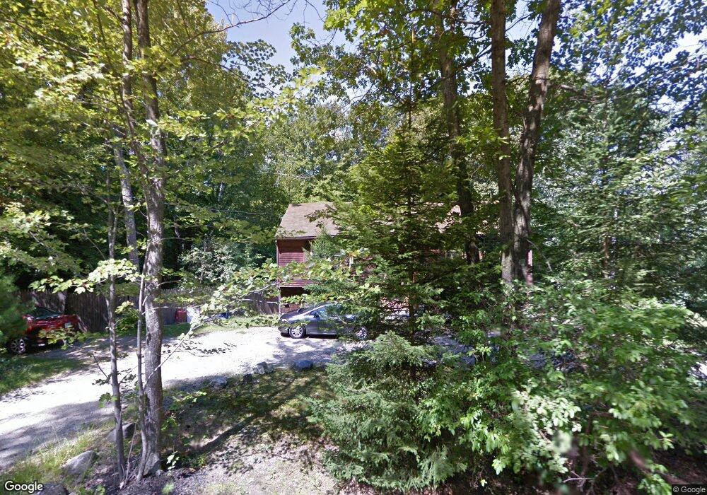
17 Roy Rd Hooksett, NH 03106
Estimated Value: $416,000 - $550,000
2
Beds
2
Baths
1,130
Sq Ft
$427/Sq Ft
Est. Value
About This Home
This home is located at 17 Roy Rd, Hooksett, NH 03106 and is currently estimated at $482,567, approximately $427 per square foot. 17 Roy Rd is a home located in Merrimack County with nearby schools including Fred C. Underhill School, Hooksett Memorial School, and David R. Cawley Middle School.
Ownership History
Date
Name
Owned For
Owner Type
Purchase Details
Closed on
Oct 11, 2019
Sold by
Gajowski Joshua and Gajowski Julie
Bought by
Conner Randolph C and Sharpe Faith L
Current Estimated Value
Home Financials for this Owner
Home Financials are based on the most recent Mortgage that was taken out on this home.
Original Mortgage
$284,747
Outstanding Balance
$253,706
Interest Rate
4.37%
Mortgage Type
FHA
Estimated Equity
$228,861
Purchase Details
Closed on
Dec 1, 1997
Sold by
Lencki Michael J and Lencki Larraine M
Bought by
Gajowski Joshua
Home Financials for this Owner
Home Financials are based on the most recent Mortgage that was taken out on this home.
Original Mortgage
$127,500
Interest Rate
7.26%
Create a Home Valuation Report for This Property
The Home Valuation Report is an in-depth analysis detailing your home's value as well as a comparison with similar homes in the area
Home Values in the Area
Average Home Value in this Area
Purchase History
| Date | Buyer | Sale Price | Title Company |
|---|---|---|---|
| Conner Randolph C | $290,000 | -- | |
| Gajowski Joshua | $127,500 | -- |
Source: Public Records
Mortgage History
| Date | Status | Borrower | Loan Amount |
|---|---|---|---|
| Open | Conner Randolph C | $284,747 | |
| Previous Owner | Gajowski Joshua | $127,500 |
Source: Public Records
Tax History
| Year | Tax Paid | Tax Assessment Tax Assessment Total Assessment is a certain percentage of the fair market value that is determined by local assessors to be the total taxable value of land and additions on the property. | Land | Improvement |
|---|---|---|---|---|
| 2024 | $4,910 | $289,500 | $141,700 | $147,800 |
| 2023 | $4,626 | $289,500 | $141,700 | $147,800 |
| 2022 | $5,544 | $230,500 | $96,500 | $134,000 |
| 2021 | $5,122 | $230,500 | $96,500 | $134,000 |
| 2020 | $5,189 | $230,500 | $96,500 | $134,000 |
| 2019 | $4,967 | $230,500 | $96,500 | $134,000 |
| 2018 | $6,769 | $230,500 | $96,500 | $134,000 |
| 2017 | $5,019 | $187,700 | $88,700 | $99,000 |
| 2016 | $0 | $187,700 | $88,700 | $99,000 |
| 2015 | $4,640 | $187,700 | $88,700 | $99,000 |
| 2014 | $4,661 | $187,700 | $88,700 | $99,000 |
| 2013 | $4,407 | $187,700 | $88,700 | $99,000 |
Source: Public Records
Map
Nearby Homes
- 29 S Bow Dunbarton Rd
- 500 E Dunbarton Rd
- 30 Ledgewood Dr
- 5 Cross Rd
- 315 Hackett Hill Rd
- 100 Allen Rd
- 3 Abbey Rd
- 245 W River Rd
- 163 Woodview Way Unit 2
- 63 Woodview Way
- 78 Woodview Way
- 2 Brandywine Dr
- 237 Woodview Way
- 264 Woodview Way
- 25 Forestedge Way Unit 25
- 55 Forestedge Way
- 1601 Hooksett Rd
- 8 Short Ave
- 7 Morgan Dr
- 1465 Hooksett Rd Unit 418
Your Personal Tour Guide
Ask me questions while you tour the home.