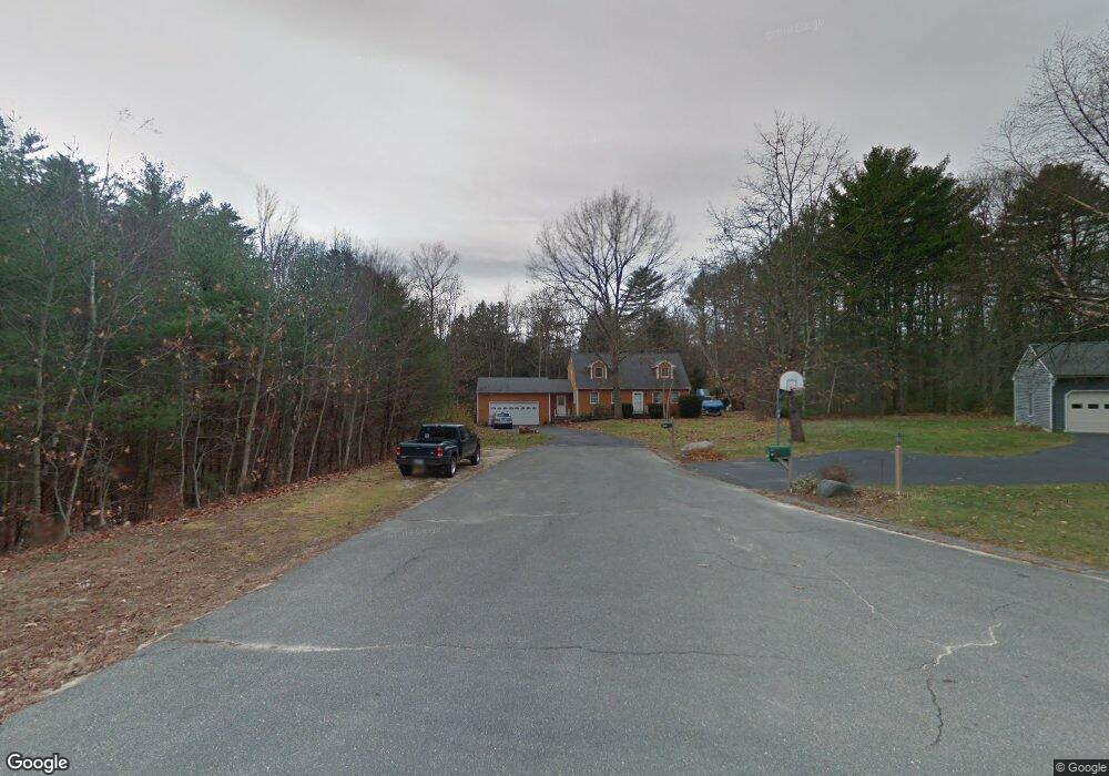
17 S Branch Dr Gorham, ME 04038
Estimated Value: $525,461 - $689,000
3
Beds
2
Baths
1,814
Sq Ft
$340/Sq Ft
Est. Value
About This Home
This home is located at 17 S Branch Dr, Gorham, ME 04038 and is currently estimated at $616,865, approximately $340 per square foot. 17 S Branch Dr is a home with nearby schools including Gorham High School.
Create a Home Valuation Report for This Property
The Home Valuation Report is an in-depth analysis detailing your home's value as well as a comparison with similar homes in the area
Home Values in the Area
Average Home Value in this Area
Tax History Compared to Growth
Tax History
| Year | Tax Paid | Tax Assessment Tax Assessment Total Assessment is a certain percentage of the fair market value that is determined by local assessors to be the total taxable value of land and additions on the property. | Land | Improvement |
|---|---|---|---|---|
| 2024 | $5,790 | $393,900 | $90,200 | $303,700 |
| 2023 | $5,416 | $393,900 | $90,200 | $303,700 |
| 2022 | $5,062 | $393,900 | $90,200 | $303,700 |
| 2021 | $4,214 | $217,200 | $69,500 | $147,700 |
| 2020 | $3,731 | $217,200 | $69,500 | $147,700 |
| 2019 | $4,116 | $217,200 | $69,500 | $147,700 |
| 2018 | $3,553 | $217,200 | $69,500 | $147,700 |
| 2017 | $3,403 | $217,200 | $69,500 | $147,700 |
| 2016 | $3,331 | $217,300 | $69,600 | $147,700 |
| 2015 | $3,542 | $217,300 | $69,600 | $147,700 |
| 2014 | $3,449 | $198,200 | $68,400 | $129,800 |
| 2013 | $3,429 | $198,200 | $68,400 | $129,800 |
Source: Public Records
Map
Nearby Homes
- 14 David Dr
- 1 Small Pond Rd
- 13 Mathew Way
- 15 Silver Brook Cir
- 213 Burnham Rd
- 00 Deering Dr
- 30 Faith Dr
- 7 Julia Dr
- 28 E Wind Dr
- 4 Meserve Farm Rd
- 445 Portland Rd
- 41 Mitchell Hill Rd
- Lot 72 Martell Way
- 8 Mitchell Hill Rd
- 9 Bonita Way
- 9 Burnham Rd
- 17 Boreal Dr
- 30 Boreal Dr
- 90 Green Acres Dr
- 91 C Broadturn Rd