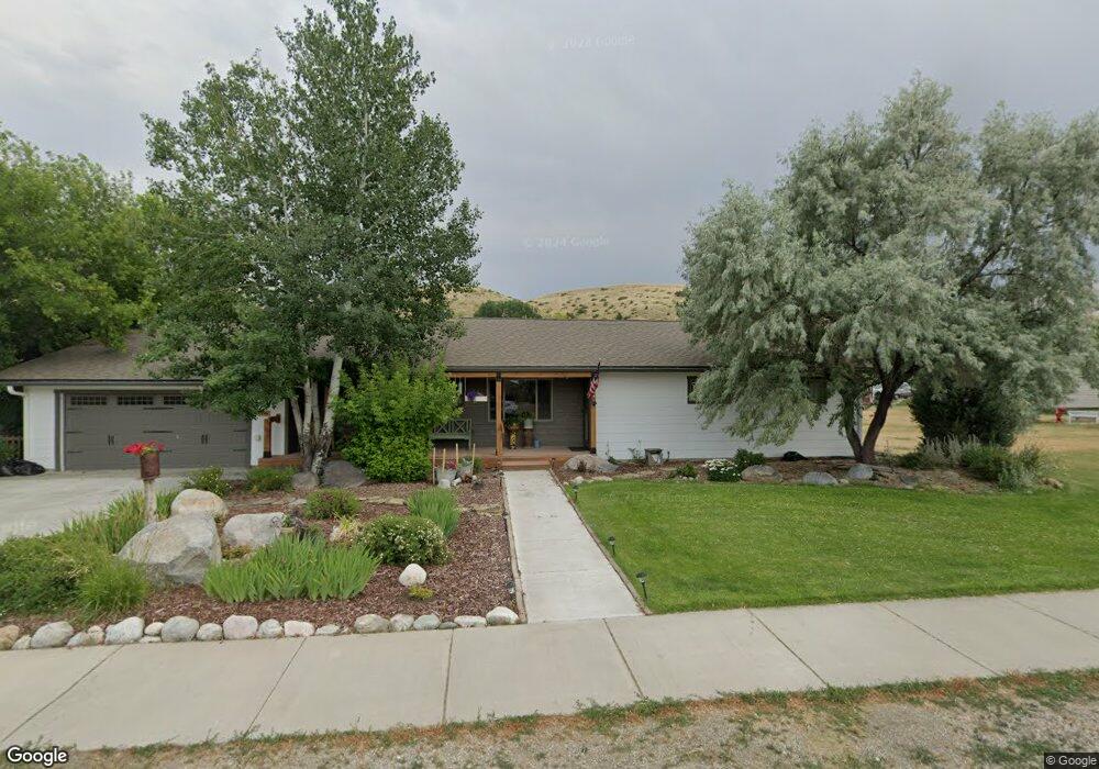
17 S Montana Ave Absarokee, MT 59001
Estimated Value: $363,000 - $382,000
3
Beds
3
Baths
2,072
Sq Ft
$180/Sq Ft
Est. Value
About This Home
This home is located at 17 S Montana Ave, Absarokee, MT 59001 and is currently estimated at $372,414, approximately $179 per square foot. 17 S Montana Ave is a home with nearby schools including Absarokee School, Absarokee Junior High School, and Absarokee High School.
Ownership History
Date
Name
Owned For
Owner Type
Purchase Details
Closed on
Apr 6, 2015
Bought by
William Lynn M and William Barbara Lynn
Current Estimated Value
Purchase Details
Closed on
Aug 23, 2013
Sold by
Rothwell Gerald R and Rothwell Cristella
Bought by
Baker James R
Purchase Details
Closed on
Aug 12, 2013
Sold by
Harris Thomas R and Harris Kendall R
Bought by
Nummerdor Roger R and Nummerdor Joan M
Purchase Details
Closed on
Nov 10, 2008
Sold by
Heinle David E and Heinle Bobbi J
Bought by
Emerald Keith M
Home Financials for this Owner
Home Financials are based on the most recent Mortgage that was taken out on this home.
Original Mortgage
$121,341
Interest Rate
6.09%
Purchase Details
Closed on
Aug 15, 2006
Sold by
Erlenbush Gene C and Erlenbush Linda G
Bought by
Gaustad Larry C and Gaustad Deanne K
Purchase Details
Closed on
Sep 21, 2005
Sold by
Pelton Ethel H
Bought by
Pelton Ethel H and Ethel H Pelton Survivor'S Trust
Create a Home Valuation Report for This Property
The Home Valuation Report is an in-depth analysis detailing your home's value as well as a comparison with similar homes in the area
Home Values in the Area
Average Home Value in this Area
Purchase History
| Date | Buyer | Sale Price | Title Company |
|---|---|---|---|
| William Lynn M | -- | -- | |
| Baker James R | -- | -- | |
| Nummerdor Roger R | -- | -- | |
| Emerald Keith M | -- | -- | |
| Gaustad Larry C | -- | -- | |
| Pelton Ethel H | -- | -- |
Source: Public Records
Mortgage History
| Date | Status | Borrower | Loan Amount |
|---|---|---|---|
| Previous Owner | Emerald Keith M | $121,341 |
Source: Public Records
Tax History Compared to Growth
Tax History
| Year | Tax Paid | Tax Assessment Tax Assessment Total Assessment is a certain percentage of the fair market value that is determined by local assessors to be the total taxable value of land and additions on the property. | Land | Improvement |
|---|---|---|---|---|
| 2025 | $2,092 | $440,086 | $0 | $0 |
| 2024 | $2,354 | $311,100 | $0 | $0 |
| 2023 | $2,351 | $311,100 | $0 | $0 |
| 2022 | $2,280 | $264,300 | $0 | $0 |
| 2021 | $1,568 | $264,300 | $0 | $0 |
| 2020 | $1,781 | $232,700 | $0 | $0 |
| 2019 | $1,813 | $232,700 | $0 | $0 |
| 2018 | $1,851 | $221,887 | $0 | $0 |
| 2017 | $1,679 | $194,987 | $0 | $0 |
| 2016 | $1,320 | $165,200 | $0 | $0 |
| 2015 | $1,028 | $165,200 | $0 | $0 |
| 2014 | $769 | $65,436 | $0 | $0 |
Source: Public Records
Map
Nearby Homes
- 10 S Woodard Ave
- 12 Avis St
- 221 W School St
- A Johnson Dr Unit A
- 2994 Highway 78
- 20 Crow Child Trail
- 2825 & 2830 Highway 78 S
- 47 Lower Hawk Valley Rd
- 91 Upper Hawk Valley Rd
- 37 Barham Rd
- 79 Meyers Rd
- 79 Myers Rd
- Lot 56 Hearts & Diamonds 2
- 564a Countryman Creek Rd
- 26 Yates Rd
- TBD Brumfield RD Brumfield Rd
- 26 O'Dare Dr
- 27 Kestel Trail
- LOT 215 Coyote Pass
- 51 Haystack Coulee Rd
- 13 S Montana Ave
- 21 S Montana Ave
- 18 S Montana Ave
- 9 S Montana Ave
- 14 S Montana Ave
- 10 S Montana Ave
- 120A E Church St
- 5 S Montana Ave
- 101 S Montana Ave
- 21 S Woodard Ave
- 19 S Woodard Ave
- 103 E Church St
- 15 S Woodard Ave
- 1 N Montana Ave
- 11 S Woodard Ave
- 9 S Woodard Ave
- NSN W Grove St
- NHN Mt Highway 78
- 106 S Weast Ave
- 107 E Church St