17 Schofield Rd Dennis, MA 02638
Dennis Village NeighborhoodEstimated Value: $1,244,000 - $2,010,000
2
Beds
3
Baths
1,710
Sq Ft
$1,009/Sq Ft
Est. Value
About This Home
This home is located at 17 Schofield Rd, Dennis, MA 02638 and is currently estimated at $1,724,576, approximately $1,008 per square foot. 17 Schofield Rd is a home located in Barnstable County with nearby schools including Dennis-Yarmouth Regional High School.
Ownership History
Date
Name
Owned For
Owner Type
Purchase Details
Closed on
Oct 25, 2016
Sold by
Frank & Phillip Rt 2
Bought by
Sunrise T
Current Estimated Value
Home Financials for this Owner
Home Financials are based on the most recent Mortgage that was taken out on this home.
Original Mortgage
$670,000
Outstanding Balance
$530,651
Interest Rate
3%
Mortgage Type
Adjustable Rate Mortgage/ARM
Estimated Equity
$1,193,925
Purchase Details
Closed on
Jun 15, 2015
Sold by
Frank & Phillip Rt
Bought by
Frank & Phillip Rt 2
Purchase Details
Closed on
May 4, 1998
Sold by
Hathaway Charitable T
Bought by
Frank & Phillip Rt
Home Financials for this Owner
Home Financials are based on the most recent Mortgage that was taken out on this home.
Original Mortgage
$126,000
Interest Rate
7.04%
Mortgage Type
Purchase Money Mortgage
Create a Home Valuation Report for This Property
The Home Valuation Report is an in-depth analysis detailing your home's value as well as a comparison with similar homes in the area
Home Values in the Area
Average Home Value in this Area
Purchase History
| Date | Buyer | Sale Price | Title Company |
|---|---|---|---|
| Sunrise T | -- | -- | |
| Frank & Phillip Rt 2 | -- | -- | |
| Frank & Phillip Rt | $140,000 | -- |
Source: Public Records
Mortgage History
| Date | Status | Borrower | Loan Amount |
|---|---|---|---|
| Open | Sunrise T | $670,000 | |
| Previous Owner | Frank & Phillip Rt | $126,000 |
Source: Public Records
Tax History
| Year | Tax Paid | Tax Assessment Tax Assessment Total Assessment is a certain percentage of the fair market value that is determined by local assessors to be the total taxable value of land and additions on the property. | Land | Improvement |
|---|---|---|---|---|
| 2025 | $6,765 | $1,562,400 | $967,600 | $594,800 |
| 2024 | $6,405 | $1,459,100 | $830,900 | $628,200 |
| 2023 | $6,223 | $1,332,500 | $755,300 | $577,200 |
| 2022 | $6,231 | $1,112,600 | $680,400 | $432,200 |
| 2021 | $6,278 | $1,041,200 | $667,000 | $374,200 |
| 2020 | $6,129 | $1,004,800 | $667,000 | $337,800 |
| 2019 | $6,089 | $986,900 | $654,000 | $332,900 |
| 2018 | $4,832 | $762,200 | $478,100 | $284,100 |
| 2017 | $3,710 | $603,300 | $528,000 | $75,300 |
| 2016 | $3,671 | $562,100 | $498,100 | $64,000 |
| 2015 | $3,119 | $487,400 | $423,400 | $64,000 |
| 2014 | -- | $467,400 | $403,400 | $64,000 |
Source: Public Records
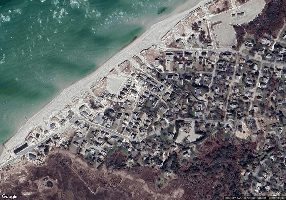
Map
Nearby Homes
- 7 Collins Ave
- 49 Rodoalph's Way
- 4 Spadoni Rd
- 4 Spadoni Way
- 94 Horsefoot Path
- 69 Horsefoot Path
- 12 Dunes View Rd
- 156 Shore Dr
- 96 Shore Dr
- 74 Robbins Cir
- 37 Johnson Ln
- 73 Pilgrim Rd
- 19 Whig St
- 25 Whig St
- 59 Hope Ln
- 19 Deacon Joseph Ln
- 480 Main St
- 645 Main St Back Lot
- 46 Forest Gate Unit 46
- 15 Signal Hill Dr
Your Personal Tour Guide
Ask me questions while you tour the home.