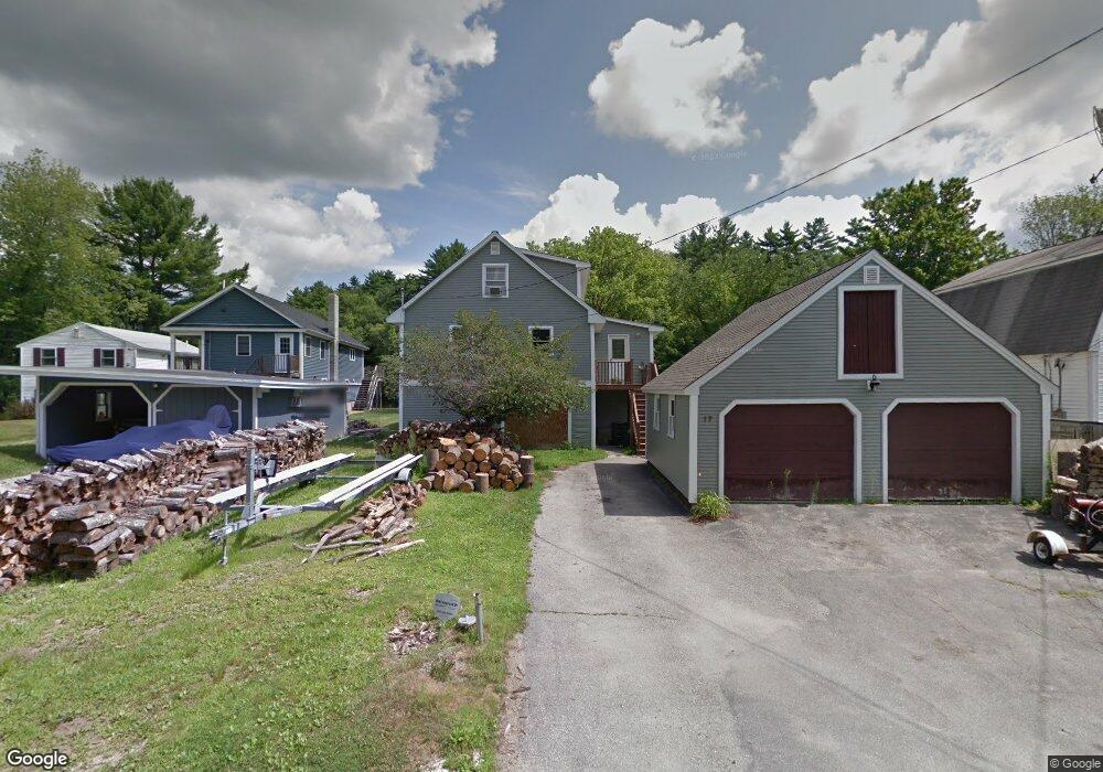
17 Sonny Ave Goffstown, NH 03045
Estimated Value: $505,000 - $639,000
3
Beds
2
Baths
2,082
Sq Ft
$268/Sq Ft
Est. Value
About This Home
This home is located at 17 Sonny Ave, Goffstown, NH 03045 and is currently estimated at $558,025, approximately $268 per square foot. 17 Sonny Ave is a home with nearby schools including Mountain View Middle School, Goffstown High School, and Polaris Charter School.
Ownership History
Date
Name
Owned For
Owner Type
Purchase Details
Closed on
Jul 26, 2024
Sold by
Larochelle Lisa M
Bought by
Nadeau Christopher L
Current Estimated Value
Purchase Details
Closed on
Sep 8, 2020
Sold by
Nadeau Christopher L
Bought by
Nadeau Christopher L and Nadeau Vanessa
Home Financials for this Owner
Home Financials are based on the most recent Mortgage that was taken out on this home.
Original Mortgage
$175,500
Interest Rate
2.9%
Mortgage Type
New Conventional
Purchase Details
Closed on
May 18, 2004
Sold by
Sarlo Daniel J
Bought by
Nadeau Christopher L
Purchase Details
Closed on
Apr 1, 1998
Sold by
Wilkins Bobby R and Wilkins Linda T
Bought by
Sarlo Daniel J
Create a Home Valuation Report for This Property
The Home Valuation Report is an in-depth analysis detailing your home's value as well as a comparison with similar homes in the area
Home Values in the Area
Average Home Value in this Area
Purchase History
| Date | Buyer | Sale Price | Title Company |
|---|---|---|---|
| Nadeau Christopher L | $255,000 | None Available | |
| Nadeau Christopher L | $255,000 | None Available | |
| Nadeau Christopher L | -- | None Available | |
| Nadeau Christopher L | -- | None Available | |
| Nadeau Christopher L | -- | None Available | |
| Nadeau Christopher L | $212,500 | -- | |
| Sarlo Daniel J | $151,000 | -- | |
| Nadeau Christopher L | $212,500 | -- | |
| Sarlo Daniel J | $151,000 | -- |
Source: Public Records
Mortgage History
| Date | Status | Borrower | Loan Amount |
|---|---|---|---|
| Previous Owner | Nadeau Christopher L | $175,500 | |
| Previous Owner | Sarlo Daniel J | $26,000 | |
| Previous Owner | Sarlo Daniel J | $202,895 |
Source: Public Records
Tax History Compared to Growth
Tax History
| Year | Tax Paid | Tax Assessment Tax Assessment Total Assessment is a certain percentage of the fair market value that is determined by local assessors to be the total taxable value of land and additions on the property. | Land | Improvement |
|---|---|---|---|---|
| 2024 | $9,400 | $459,900 | $205,300 | $254,600 |
| 2023 | $9,190 | $487,300 | $216,200 | $271,100 |
| 2022 | $8,069 | $306,700 | $125,400 | $181,300 |
| 2021 | $7,612 | $306,700 | $125,400 | $181,300 |
| 2020 | $7,612 | $306,700 | $125,400 | $181,300 |
| 2019 | $7,539 | $306,700 | $125,400 | $181,300 |
| 2018 | $5,536 | $306,700 | $125,400 | $181,300 |
| 2017 | $7,096 | $258,800 | $102,900 | $155,900 |
| 2016 | $6,840 | $258,800 | $102,900 | $155,900 |
| 2015 | $7,130 | $253,200 | $99,400 | $153,800 |
| 2014 | $6,836 | $253,200 | $99,400 | $153,800 |
Source: Public Records
Map
Nearby Homes
- 37 Chatel Rd
- 11-1 Chatel Rd
- 10 Conestoga Ct Unit 10A
- 3 Arabian Ct Unit A
- 39 Bay St
- 43 Bay St
- 4 Arabian Ct Unit B
- 2B Dearborn Cir
- 62 Roger Rd
- 1B Dearborn Cir
- 102 Partridge Ln
- 21 Katherine St
- 46 Moose Club Park Rd
- 2 Shore Dr
- 36 Durango Dr
- 0 Mast Rd Unit 49 5054665
- 1306 Goffstown Rd Unit 9
- 2 Larch St Unit 22
- 15 Leslie Dr
- 11 Oakwood Cir Unit 9