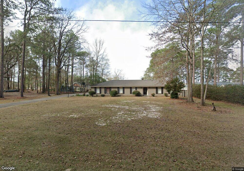
17 South Point Hattiesburg, MS 39402
Estimated Value: $284,078 - $347,000
--
Bed
--
Bath
2,003
Sq Ft
$158/Sq Ft
Est. Value
About This Home
This home is located at 17 South Point, Hattiesburg, MS 39402 and is currently estimated at $316,270, approximately $157 per square foot. 17 South Point is a home located in Lamar County with nearby schools including Oak Grove Elementary School, Bellevue Elementary School, and Oak Grove Middle School.
Ownership History
Date
Name
Owned For
Owner Type
Purchase Details
Closed on
Mar 14, 2012
Sold by
Harris Pamela G and Snell Joseph
Bought by
Lindsey Billy J and Lindsey Elizabeth A
Current Estimated Value
Home Financials for this Owner
Home Financials are based on the most recent Mortgage that was taken out on this home.
Original Mortgage
$176,000
Outstanding Balance
$120,578
Interest Rate
3.89%
Estimated Equity
$195,692
Create a Home Valuation Report for This Property
The Home Valuation Report is an in-depth analysis detailing your home's value as well as a comparison with similar homes in the area
Home Values in the Area
Average Home Value in this Area
Purchase History
| Date | Buyer | Sale Price | Title Company |
|---|---|---|---|
| Lindsey Billy J | -- | -- |
Source: Public Records
Mortgage History
| Date | Status | Borrower | Loan Amount |
|---|---|---|---|
| Open | Lindsey Billy J | $176,000 |
Source: Public Records
Tax History Compared to Growth
Tax History
| Year | Tax Paid | Tax Assessment Tax Assessment Total Assessment is a certain percentage of the fair market value that is determined by local assessors to be the total taxable value of land and additions on the property. | Land | Improvement |
|---|---|---|---|---|
| 2025 | $2,557 | $20,346 | $0 | $0 |
| 2024 | $2,557 | $20,346 | $0 | $0 |
| 2023 | $2,557 | $20,346 | $0 | $0 |
| 2022 | $2,351 | $18,700 | $0 | $0 |
| 2021 | $2,322 | $18,700 | $0 | $0 |
| 2020 | $2,322 | $18,700 | $0 | $0 |
| 2019 | $2,322 | $18,700 | $0 | $0 |
| 2018 | $2,168 | $17,464 | $0 | $0 |
| 2017 | $2,184 | $17,591 | $0 | $0 |
| 2015 | $2,216 | $17,846 | $0 | $0 |
| 2014 | $3,299 | $26,573 | $0 | $0 |
| 2013 | -- | $26,552 | $0 | $0 |
Source: Public Records
Map
Nearby Homes
- 429 Buccaneer Dr
- 59 Serene Meadows Dr
- 49 Parson's Creek Rd
- 17 Snug Harbor
- 378 Buccaneer Dr
- 85 W Lake Rd
- 70 Poplar Dr
- 146 Cole Rd
- Lot 82 Parsons Creek
- 0 Cole Rd
- 10 Poplar Dr
- 5 Magellan Rd
- 16 Woodside
- Lot 17 Tallulah Ridge
- 24 Cove Ln
- 30 Ridgeside
- 2256 Old Highway 24
- 50 Leaf Ln
- 0 Magellan Rd
- 23 Steerforth Dr
- 21 South Point
- 32 S Barnes Field Dr
- 36 S Barnes Field Dr
- 0 South Point Unit 54501
- 0 South Point Unit 116018
- 0 South Point
- 106 Balboa Dr
- 27 South Point
- 999 Balboa Dr
- 8 South Point
- 33 South Point
- 33 South Point
- 22 South Point
- 100 Balboa Dr
- 100 Balboa Dr
- 119 Balboa Dr
- 35 South Point
- 36 South Point
- 105 Balboa Dr
- 130 Balboa Dr