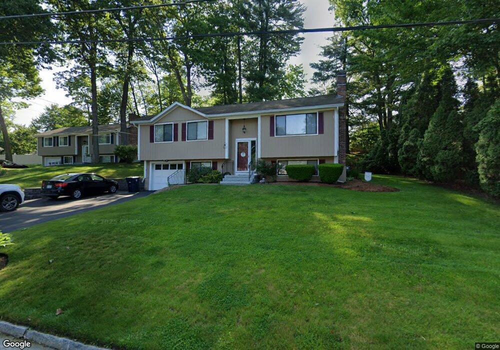
17 Stanley Ln Nashua, NH 03062
Southwest Nashua NeighborhoodEstimated Value: $489,000 - $512,000
3
Beds
2
Baths
1,132
Sq Ft
$442/Sq Ft
Est. Value
About This Home
This home is located at 17 Stanley Ln, Nashua, NH 03062 and is currently estimated at $500,200, approximately $441 per square foot. 17 Stanley Ln is a home located in Hillsborough County with nearby schools including Bicentennial Elementary School, Fairgrounds Middle School, and Nashua High School South.
Ownership History
Date
Name
Owned For
Owner Type
Purchase Details
Closed on
Aug 10, 2001
Sold by
Fowler Gary W
Bought by
Woods James A
Current Estimated Value
Home Financials for this Owner
Home Financials are based on the most recent Mortgage that was taken out on this home.
Original Mortgage
$80,000
Interest Rate
7.1%
Mortgage Type
Purchase Money Mortgage
Purchase Details
Closed on
Jul 28, 1997
Sold by
Chen Shiun Shuey
Bought by
Fowler Gary W
Home Financials for this Owner
Home Financials are based on the most recent Mortgage that was taken out on this home.
Original Mortgage
$88,000
Interest Rate
7.7%
Mortgage Type
Purchase Money Mortgage
Create a Home Valuation Report for This Property
The Home Valuation Report is an in-depth analysis detailing your home's value as well as a comparison with similar homes in the area
Home Values in the Area
Average Home Value in this Area
Purchase History
| Date | Buyer | Sale Price | Title Company |
|---|---|---|---|
| Woods James A | $100,000 | -- | |
| Fowler Gary W | $110,000 | -- |
Source: Public Records
Mortgage History
| Date | Status | Borrower | Loan Amount |
|---|---|---|---|
| Open | Fowler Gary W | $60,000 | |
| Open | Fowler Gary W | $160,000 | |
| Closed | Fowler Gary W | $80,000 | |
| Previous Owner | Fowler Gary W | $88,000 |
Source: Public Records
Tax History Compared to Growth
Tax History
| Year | Tax Paid | Tax Assessment Tax Assessment Total Assessment is a certain percentage of the fair market value that is determined by local assessors to be the total taxable value of land and additions on the property. | Land | Improvement |
|---|---|---|---|---|
| 2024 | $7,330 | $461,000 | $161,900 | $299,100 |
| 2023 | $6,978 | $382,800 | $129,500 | $253,300 |
| 2022 | $6,917 | $382,800 | $129,500 | $253,300 |
| 2021 | $6,081 | $261,900 | $86,300 | $175,600 |
| 2020 | $5,922 | $261,900 | $86,300 | $175,600 |
| 2019 | $5,699 | $261,900 | $86,300 | $175,600 |
| 2018 | $5,555 | $261,900 | $86,300 | $175,600 |
| 2017 | $5,707 | $221,300 | $73,900 | $147,400 |
| 2016 | $5,548 | $221,300 | $73,900 | $147,400 |
| 2015 | $5,428 | $221,300 | $73,900 | $147,400 |
| 2014 | $5,322 | $221,300 | $73,900 | $147,400 |
Source: Public Records
Map
Nearby Homes