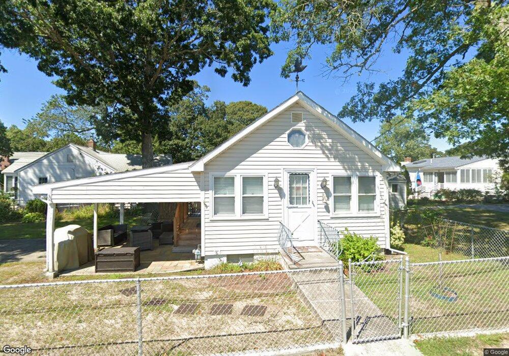
17 Trinity Ln Wareham, MA 02571
Estimated Value: $622,000 - $674,000
7
Beds
3
Baths
2,339
Sq Ft
$280/Sq Ft
Est. Value
About This Home
This home is located at 17 Trinity Ln, Wareham, MA 02571 and is currently estimated at $654,000, approximately $279 per square foot. 17 Trinity Ln is a home.
Ownership History
Date
Name
Owned For
Owner Type
Purchase Details
Closed on
Dec 22, 2025
Sold by
East Boston Mgmt & Dev Ll
Bought by
South Shore Apt Llc
Current Estimated Value
Purchase Details
Closed on
Apr 22, 2021
Sold by
Onset Village Rt
Bought by
East Boston Mgmt & Dev Llc
Purchase Details
Closed on
Jan 17, 1997
Sold by
Independence One Mtg
Bought by
Cubellis Lenord
Purchase Details
Closed on
Dec 22, 1992
Sold by
Strangis George E
Bought by
Independence One Mtg
Create a Home Valuation Report for This Property
The Home Valuation Report is an in-depth analysis detailing your home's value as well as a comparison with similar homes in the area
Home Values in the Area
Average Home Value in this Area
Purchase History
| Date | Buyer | Sale Price | Title Company |
|---|---|---|---|
| South Shore Apt Llc | -- | -- | |
| East Boston Mgmt & Dev Llc | $1,410,000 | None Available | |
| Cubellis Lenord | $27,000 | -- | |
| Cubellis Lenord | $27,000 | -- | |
| Independence One Mtg | $80,500 | -- | |
| Independence One Mtg | $80,500 | -- |
Source: Public Records
Mortgage History
| Date | Status | Borrower | Loan Amount |
|---|---|---|---|
| Previous Owner | Independence One Mtg | $800,000 |
Source: Public Records
Tax History
| Year | Tax Paid | Tax Assessment Tax Assessment Total Assessment is a certain percentage of the fair market value that is determined by local assessors to be the total taxable value of land and additions on the property. | Land | Improvement |
|---|---|---|---|---|
| 2025 | $4,299 | $391,500 | $94,900 | $296,600 |
| 2024 | $4,419 | $378,300 | $70,300 | $308,000 |
| 2023 | $4,240 | $311,300 | $63,900 | $247,400 |
| 2022 | $4,240 | $311,300 | $63,900 | $247,400 |
| 2021 | $3,357 | $239,800 | $63,900 | $175,900 |
| 2020 | $3,288 | $239,800 | $63,900 | $175,900 |
| 2019 | $3,044 | $224,500 | $57,100 | $167,400 |
| 2018 | $2,941 | $209,500 | $57,100 | $152,400 |
| 2017 | $2,953 | $211,200 | $58,000 | $153,200 |
| 2016 | $2,780 | $197,300 | $55,300 | $142,000 |
| 2015 | $2,703 | $197,300 | $55,300 | $142,000 |
| 2014 | $2,908 | $218,800 | $52,600 | $166,200 |
Source: Public Records
Map
Nearby Homes
- 38 Amos Way
- 26 Highland Ave
- 12 Beacon St Unit 84
- 10 Beacon St Unit 83
- 10 East Blvd
- 10 East Blvd
- 6 Beacon St Unit 79
- 35 Locust St
- 35 Locust St
- 3 Carleton St Unit 3
- 32 Carleton St Unit 32
- 276a Onset Ave
- 0 Broad St Off Unit 72362523
- Lot 108 21st St
- 4 22nd St
- 11 22nd St
- 36B Starboard Dr Unit 36E
- 36B Starboard Dr Unit 36G
- 36B Starboard Dr Unit 36C
- 36B Starboard Dr Unit 36A
Your Personal Tour Guide
Ask me questions while you tour the home.