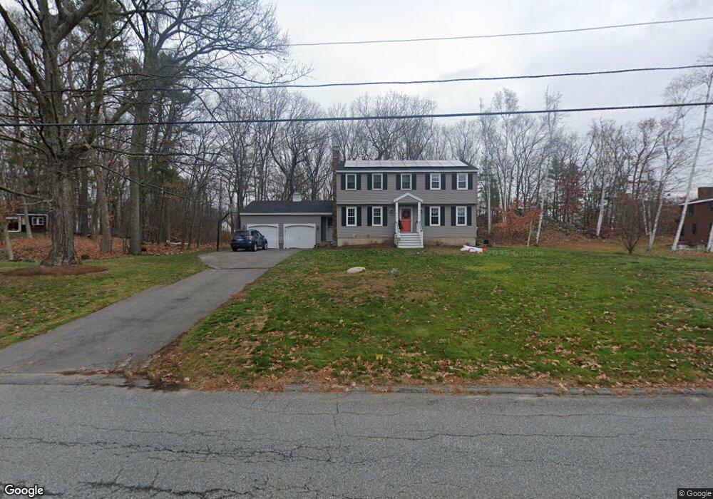
17 Trout Brook Rd Dracut, MA 01826
Estimated Value: $695,735 - $742,000
4
Beds
3
Baths
1,800
Sq Ft
$404/Sq Ft
Est. Value
About This Home
This home is located at 17 Trout Brook Rd, Dracut, MA 01826 and is currently estimated at $727,684, approximately $404 per square foot. 17 Trout Brook Rd is a home located in Middlesex County with nearby schools including Joseph A. Campbell Elementary School, Richardson Middle School, and Dracut Senior High School.
Ownership History
Date
Name
Owned For
Owner Type
Purchase Details
Closed on
Aug 22, 2011
Sold by
Duquette Jeffrey P and Duquette Mary E
Bought by
Cotter Kaitlin E and Nickerson Peter J
Current Estimated Value
Home Financials for this Owner
Home Financials are based on the most recent Mortgage that was taken out on this home.
Original Mortgage
$251,000
Outstanding Balance
$174,194
Interest Rate
4.62%
Mortgage Type
Purchase Money Mortgage
Estimated Equity
$553,490
Purchase Details
Closed on
Aug 2, 2000
Sold by
Gagnon James C and Gagnon Sheila M
Bought by
Duquette Jeffrey P and Duquette Mary E
Home Financials for this Owner
Home Financials are based on the most recent Mortgage that was taken out on this home.
Original Mortgage
$242,910
Interest Rate
8.1%
Mortgage Type
Purchase Money Mortgage
Create a Home Valuation Report for This Property
The Home Valuation Report is an in-depth analysis detailing your home's value as well as a comparison with similar homes in the area
Home Values in the Area
Average Home Value in this Area
Purchase History
| Date | Buyer | Sale Price | Title Company |
|---|---|---|---|
| Cotter Kaitlin E | $314,000 | -- | |
| Duquette Jeffrey P | $269,900 | -- |
Source: Public Records
Mortgage History
| Date | Status | Borrower | Loan Amount |
|---|---|---|---|
| Open | Cotter Kaitlin E | $251,000 | |
| Previous Owner | Duquette Jeffrey P | $256,400 | |
| Previous Owner | Duquette Jeffrey P | $242,910 | |
| Previous Owner | Duquette Jeffrey P | $50,000 |
Source: Public Records
Tax History Compared to Growth
Tax History
| Year | Tax Paid | Tax Assessment Tax Assessment Total Assessment is a certain percentage of the fair market value that is determined by local assessors to be the total taxable value of land and additions on the property. | Land | Improvement |
|---|---|---|---|---|
| 2025 | $6,439 | $636,300 | $255,100 | $381,200 |
| 2024 | $6,260 | $599,000 | $243,100 | $355,900 |
| 2023 | $6,056 | $523,000 | $211,500 | $311,500 |
| 2022 | $5,892 | $479,400 | $192,400 | $287,000 |
| 2021 | $12,776 | $436,400 | $174,700 | $261,700 |
| 2020 | $5,495 | $411,600 | $169,400 | $242,200 |
| 2019 | $5,250 | $381,800 | $161,300 | $220,500 |
| 2018 | $11,678 | $372,100 | $161,300 | $210,800 |
| 2017 | $5,333 | $372,100 | $161,300 | $210,800 |
| 2016 | $5,290 | $356,500 | $162,100 | $194,400 |
| 2015 | $5,112 | $342,400 | $162,100 | $180,300 |
| 2014 | $4,614 | $318,400 | $162,100 | $156,300 |
Source: Public Records
Map
Nearby Homes
- 931 Methuen St Unit 6
- 820 Methuen St Unit 820
- 315 Broadway Rd Unit 7
- 785 Broadway Rd
- 4 Hazelwood Ave Unit 12
- 7 Wildwood St Unit A24
- 31 Varnum Ave
- 35 Thissell Ave
- 51 Bellevue Ave
- 675 Robbins Ave Unit 1
- 650 Robbins Ave Unit 33
- 700 Robbins Ave Unit 6
- 173 Brook St
- 14 Mount Pleasant Ave
- 12 Hayfield Rd
- 821 Merrimack Ave
- 11 View St
- 173 Merrimack Meadows Ln Unit 162
- 127 Thornton Ave
- 78 Merrimack Meadows Ln Unit 78
- 140 Cranberry Rd
- 27 Trout Brook Rd
- 24 Trout Brook Rd
- 14 Trout Brook Rd
- 190 Pelczar Rd
- 160 Cranberry Rd
- 35 Trout Brook Rd
- 139 Cranberry Rd Unit 139
- 149 Cranberry Rd
- 34 Trout Brook Rd
- 180 Pelczar Rd
- 7 Bayberry Rd
- 118 Cranberry Rd
- 200 Pelczar Rd
- 22 Chestnut Rd
- 119 Cranberry Rd
- 44 Chestnut Rd
- 44 Trout Brook Rd
- 160 Pelczar Rd
- 171 Pelczar Rd