17 Wanosha Trail Campton, NH 03223
Estimated Value: $420,000 - $553,000
2
Beds
2
Baths
1,491
Sq Ft
$323/Sq Ft
Est. Value
About This Home
This home is located at 17 Wanosha Trail, Campton, NH 03223 and is currently estimated at $481,556, approximately $322 per square foot. 17 Wanosha Trail is a home with nearby schools including Campton Elementary School and Plymouth Regional High School.
Ownership History
Date
Name
Owned For
Owner Type
Purchase Details
Closed on
Oct 26, 2022
Sold by
Flynn Lorna
Bought by
Wanosha Llc
Current Estimated Value
Purchase Details
Closed on
Apr 6, 2007
Sold by
Lamothe Andre L and Lamothe Shirlie B
Bought by
Flynn William and Flynn Lorna
Home Financials for this Owner
Home Financials are based on the most recent Mortgage that was taken out on this home.
Original Mortgage
$159,000
Interest Rate
6.25%
Mortgage Type
Purchase Money Mortgage
Create a Home Valuation Report for This Property
The Home Valuation Report is an in-depth analysis detailing your home's value as well as a comparison with similar homes in the area
Home Values in the Area
Average Home Value in this Area
Purchase History
| Date | Buyer | Sale Price | Title Company |
|---|---|---|---|
| Wanosha Llc | $419,000 | None Available | |
| Flynn William | $222,500 | -- |
Source: Public Records
Mortgage History
| Date | Status | Borrower | Loan Amount |
|---|---|---|---|
| Previous Owner | Flynn William | $140,000 | |
| Previous Owner | Flynn William | $159,000 |
Source: Public Records
Tax History Compared to Growth
Tax History
| Year | Tax Paid | Tax Assessment Tax Assessment Total Assessment is a certain percentage of the fair market value that is determined by local assessors to be the total taxable value of land and additions on the property. | Land | Improvement |
|---|---|---|---|---|
| 2024 | $4,168 | $366,600 | $114,600 | $252,000 |
| 2023 | $3,940 | $189,800 | $58,100 | $131,700 |
| 2022 | $3,798 | $189,800 | $58,100 | $131,700 |
| 2021 | $3,967 | $191,000 | $58,100 | $132,900 |
| 2020 | $3,873 | $192,600 | $58,100 | $134,500 |
| 2019 | $3,118 | $192,600 | $58,100 | $134,500 |
| 2018 | $57 | $156,300 | $42,000 | $114,300 |
| 2017 | $3,054 | $156,300 | $42,000 | $114,300 |
| 2016 | $102 | $156,300 | $42,000 | $114,300 |
| 2015 | $2,993 | $156,700 | $42,000 | $114,700 |
| 2014 | $3,001 | $159,700 | $42,000 | $117,700 |
| 2013 | $3,307 | $180,300 | $37,800 | $142,500 |
Source: Public Records
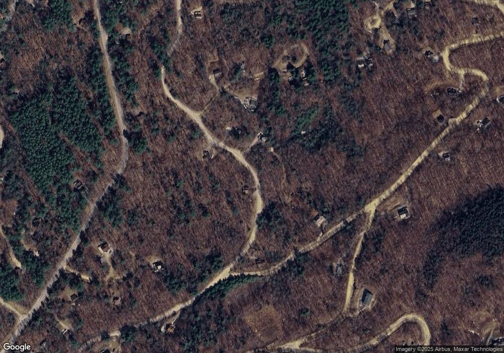
Map
Nearby Homes
- 00 Summit Dr Unit 24
- 136 Summit Dr
- 88 Donovan Farm Rd
- 0 Taylor Dr Unit 4
- 5-16-19 Boulder Ct
- 18 Condo Rd Unit 1
- 1 Condo Rd Unit 1
- 37 Pegwood Hill Rd
- 14 Parker Rd Unit C-2
- 36 Briarcliff Cir
- Lot 1 Pegwood Rd
- 129 Hodgeman Hill Rd
- 103 Reservoir Rd
- 0 Abnaki Trail Unit 7
- 0 Checkerberry Ridge Rd Unit 142
- 11 Weeping Birches Ln
- 0 Richardson Trail Unit 9 5058146
- 34 Liberty Ln Unit 2
- Lot 1 Welch View Dr
- 182 Pinnacle Rd Unit 6
- 43 Wanosha Trail
- 57 Wanosha Trail
- 37 Wanosha Trail
- 27 Wanosha Trail
- 36 Wanosha Trail
- 36 Wanosha Trail
- 21 Wanosha Trail
- 0 Wanosha Trail Unit 5-15-3
- 5-15-3 Wanosha Trail
- 56 Wanosha Trail
- 8 Chapman Cir
- 3 Scribner Dr
- 7 Chapman Cir
- 500 Winterbrook Rd
- 11 Wanosha Trail
- 12 Wanosha Trail
- 13 Chapman Cir
- 26 Chapman Cir
- 10 Wanosha Trail
- 30 Chapman Cir