17 Wapping Rd Kingston, MA 02364
Estimated Value: $697,000 - $748,000
3
Beds
2
Baths
2,282
Sq Ft
$314/Sq Ft
Est. Value
About This Home
This home is located at 17 Wapping Rd, Kingston, MA 02364 and is currently estimated at $717,560, approximately $314 per square foot. 17 Wapping Rd is a home with nearby schools including Kingston Elementary School, Silver Lake Regional High School, and Kingston Intermediate School.
Ownership History
Date
Name
Owned For
Owner Type
Purchase Details
Closed on
Mar 24, 2006
Sold by
Macfarlane Rt
Bought by
Macfarlane Dorothy Jean
Current Estimated Value
Create a Home Valuation Report for This Property
The Home Valuation Report is an in-depth analysis detailing your home's value as well as a comparison with similar homes in the area
Home Values in the Area
Average Home Value in this Area
Purchase History
| Date | Buyer | Sale Price | Title Company |
|---|---|---|---|
| Macfarlane Dorothy Jean | -- | -- |
Source: Public Records
Mortgage History
| Date | Status | Borrower | Loan Amount |
|---|---|---|---|
| Open | Macfarlane Dorothy Jean | $25,000 | |
| Previous Owner | Macfarlane Dorothy Jean | $50,000 |
Source: Public Records
Tax History Compared to Growth
Tax History
| Year | Tax Paid | Tax Assessment Tax Assessment Total Assessment is a certain percentage of the fair market value that is determined by local assessors to be the total taxable value of land and additions on the property. | Land | Improvement |
|---|---|---|---|---|
| 2025 | $7,951 | $613,000 | $229,400 | $383,600 |
| 2024 | $7,017 | $552,100 | $200,500 | $351,600 |
| 2023 | $6,816 | $510,200 | $200,500 | $309,700 |
| 2022 | $6,681 | $458,200 | $183,000 | $275,200 |
| 2021 | $5,877 | $417,000 | $183,000 | $234,000 |
| 2020 | $6,670 | $409,700 | $183,000 | $226,700 |
| 2019 | $6,584 | $400,000 | $183,000 | $217,000 |
| 2018 | $5,194 | $378,000 | $183,000 | $195,000 |
| 2017 | $6,089 | $369,000 | $177,800 | $191,200 |
| 2016 | $5,917 | $336,000 | $162,800 | $173,200 |
| 2015 | $5,731 | $338,300 | $162,800 | $175,500 |
| 2014 | $5,681 | $340,600 | $162,800 | $177,800 |
Source: Public Records
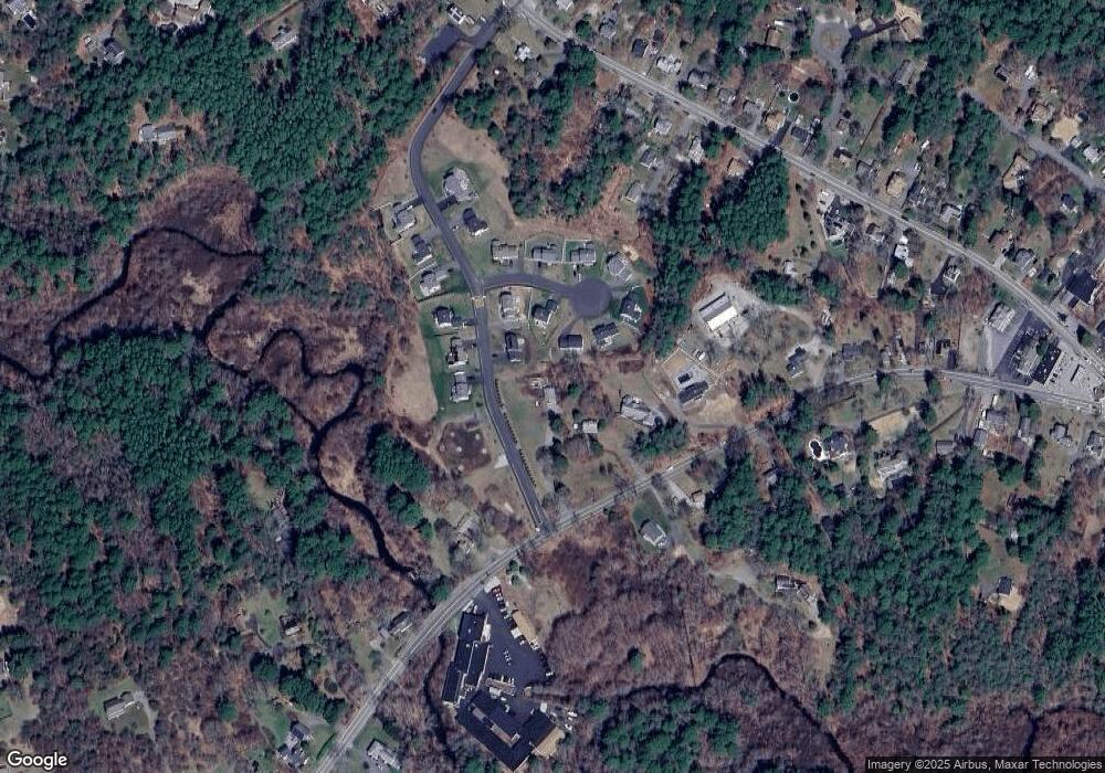
Map
Nearby Homes
- 1 Watermans Ln
- 278 Main St
- 1 Oldfield Dr
- 79 Wapping Rd
- 46 Foxworth Ln
- Lot 17-1 Howland's Ln
- 83 Wapping Rd
- 149 Summer St
- 40 Landing Rd
- 24 Tremont St
- 0 Wildwood Cir
- 1 Chestnut St
- 1 Tarkiln Rd
- 74 Higgins Rd
- 74 Tussock Brook Rd Unit 74
- 167 Grove St
- 100 Parks St Unit 32
- 7 Green Holly Dr
- 412 Elm St
- 40 Bay Farm Rd Unit 40
- 19 Wapping Rd
- 5 Captain Jones Way
- 5 Captain Jones Way
- 3 Barrows Brook Cir
- 3 Barrows Brook Cir
- 4 Captain Jones Way
- 4 Captain Jones Way
- 7 Captain Jones Way
- 6 Captain Jones Way
- 6 Captain Jones Way
- 7 Barrows Brook Cir
- 8 Captain Jones Way
- 15 Wapping Rd
- 10 Barrows Brook Cir
- 10 Captain Jones Way
- 6 Barrows Brook Cir
- 2 Barrows Brook Cir
- 2 Barrows Brook Cir
- 8 Barrows Brook Cir
- 11 Wapping Rd