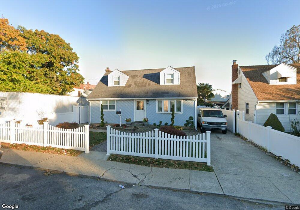
17 Washburn Ave Freeport, NY 11520
Estimated Value: $636,667 - $795,000
2
Beds
3
Baths
1,470
Sq Ft
$487/Sq Ft
Est. Value
About This Home
This home is located at 17 Washburn Ave, Freeport, NY 11520 and is currently estimated at $715,834, approximately $486 per square foot. 17 Washburn Ave is a home located in Nassau County with nearby schools including Caroline G. Atkinson Intermediate School, Columbus Avenue School, and John W Dodd Middle School.
Ownership History
Date
Name
Owned For
Owner Type
Purchase Details
Closed on
Jul 12, 2019
Sold by
Gomez Ramon
Bought by
Rodriguez Salustiano and Rodriguez Luz M
Current Estimated Value
Home Financials for this Owner
Home Financials are based on the most recent Mortgage that was taken out on this home.
Original Mortgage
$300,700
Outstanding Balance
$263,440
Interest Rate
3.82%
Mortgage Type
New Conventional
Estimated Equity
$452,394
Purchase Details
Closed on
Jun 6, 2002
Sold by
Erazo Jose
Purchase Details
Closed on
Jun 15, 1998
Sold by
May Management Corp
Bought by
Martinez Blanca F and Erazo Jose A
Purchase Details
Closed on
Dec 27, 1995
Sold by
Resolution Trust Corp
Bought by
Max Management Corp
Purchase Details
Closed on
May 18, 1995
Sold by
Little Melanie Ref
Bought by
Resolution Trust Corporation F A
Create a Home Valuation Report for This Property
The Home Valuation Report is an in-depth analysis detailing your home's value as well as a comparison with similar homes in the area
Home Values in the Area
Average Home Value in this Area
Purchase History
| Date | Buyer | Sale Price | Title Company |
|---|---|---|---|
| Rodriguez Salustiano | $310,000 | Old Republic Title | |
| -- | -- | -- | |
| Martinez Blanca F | $120,000 | -- | |
| Max Management Corp | $33,300 | -- | |
| Resolution Trust Corporation F A | $35,514 | -- |
Source: Public Records
Mortgage History
| Date | Status | Borrower | Loan Amount |
|---|---|---|---|
| Open | Rodriguez Salustiano | $300,700 |
Source: Public Records
Tax History Compared to Growth
Tax History
| Year | Tax Paid | Tax Assessment Tax Assessment Total Assessment is a certain percentage of the fair market value that is determined by local assessors to be the total taxable value of land and additions on the property. | Land | Improvement |
|---|---|---|---|---|
| 2025 | $8,345 | $387 | $127 | $260 |
| 2024 | $887 | $387 | $127 | $260 |
| 2023 | $8,936 | $387 | $127 | $260 |
| 2022 | $8,936 | $387 | $127 | $260 |
| 2021 | $13,799 | $371 | $122 | $249 |
| 2020 | $10,169 | $691 | $324 | $367 |
| 2019 | $1,146 | $691 | $324 | $367 |
| 2018 | $2,670 | $691 | $0 | $0 |
| 2017 | $8,316 | $691 | $324 | $367 |
| 2016 | $9,353 | $691 | $324 | $367 |
| 2015 | $998 | $691 | $324 | $367 |
| 2014 | $998 | $691 | $324 | $367 |
| 2013 | $943 | $691 | $324 | $367 |
Source: Public Records
Map
Nearby Homes
- 67 E Dean St
- 45 Dehnhoff Ave
- 222 N Ocean Ave
- 101 Harris Ave
- 112 E Seaman Ave
- 27 W Woodbine Dr
- 47 Harding Place
- 70 N Grove St Unit 1R
- 92 Leonard Ave
- 101 Wallace St
- 100 Randall Ave Unit 1E
- 161 Grand Ave
- 99 Randall Ave Unit 1Q
- 259 N Columbus Ave
- 173 E Seaman Ave
- 98 N Columbus Ave
- 182 Grand Ave
- 96 N Columbus Ave
- 26 Rosedale Ave
- 272 N Columbus Ave