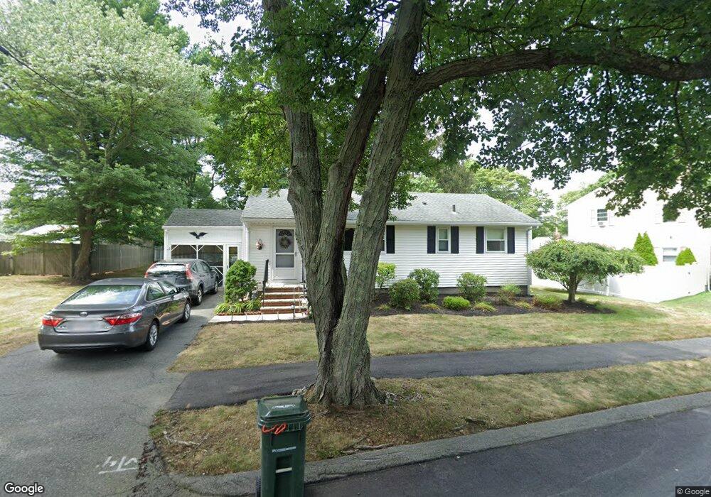
17 Wayside Dr Danvers, MA 01923
Estimated Value: $589,099 - $693,000
2
Beds
1
Bath
1,560
Sq Ft
$408/Sq Ft
Est. Value
About This Home
This home is located at 17 Wayside Dr, Danvers, MA 01923 and is currently estimated at $636,025, approximately $407 per square foot. 17 Wayside Dr is a home located in Essex County with nearby schools including Danvers High School, The Saints Academy, and Shore Country Day School.
Ownership History
Date
Name
Owned For
Owner Type
Purchase Details
Closed on
Aug 3, 2023
Sold by
Chambers William and Chambers Kathryn
Bought by
Chambers Lt and Chambers
Current Estimated Value
Purchase Details
Closed on
May 7, 2014
Sold by
Chambers William T and Chambers Dorothy M
Bought by
Chambers William and Pienta Maureen
Purchase Details
Closed on
Nov 1, 1965
Bought by
Chambers William T and Chambers Dorothy M
Create a Home Valuation Report for This Property
The Home Valuation Report is an in-depth analysis detailing your home's value as well as a comparison with similar homes in the area
Home Values in the Area
Average Home Value in this Area
Purchase History
| Date | Buyer | Sale Price | Title Company |
|---|---|---|---|
| Chambers Lt | -- | None Available | |
| Chambers William | -- | -- | |
| Chambers William T | -- | -- |
Source: Public Records
Tax History Compared to Growth
Tax History
| Year | Tax Paid | Tax Assessment Tax Assessment Total Assessment is a certain percentage of the fair market value that is determined by local assessors to be the total taxable value of land and additions on the property. | Land | Improvement |
|---|---|---|---|---|
| 2025 | $5,564 | $506,300 | $340,300 | $166,000 |
| 2024 | $5,554 | $499,900 | $340,300 | $159,600 |
| 2023 | $5,421 | $461,400 | $309,200 | $152,200 |
| 2022 | $5,296 | $418,300 | $280,600 | $137,700 |
| 2021 | $5,081 | $380,600 | $265,800 | $114,800 |
| 2020 | $4,930 | $377,500 | $262,700 | $114,800 |
| 2019 | $4,696 | $353,600 | $238,800 | $114,800 |
| 2018 | $4,577 | $338,000 | $236,400 | $101,600 |
| 2017 | $4,351 | $306,600 | $206,500 | $100,100 |
| 2016 | $4,145 | $291,900 | $197,000 | $94,900 |
| 2015 | $3,959 | $265,500 | $179,100 | $86,400 |
Source: Public Records
Map
Nearby Homes
- 117 Elliott St
- 52 Ellsworth Ave
- 508 Elliott St
- 100 Poplar St
- 4 Brookvale Dr
- 29 Conant St
- 39 Trask St
- 42 Coolidge Rd
- 59 Riverview Ave
- 13 Giles Ave Unit 2
- 38 Matthies St
- 50 Balch St Unit 205
- 38 High St Unit 4
- 10 King Terrace
- 35 High St Unit 3D
- 12 Exeter St
- 24 Blaine Ave
- 5 Beacon St
- 35 Locust St Unit 3
- 24 Purchase St
- 19 Wayside Dr
- 15 Wayside Dr
- 8 Folly Hill Dr
- 6 Folly Hill Dr
- 10 Folly Hill Dr
- 13 Wayside Dr
- 21 Wayside Dr
- 22 Wayside Dr
- 12 Folly Hill Dr
- 24 Wayside Dr
- 23 Wayside Dr
- 26 Wayside Dr
- 14 Folly Hill Dr
- 7 Folly Hill Dr
- 9 Folly Hill Dr
- 11 Wayside Dr
- 5 Folly Hill Dr
- 11 Folly Hill Dr
- 25 Wayside Dr
- 28 Wayside Dr