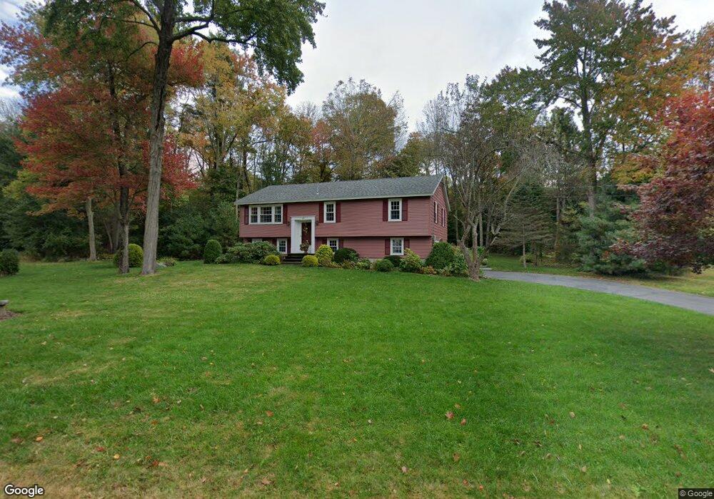
17 Westland Dr Tewksbury, MA 01876
Estimated Value: $726,247 - $828,000
3
Beds
2
Baths
1,635
Sq Ft
$472/Sq Ft
Est. Value
About This Home
This home is located at 17 Westland Dr, Tewksbury, MA 01876 and is currently estimated at $772,062, approximately $472 per square foot. 17 Westland Dr is a home located in Middlesex County with nearby schools including John F. Ryan Elementary School, John W. Wynn Middle School, and Tewksbury Memorial High School.
Ownership History
Date
Name
Owned For
Owner Type
Purchase Details
Closed on
Nov 30, 1984
Bought by
Meroski Theodore P and Meroski Pamela A
Current Estimated Value
Create a Home Valuation Report for This Property
The Home Valuation Report is an in-depth analysis detailing your home's value as well as a comparison with similar homes in the area
Home Values in the Area
Average Home Value in this Area
Purchase History
| Date | Buyer | Sale Price | Title Company |
|---|---|---|---|
| Meroski Theodore P | $118,000 | -- |
Source: Public Records
Mortgage History
| Date | Status | Borrower | Loan Amount |
|---|---|---|---|
| Open | Meroski Theodore P | $246,000 | |
| Closed | Meroski Theodore P | $75,000 | |
| Closed | Meroski Theodore P | $97,000 |
Source: Public Records
Tax History Compared to Growth
Tax History
| Year | Tax Paid | Tax Assessment Tax Assessment Total Assessment is a certain percentage of the fair market value that is determined by local assessors to be the total taxable value of land and additions on the property. | Land | Improvement |
|---|---|---|---|---|
| 2025 | $8,503 | $643,200 | $335,800 | $307,400 |
| 2024 | $8,192 | $611,800 | $320,200 | $291,600 |
| 2023 | $7,950 | $563,800 | $291,000 | $272,800 |
| 2022 | $7,583 | $498,900 | $253,100 | $245,800 |
| 2021 | $7,274 | $462,700 | $230,000 | $232,700 |
| 2020 | $7,249 | $453,900 | $219,100 | $234,800 |
| 2019 | $6,835 | $420,800 | $208,700 | $212,100 |
| 2018 | $10,196 | $400,700 | $208,700 | $192,000 |
| 2017 | $6,206 | $380,500 | $208,700 | $171,800 |
| 2016 | $5,997 | $366,800 | $208,700 | $158,100 |
| 2015 | $5,700 | $348,200 | $199,100 | $149,100 |
| 2014 | $5,545 | $344,200 | $208,700 | $135,500 |
Source: Public Records
Map
Nearby Homes
- 1170 Livingston St
- 399 North St
- 68 Catamount Rd
- 139 Prospect Hill Dr Unit Lot 15
- 20 Meredith Rd
- 1117 Emerald Ct
- 11 Emerald Ct
- 1224 Emerald Ct
- 51 Nolan Ct Unit 51
- 13 Berkeley
- 18 Newton Ave
- 100 Pleasant St Unit 14
- 101 Bellevue Rd
- 101 Squire Ln
- 65 Martin Rd
- 69 Blanchard St
- 11 Orchard St
- 1325 Main
- 58 Blanchard St
- 1220 Andover St