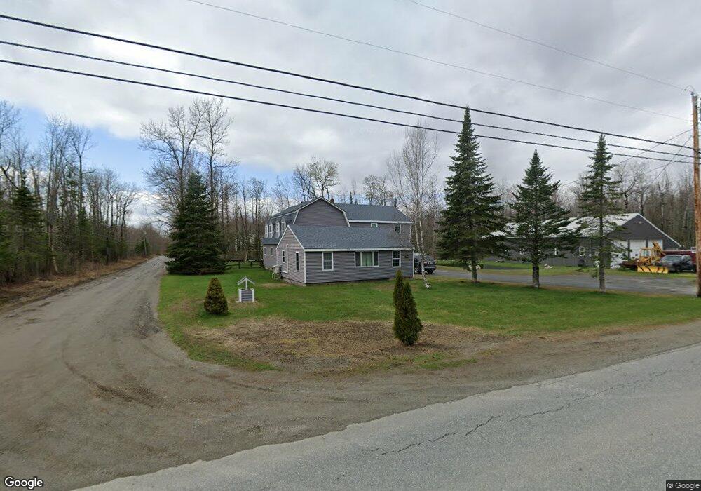
17 Whitten Rd Clinton, ME 04927
Estimated Value: $232,000 - $341,873
3
Beds
2
Baths
2,156
Sq Ft
$137/Sq Ft
Est. Value
About This Home
This home is located at 17 Whitten Rd, Clinton, ME 04927 and is currently estimated at $296,218, approximately $137 per square foot. 17 Whitten Rd is a home located in Kennebec County with nearby schools including Lawrence High School.
Ownership History
Date
Name
Owned For
Owner Type
Purchase Details
Closed on
May 26, 2020
Sold by
Shaw Nicholas E
Bought by
Shaw Meagan E and Shaw Nicholas E
Current Estimated Value
Home Financials for this Owner
Home Financials are based on the most recent Mortgage that was taken out on this home.
Original Mortgage
$97,200
Outstanding Balance
$85,944
Interest Rate
3.3%
Mortgage Type
Stand Alone Refi Refinance Of Original Loan
Estimated Equity
$210,274
Create a Home Valuation Report for This Property
The Home Valuation Report is an in-depth analysis detailing your home's value as well as a comparison with similar homes in the area
Home Values in the Area
Average Home Value in this Area
Purchase History
| Date | Buyer | Sale Price | Title Company |
|---|---|---|---|
| Shaw Meagan E | -- | None Available | |
| Shaw Meagan E | -- | None Available | |
| Shaw Meagan E | -- | None Available |
Source: Public Records
Mortgage History
| Date | Status | Borrower | Loan Amount |
|---|---|---|---|
| Open | Shaw Meagan E | $97,200 | |
| Closed | Shaw Meagan E | $97,200 |
Source: Public Records
Tax History
| Year | Tax Paid | Tax Assessment Tax Assessment Total Assessment is a certain percentage of the fair market value that is determined by local assessors to be the total taxable value of land and additions on the property. | Land | Improvement |
|---|---|---|---|---|
| 2024 | $3,848 | $210,860 | $45,850 | $165,010 |
| 2023 | $3,542 | $210,860 | $45,850 | $165,010 |
| 2022 | $2,657 | $210,860 | $45,850 | $165,010 |
| 2021 | $3,184 | $210,860 | $45,850 | $165,010 |
| 2020 | $605 | $121,190 | $20,000 | $101,190 |
| 2017 | $2,318 | $119,510 | $20,000 | $99,510 |
| 2016 | $2,258 | $120,767 | $20,003 | $100,764 |
| 2015 | $2,231 | $121,911 | $20,003 | $101,908 |
| 2014 | $2,159 | $122,000 | $20,000 | $102,000 |
Source: Public Records
Map
Nearby Homes
- 43 Whitten Rd
- 389 Mutton Ln
- 110 Hill Rd
- 156 Railroad St
- 480 Johnson Flat Rd
- 914 Bellsqueeze Rd
- 21 Water St
- M18Lot 11 Main St
- 1075 Hill Rd
- 28 Sebasticook Dr
- 1107 Hill Rd
- 158 Pleasant St
- 5 Whitten Rd
- Lot 52 Ella Gerald Rd
- 973 Hinckley Rd
- 3 Pine Ln
- 595 Bangor Rd
- 316 Battle Ridge Rd
- Lot 14-2,3 Perkins Rd
- 1423 Main St Unit A
Your Personal Tour Guide
Ask me questions while you tour the home.