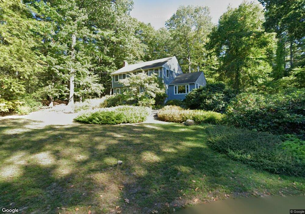
17 Willow Rd Harvard, MA 01451
Estimated Value: $844,394 - $1,244,000
4
Beds
3
Baths
2,278
Sq Ft
$467/Sq Ft
Est. Value
About This Home
This home is located at 17 Willow Rd, Harvard, MA 01451 and is currently estimated at $1,063,349, approximately $466 per square foot. 17 Willow Rd is a home located in Worcester County with nearby schools including Hildreth Elementary School, The Bromfield School, and Immaculate Heart of Mary School.
Ownership History
Date
Name
Owned For
Owner Type
Purchase Details
Closed on
May 24, 2001
Sold by
Dawes Julian Mark and Dawes Laurie
Bought by
Khodabandehloo Peyman and Pratt Meredith
Current Estimated Value
Home Financials for this Owner
Home Financials are based on the most recent Mortgage that was taken out on this home.
Original Mortgage
$275,000
Interest Rate
7.05%
Mortgage Type
Purchase Money Mortgage
Create a Home Valuation Report for This Property
The Home Valuation Report is an in-depth analysis detailing your home's value as well as a comparison with similar homes in the area
Home Values in the Area
Average Home Value in this Area
Purchase History
| Date | Buyer | Sale Price | Title Company |
|---|---|---|---|
| Khodabandehloo Peyman | $549,900 | -- |
Source: Public Records
Mortgage History
| Date | Status | Borrower | Loan Amount |
|---|---|---|---|
| Open | Khodabandehloo Peyman | $369,500 | |
| Closed | Khodabandehloo Peyman | $275,000 | |
| Previous Owner | Khodabandehloo Peyman | $63,000 | |
| Previous Owner | Khodabandehloo Peyman | $110,000 |
Source: Public Records
Tax History
| Year | Tax Paid | Tax Assessment Tax Assessment Total Assessment is a certain percentage of the fair market value that is determined by local assessors to be the total taxable value of land and additions on the property. | Land | Improvement |
|---|---|---|---|---|
| 2025 | $11,907 | $760,800 | $291,600 | $469,200 |
| 2024 | $11,156 | $748,700 | $279,500 | $469,200 |
| 2023 | $10,914 | $657,100 | $247,500 | $409,600 |
| 2022 | $10,028 | $559,900 | $231,000 | $328,900 |
| 2021 | $9,784 | $521,000 | $231,000 | $290,000 |
| 2020 | $9,329 | $505,100 | $235,200 | $269,900 |
| 2019 | $8,942 | $513,300 | $235,200 | $278,100 |
| 2018 | $8,187 | $477,400 | $235,200 | $242,200 |
| 2017 | $8,062 | $445,400 | $217,200 | $228,200 |
| 2016 | $7,884 | $436,800 | $207,800 | $229,000 |
| 2015 | $8,073 | $453,800 | $203,500 | $250,300 |
| 2014 | $7,755 | $453,800 | $203,500 | $250,300 |
Source: Public Records
Map
Nearby Homes
- Lot 54 Prospect Hill Rd
- Lot 60 Prospect Hill Rd
- 60 Prospect Hill Rd
- 54 Prospect Hill Rd
- 21 Woodside Rd
- 19 Partridge Hill Rd
- 9 Blanchard Rd
- 236 Bolton Rd
- 310 Codman Hill Rd Unit 35D
- 176 Swanson Rd Unit 304
- 107 Old Mill Rd
- 220 Swanson Rd Unit 605
- 220 Swanson Rd Unit 606
- 220 Swanson Rd Unit 604
- 226 Swanson Rd Unit 617
- 18A S Shaker Rd
- 53 Swanson Ct Unit 24C
- 15 Spencer Rd Unit 12E
- 295 Vaughn Hill Rd
- 0 Ayer & Old Mill Rd
Your Personal Tour Guide
Ask me questions while you tour the home.