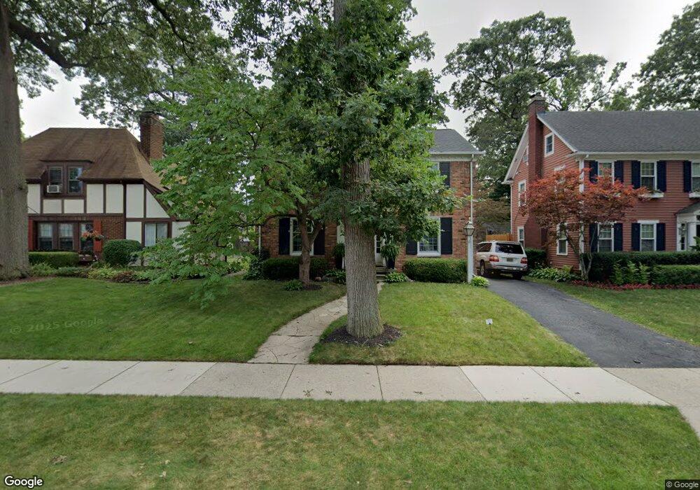
17 Woodside Park Blvd Pleasant Ridge, MI 48069
Estimated Value: $470,000 - $608,000
3
Beds
2
Baths
1,814
Sq Ft
$288/Sq Ft
Est. Value
About This Home
This home is located at 17 Woodside Park Blvd, Pleasant Ridge, MI 48069 and is currently estimated at $522,302, approximately $287 per square foot. 17 Woodside Park Blvd is a home located in Oakland County with nearby schools including Ferndale Lower Elementary Campus, Ferndale Upper Elementary Campus, and Ferndale Middle School.
Ownership History
Date
Name
Owned For
Owner Type
Purchase Details
Closed on
Mar 14, 2007
Sold by
Tracey Douglas C and Arcari Robin J
Bought by
Tracey Douglas C and Tracey Robin A
Current Estimated Value
Home Financials for this Owner
Home Financials are based on the most recent Mortgage that was taken out on this home.
Original Mortgage
$21,000
Interest Rate
6.21%
Mortgage Type
Credit Line Revolving
Create a Home Valuation Report for This Property
The Home Valuation Report is an in-depth analysis detailing your home's value as well as a comparison with similar homes in the area
Home Values in the Area
Average Home Value in this Area
Purchase History
| Date | Buyer | Sale Price | Title Company |
|---|---|---|---|
| Tracey Douglas C | -- | Rels Title |
Source: Public Records
Mortgage History
| Date | Status | Borrower | Loan Amount |
|---|---|---|---|
| Closed | Tracey Douglas C | $21,000 |
Source: Public Records
Tax History Compared to Growth
Tax History
| Year | Tax Paid | Tax Assessment Tax Assessment Total Assessment is a certain percentage of the fair market value that is determined by local assessors to be the total taxable value of land and additions on the property. | Land | Improvement |
|---|---|---|---|---|
| 2024 | $6,900 | $216,950 | $0 | $0 |
| 2023 | $6,598 | $201,090 | $0 | $0 |
| 2022 | $6,548 | $193,340 | $0 | $0 |
| 2021 | $6,267 | $192,770 | $0 | $0 |
| 2020 | $5,966 | $193,460 | $0 | $0 |
| 2019 | $6,089 | $189,360 | $0 | $0 |
| 2018 | $5,961 | $177,560 | $0 | $0 |
| 2017 | $5,863 | $173,510 | $0 | $0 |
| 2016 | $5,872 | $163,310 | $0 | $0 |
| 2015 | -- | $150,130 | $0 | $0 |
| 2014 | -- | $134,830 | $0 | $0 |
| 2011 | -- | $125,880 | $0 | $0 |
Source: Public Records
Map
Nearby Homes
- 24 Ridge Rd
- 19 Maplefield Rd
- 24811 Sherman St
- 93 Oakdale Blvd
- 25475 Dundee Rd
- 24810 Roanoke Ave
- 815 W Oakridge St
- 20 Oxford Blvd
- 1443 S Washington Ave
- 138 Tiffany Ln Unit 90
- 162 S Georgetown Square
- 201 W Parent Ave
- 207 W Parent Ave
- 127 W Parent Ave
- 910 W Maplehurst St
- 25835 Woodward Ave Unit 101
- 437 W Drayton St
- 1021 S Washington Ave Unit G
- 3 Fairwood Blvd
- 202 Stonebrooke Ct
- 15 Woodside Park Blvd
- 19 Woodside Park Blvd
- 12 Kenberton Dr
- 11 Woodside Park Blvd
- 10 Kenberton Dr
- 23 Woodside Park Blvd
- 21 Woodside Park Blvd
- 9 Woodside Park Blvd
- 14 Kenberton Dr
- 8 Kenberton Dr
- 16 Kenberton Dr
- 25 Woodside Park Blvd
- 27 Woodside Park Blvd
- 7 Woodside Park Blvd
- 16 Woodside Park Blvd
- 14 Woodside Park Blvd
- 22 Woodside Park Blvd
- 18 Kenberton Dr
- 6 Kenberton Dr
- 18 Woodside Park Blvd