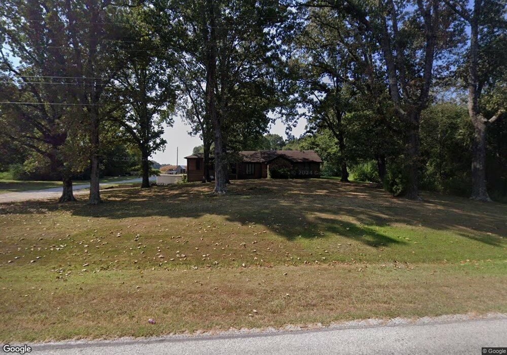
170 Ashport Rd Humboldt, TN 38343
Estimated Value: $202,030 - $264,000
--
Bed
--
Bath
2,210
Sq Ft
$103/Sq Ft
Est. Value
About This Home
This home is located at 170 Ashport Rd, Humboldt, TN 38343 and is currently estimated at $227,508, approximately $102 per square foot. 170 Ashport Rd is a home with nearby schools including Pope School, Northeast Middle School, and North Side High School.
Ownership History
Date
Name
Owned For
Owner Type
Purchase Details
Closed on
Aug 14, 2007
Sold by
Marquez Andrew S
Bought by
Olin Ellsworth
Current Estimated Value
Purchase Details
Closed on
Aug 23, 2004
Sold by
Joe Mitchell
Bought by
Marquez Andrew S
Purchase Details
Closed on
Nov 19, 2003
Sold by
Crosnoe Richard R
Bought by
Joe Mitchell
Purchase Details
Closed on
Sep 5, 1997
Sold by
Crosnoe Richard R
Bought by
Kelley David M and Kelley Mary A
Purchase Details
Closed on
May 25, 1967
Bought by
Crosnoe Richard R
Create a Home Valuation Report for This Property
The Home Valuation Report is an in-depth analysis detailing your home's value as well as a comparison with similar homes in the area
Home Values in the Area
Average Home Value in this Area
Purchase History
| Date | Buyer | Sale Price | Title Company |
|---|---|---|---|
| Olin Ellsworth | $142,500 | -- | |
| Marquez Andrew S | -- | -- | |
| Joe Mitchell | $95,000 | -- | |
| Kelley David M | $86,544 | -- | |
| Crosnoe Richard R | -- | -- |
Source: Public Records
Tax History Compared to Growth
Tax History
| Year | Tax Paid | Tax Assessment Tax Assessment Total Assessment is a certain percentage of the fair market value that is determined by local assessors to be the total taxable value of land and additions on the property. | Land | Improvement |
|---|---|---|---|---|
| 2024 | $935 | $49,925 | $5,625 | $44,300 |
| 2022 | $935 | $49,925 | $5,625 | $44,300 |
| 2021 | $700 | $29,775 | $5,625 | $24,150 |
| 2020 | $700 | $29,775 | $5,625 | $24,150 |
| 2019 | $700 | $29,775 | $5,625 | $24,150 |
| 2018 | $596 | $29,775 | $5,625 | $24,150 |
| 2017 | $592 | $24,175 | $4,175 | $20,000 |
| 2016 | $520 | $24,175 | $4,175 | $20,000 |
| 2015 | $520 | $24,175 | $4,175 | $20,000 |
| 2014 | $510 | $23,725 | $4,175 | $19,550 |
Source: Public Records
Map
Nearby Homes
- 1313 Old Bells Rd
- 24 Walter Helms Rd
- 120 Westwood Cove
- 48 Matthews Crossing Dr
- 32 Matthews Crossing Dr
- 0 Clarence Norfleet Rd
- 118 Northhaven Dr
- 43 Matthews Place Dr
- 598 Old Bells Rd
- 30 Bentbrook Cove
- 250 Bascom Rd
- 73 Westhaven Place
- 456 Mcclellan Rd
- 50 Cheddleton Cove
- 133 Westhaven Place
- 31 Perrington Cove
- 13 Acadia Cove
- 119 Bascom Rd
- 80 Wrights Mill Dr
- 63 Westcott Cove
- 182 Ashport Rd
- 162 Ashport Rd
- 242 Ashport Rd
- 90 Ashport Rd
- 266 Ashport Rd
- 250 Ashport Rd
- 270 Ashport Rd
- 4 Ashport Rd
- 1115 Old Bells Rd
- 1127 Old Bells Rd
- 1139 Old Bells Rd
- 1095 Old Bells Rd
- 1145 Old Bells Rd
- 1077 Old Bells Rd
- 60 Mccoy Rd
- 1103 Old Bells Rd
- 187 Gadsden Rd
- 94 Mccoy Rd
- 1199 Old Bells Rd
- 188 Gadsden Rd