170 Center Rd Lyndeborough, NH 03082
Estimated Value: $495,487 - $520,000
3
Beds
2
Baths
1,776
Sq Ft
$286/Sq Ft
Est. Value
About This Home
This home is located at 170 Center Rd, Lyndeborough, NH 03082 and is currently estimated at $508,622, approximately $286 per square foot. 170 Center Rd is a home with nearby schools including Lyndeborough Central School, Wilton-Lyndeborough Cooperative Middle School, and Wilton-Lyndeborough Cooperative High School.
Ownership History
Date
Name
Owned For
Owner Type
Purchase Details
Closed on
Aug 29, 2024
Sold by
Mcentee Carylyn H
Bought by
Hauser Caitlyn and Brown Jeremiah
Current Estimated Value
Home Financials for this Owner
Home Financials are based on the most recent Mortgage that was taken out on this home.
Original Mortgage
$186,000
Outstanding Balance
$184,025
Interest Rate
6.77%
Mortgage Type
Purchase Money Mortgage
Estimated Equity
$324,597
Create a Home Valuation Report for This Property
The Home Valuation Report is an in-depth analysis detailing your home's value as well as a comparison with similar homes in the area
Home Values in the Area
Average Home Value in this Area
Purchase History
| Date | Buyer | Sale Price | Title Company |
|---|---|---|---|
| Hauser Caitlyn | $475,000 | None Available | |
| Hauser Caitlyn | $475,000 | None Available |
Source: Public Records
Mortgage History
| Date | Status | Borrower | Loan Amount |
|---|---|---|---|
| Open | Hauser Caitlyn | $186,000 | |
| Closed | Hauser Caitlyn | $186,000 |
Source: Public Records
Tax History Compared to Growth
Tax History
| Year | Tax Paid | Tax Assessment Tax Assessment Total Assessment is a certain percentage of the fair market value that is determined by local assessors to be the total taxable value of land and additions on the property. | Land | Improvement |
|---|---|---|---|---|
| 2024 | $7,450 | $288,100 | $101,100 | $187,000 |
| 2023 | $6,848 | $288,100 | $101,100 | $187,000 |
| 2022 | $6,367 | $288,100 | $101,100 | $187,000 |
| 2021 | $6,367 | $288,100 | $101,100 | $187,000 |
| 2020 | $6,148 | $288,100 | $101,100 | $187,000 |
| 2019 | $6,131 | $210,400 | $95,100 | $115,300 |
| 2018 | $6,028 | $213,700 | $98,400 | $115,300 |
| 2017 | $5,928 | $213,700 | $98,400 | $115,300 |
| 2016 | $5,928 | $213,700 | $98,400 | $115,300 |
| 2015 | $5,404 | $213,700 | $98,400 | $115,300 |
| 2013 | $5,714 | $238,100 | $113,300 | $124,800 |
Source: Public Records
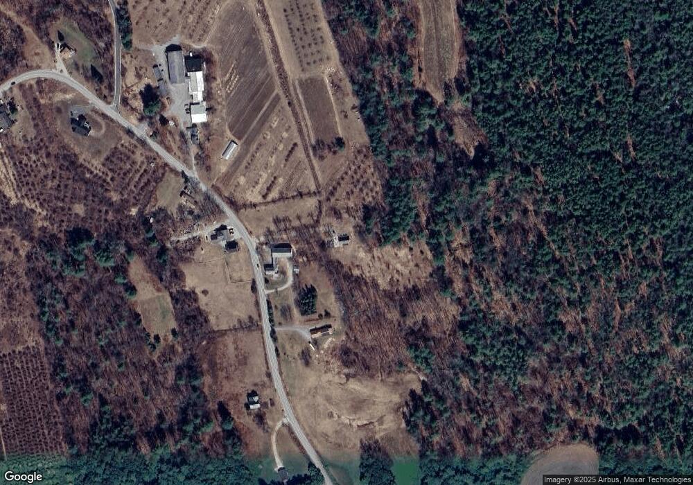
Map
Nearby Homes
- 545 Elm St Unit 34
- 131 Homestead Cir
- 134 Falcon Ridge Rd Unit 23
- 179 Jennison Rd
- 4 Trow Rd
- 69 Purgatory Rd
- 8 Maple St
- 344 Elm St Unit 41
- 10 Mill St
- 27 Island St
- 32 Larch Rd
- F-88-7 Aria Hill Dr
- F-88-12 Aria Hill Dr
- F-88-11 Aria Hill Dr
- 64 Lyndeborough Rd
- F-88-10 Aria Hill Dr
- 88 McGettigan Rd Unit 88-6-1
- 229 Mont Vernon Rd
- 42 Quarry Cir
- 70 Quarry Cir
- 166 Center Rd
- 154 Center Rd
- 163 Center Rd
- 179 Center Rd
- 182 Center Rd
- 139 Center Rd
- 33 Apple Blossom Dr
- 16 Bullard Dr
- 16 Bullard Dr
- 16 Bullard Dr
- 201 Center Rd
- 208 Center Rd
- 27 Apple Blossom Dr
- 127 Center Rd
- 28 Peach Blossom Dr
- 215 Center Rd
- 58 Center Rd
- 31 Bullard Dr
- 13 Apple Blossom Dr
- 76 Center Rd