170 Coble Ln Waynesboro, TN 38485
Estimated Value: $72,000 - $103,000
--
Bed
--
Bath
--
Sq Ft
10
Acres
About This Home
This home is located at 170 Coble Ln, Waynesboro, TN 38485 and is currently estimated at $87,500. 170 Coble Ln is a home located in Wayne County.
Ownership History
Date
Name
Owned For
Owner Type
Purchase Details
Closed on
Apr 27, 2022
Sold by
Ray Hood
Bought by
Dover David
Current Estimated Value
Purchase Details
Closed on
Aug 12, 2002
Bought by
Sparks Theodore and Sparks Wanda
Purchase Details
Closed on
Dec 17, 1998
Sold by
Louise Sparks
Bought by
Louise Sparks
Home Financials for this Owner
Home Financials are based on the most recent Mortgage that was taken out on this home.
Original Mortgage
$7,000
Interest Rate
6.87%
Purchase Details
Closed on
Nov 12, 1992
Bought by
Sparks Theodore Harris
Create a Home Valuation Report for This Property
The Home Valuation Report is an in-depth analysis detailing your home's value as well as a comparison with similar homes in the area
Home Values in the Area
Average Home Value in this Area
Purchase History
| Date | Buyer | Sale Price | Title Company |
|---|---|---|---|
| Dover David | $44,864 | Plant Paul B | |
| Sparks Theodore | $15,000 | -- | |
| Louise Sparks | -- | -- | |
| Sparks Theodore Harris | $2,300 | -- |
Source: Public Records
Mortgage History
| Date | Status | Borrower | Loan Amount |
|---|---|---|---|
| Previous Owner | Sparks Theodore Harris | $7,000 |
Source: Public Records
Tax History Compared to Growth
Tax History
| Year | Tax Paid | Tax Assessment Tax Assessment Total Assessment is a certain percentage of the fair market value that is determined by local assessors to be the total taxable value of land and additions on the property. | Land | Improvement |
|---|---|---|---|---|
| 2024 | $82 | $3,800 | $3,800 | $0 |
| 2023 | $73 | $3,800 | $3,800 | $0 |
| 2022 | $73 | $3,800 | $3,800 | $0 |
| 2021 | $82 | $3,800 | $3,800 | $0 |
| 2020 | $82 | $3,575 | $3,575 | $0 |
| 2019 | $82 | $3,575 | $3,575 | $0 |
| 2018 | $82 | $3,575 | $3,575 | $0 |
| 2017 | $82 | $3,575 | $3,575 | $0 |
| 2016 | $73 | $3,575 | $3,575 | $0 |
| 2014 | $66 | $3,188 | $0 | $0 |
Source: Public Records
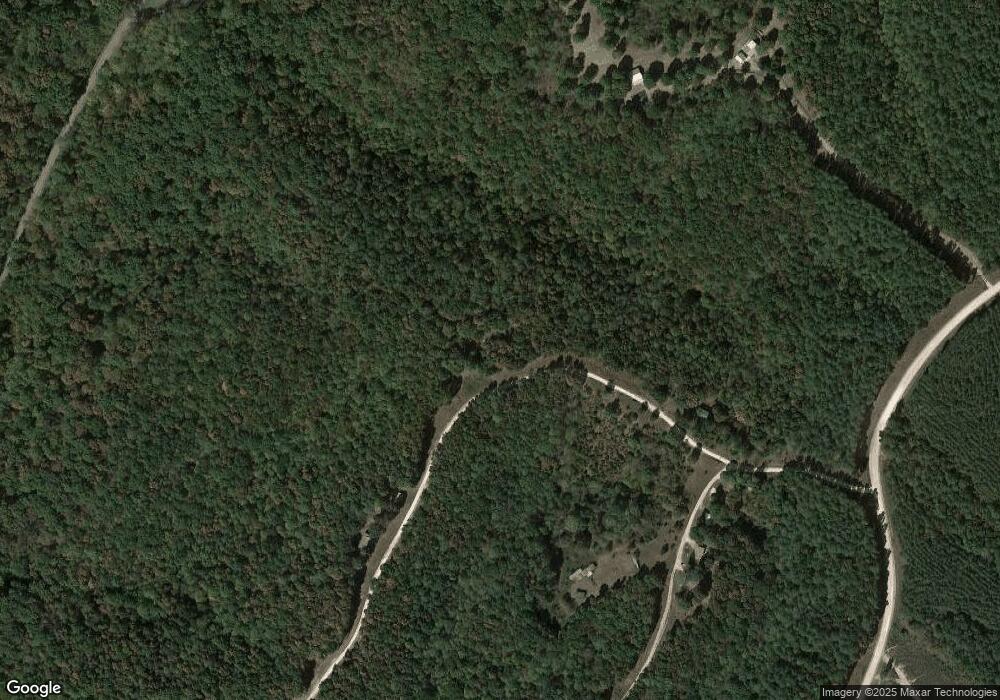
Map
Nearby Homes
- 0 Factory Creek Rd
- 4354 Upper Factory Creek Rd
- 2 Canaan Rd
- 4715 S Forty Eight Creek
- 2312 Little Fish Trap Rd
- 0 Fortyeight Creek Rd Unit RTC2694480
- 0 Double Branch Rd Unit 10203942
- 169 N Chisholm Creek Rd
- 1164 Fish Trapp Rd
- 42 Chisholm Crossing
- 115 Buddy Nutt Rd
- 1141 Lawrenceburg Hwy
- 0 Brush Creek Rd Unit 23745545
- 4013 Andrews Grocery Rd
- 366 Ridge Rd
- 446 Kilburn Hollow Rd
- 1272 Old Highway 64 E
- 910 Hassell Dr
- 0 California Branch Rd
- 120 Wallace Dr
- 170 Coble Ln
- 0 Coble Ln
- 150 Coble Ln
- 105 Rocky Top Ln
- 105 Rocky Top Ln
- 1429 Roy Haggard Rd
- 196 Coble Ln
- 232 Coble Ln
- 151 Coble Ln
- 4899 Upper Factory Creek Rd
- 4775 Upper Factory Creek Rd
- 4775 Upper Factory Creek Rd
- 4784 Upper Factory Creek Rd
- 4794 Upper Factory Creek Rd
- 4602 Upper Factory Creek Rd
- 4600 Upper Factory Creek Rd
- 1635 Little Fish Trap Rd
- 0 Suckstem Branch Rd