170 Devon Way Unit 911 Levittown, PA 19057
Estimated Value: $282,000 - $317,698
2
Beds
3
Baths
1,455
Sq Ft
$205/Sq Ft
Est. Value
About This Home
This home is located at 170 Devon Way Unit 911, Levittown, PA 19057 and is currently estimated at $298,175, approximately $204 per square foot. 170 Devon Way Unit 911 is a home located in Bucks County with nearby schools including Truman Senior High School, First Presbyterian Church School, and Hope Lutheran School.
Ownership History
Date
Name
Owned For
Owner Type
Purchase Details
Closed on
May 15, 1996
Sold by
Jordan Inc
Bought by
Watson Joyce C
Current Estimated Value
Home Financials for this Owner
Home Financials are based on the most recent Mortgage that was taken out on this home.
Original Mortgage
$88,750
Outstanding Balance
$5,061
Interest Rate
8.01%
Mortgage Type
FHA
Estimated Equity
$293,114
Create a Home Valuation Report for This Property
The Home Valuation Report is an in-depth analysis detailing your home's value as well as a comparison with similar homes in the area
Home Values in the Area
Average Home Value in this Area
Purchase History
| Date | Buyer | Sale Price | Title Company |
|---|---|---|---|
| Watson Joyce C | $90,990 | Lawyers Title Insurance Corp |
Source: Public Records
Mortgage History
| Date | Status | Borrower | Loan Amount |
|---|---|---|---|
| Open | Watson Joyce C | $88,750 |
Source: Public Records
Tax History Compared to Growth
Tax History
| Year | Tax Paid | Tax Assessment Tax Assessment Total Assessment is a certain percentage of the fair market value that is determined by local assessors to be the total taxable value of land and additions on the property. | Land | Improvement |
|---|---|---|---|---|
| 2025 | $4,932 | $18,160 | -- | $18,160 |
| 2024 | $4,932 | $18,160 | $0 | $18,160 |
| 2023 | $4,895 | $18,160 | $0 | $18,160 |
| 2022 | $4,895 | $18,160 | $0 | $18,160 |
| 2021 | $4,895 | $18,160 | $0 | $18,160 |
| 2020 | $4,895 | $18,160 | $0 | $18,160 |
| 2019 | $4,877 | $18,160 | $0 | $18,160 |
| 2018 | $4,799 | $18,160 | $0 | $18,160 |
| 2017 | $4,726 | $18,160 | $0 | $18,160 |
| 2016 | $4,726 | $18,160 | $0 | $18,160 |
| 2015 | $3,391 | $18,160 | $0 | $18,160 |
| 2014 | $3,391 | $18,160 | $0 | $18,160 |
Source: Public Records
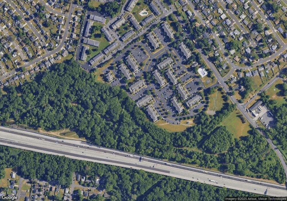
Map
Nearby Homes
- 2715 Crest Ave
- 23 Misty Pine Rd
- 34 Misty Pine Rd
- 2519 Woodlawn Dr
- 3021 Bath Rd
- 145 Mill Dr
- 57 Middle Rd
- 53 Micahill Rd
- 47 Plumbridge Dr
- 38 Plumtree Rd
- 111 Border Rock Rd
- 2416 Fleetwing Dr
- 35 Parkside Cir
- 1019 Green Ln
- 101 Idlewild Rd
- 212 Plumbridge Dr
- 43 Petunia Rd
- 0 West Ave
- 86 Wildflower Rd
- 30 Whitewood Dr
- 168 Devon Way Unit 118
- 168 Devon Way Unit 910
- 172 Devon Way Unit 903
- 169 Naomi Ct Unit 917
- 174 Devon Way Unit 912
- 171 Naomi Ct Unit 907
- 173 Naomi Ct Unit 918
- 167 Naomi Ct Unit 916
- 166 Devon Way Unit 902
- 176 Devon Way Unit 913
- 175 Naomi Ct Unit 919
- 164 Devon Way Unit 909
- 165 Naomi Ct
- 163 Naomi Ct Unit 915
- 177 Naomi Ct Unit 908
- 177 Naomi Ct
- 178 Devon Way Unit 904
- 162 Devon Way Unit 901
- 179 Naomi Ct Unit 920
- 180 Devon Way Unit 914