Estimated Value: $87,000 - $162,000
3
Beds
2
Baths
1,152
Sq Ft
$96/Sq Ft
Est. Value
About This Home
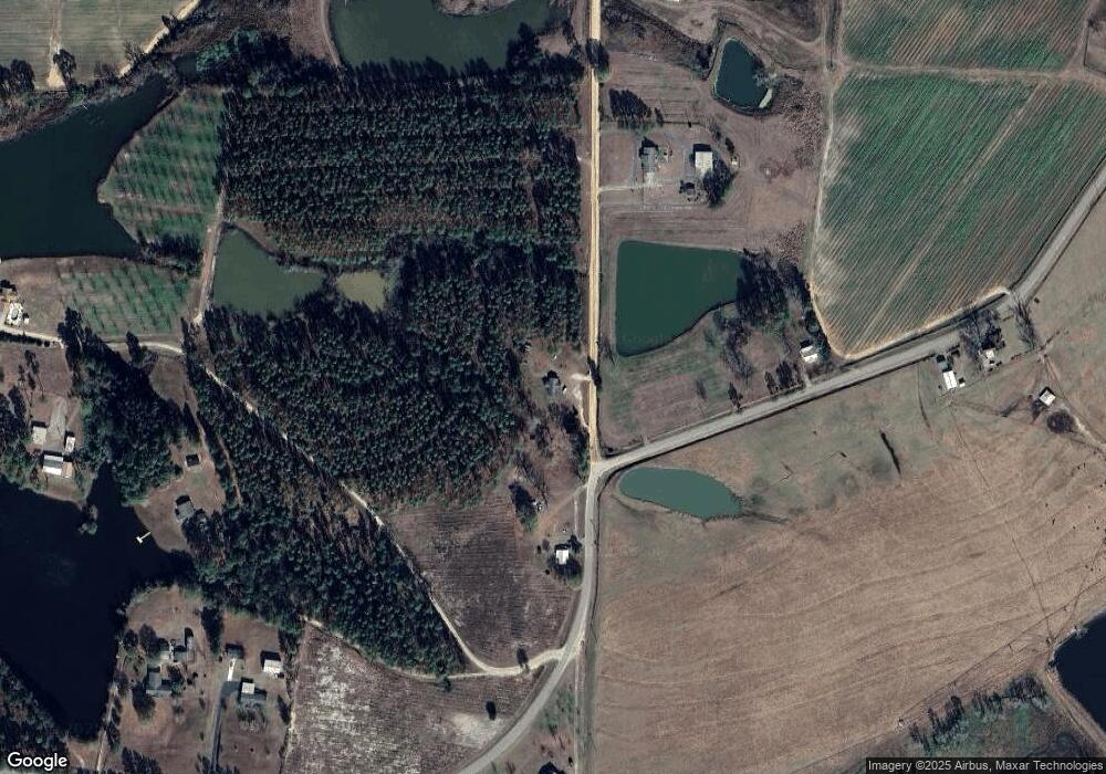
This home is located at 170 Powell Rd, Omega, GA 31775 and is currently estimated at $111,042, approximately $96 per square foot. 170 Powell Rd is a home located in Tift County with nearby schools including Omega Elementary School, J.T. Reddick School, and Eighth Street Middle School.
Ownership History
Date
Name
Owned For
Owner Type
Purchase Details
Closed on
Jun 15, 2005
Sold by
Brooks Harvey J
Bought by
Bennett Land & Timber Co Llc
Current Estimated Value
Purchase Details
Closed on
Jun 11, 2003
Sold by
Bennett M Harold
Bought by
Brooks Harvey J
Purchase Details
Closed on
Apr 12, 2002
Sold by
Williams Glenda
Bought by
Brooks Harvey
Purchase Details
Closed on
Apr 20, 1989
Create a Home Valuation Report for This Property
The Home Valuation Report is an in-depth analysis detailing your home's value as well as a comparison with similar homes in the area
Home Values in the Area
Average Home Value in this Area
Purchase History
| Date | Buyer | Sale Price | Title Company |
|---|---|---|---|
| Bennett Land & Timber Co Llc | $27,000 | -- | |
| Brooks Harvey J | -- | -- | |
| Brooks Harvey | $8,000 | -- | |
| Brooks Harvey | $25,000 | -- | |
| -- | $4,000 | -- |
Source: Public Records
Tax History Compared to Growth
Tax History
| Year | Tax Paid | Tax Assessment Tax Assessment Total Assessment is a certain percentage of the fair market value that is determined by local assessors to be the total taxable value of land and additions on the property. | Land | Improvement |
|---|---|---|---|---|
| 2024 | $715 | $32,751 | $2,814 | $29,937 |
| 2023 | $776 | $20,936 | $2,942 | $17,994 |
| 2022 | $621 | $20,936 | $2,942 | $17,994 |
| 2021 | $625 | $20,936 | $2,942 | $17,994 |
| 2020 | $637 | $20,936 | $2,942 | $17,994 |
| 2019 | $636 | $20,936 | $2,942 | $17,994 |
| 2018 | $635 | $20,936 | $2,942 | $17,994 |
| 2017 | $638 | $20,936 | $2,942 | $17,994 |
| 2016 | $638 | $20,936 | $2,942 | $17,994 |
| 2015 | $639 | $20,936 | $2,942 | $17,994 |
| 2014 | $640 | $20,936 | $2,942 | $17,994 |
| 2013 | -- | $20,936 | $2,942 | $17,994 |
Source: Public Records
Map
Nearby Homes
- 122 New St
- 146 Lamar St
- 142 Lamar St
- 1427 S Ty Omega Rd
- 160 Main Street Crosland
- 1396 Livingston Bridge Rd
- 171 Ellis Bryan Rd
- 000 Star Cir
- 000 U S Highway 319
- 173 Middlebrooks St
- 54 Jacks Way
- 4554 Carpenter Rd S
- 187 Bussell Rd
- 1852 Doerun Norman Park Rd
- 4502 Carpenter Rd S
- 0 Deer Run Cir
- 5015 Union Rd
- 33 Surrey Cir
- 45 Surrey Cir
- 1802 Golden Rd W
- 330 Flat Ford Rd W
- 10 Flat Ford Rd
- 184 Powell Rd
- 145 Powell Rd
- 211 Powell Rd
- 198 Powell Rd
- 307 Flat Ford Rd W
- 254 Powell Rd
- 258 Powell Rd
- 103 Powell Rd
- 266 Powell Rd
- 274 Flat Ford Rd W
- 93 Powell Rd
- 2118 Ty Ty Sparks Rd
- 2102 Ty Ty Sparks Rd
- 2096 Ty Ty Sparks Rd
- 2096 Ty Ty Sparks Rd
- 2090 Ty Ty Sparks Rd
- 2084 Ty Ty Sparks Rd
- 43 Powell Rd
