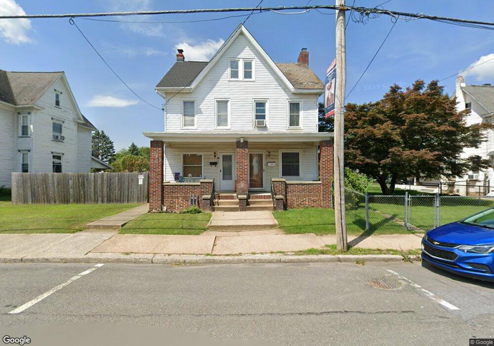
170 S 4th St Lehighton, PA 18235
Estimated Value: $182,000 - $259,588
3
Beds
2
Baths
1,674
Sq Ft
$124/Sq Ft
Est. Value
About This Home
This home is located at 170 S 4th St, Lehighton, PA 18235 and is currently estimated at $208,397, approximately $124 per square foot. 170 S 4th St is a home located in Carbon County with nearby schools including Lehighton Area High School, Sts. Peter & Paul School, and Valley Ridge Academy.
Ownership History
Date
Name
Owned For
Owner Type
Purchase Details
Closed on
Apr 9, 2010
Sold by
Sandefer Scott G
Bought by
Sandefer Scott G and Sandefer Margaret A
Current Estimated Value
Purchase Details
Closed on
Oct 29, 2009
Sold by
Utrata Bernard A and Utrata Patricia L
Bought by
Sandefer Scott G
Home Financials for this Owner
Home Financials are based on the most recent Mortgage that was taken out on this home.
Original Mortgage
$117,472
Outstanding Balance
$76,940
Interest Rate
5.06%
Mortgage Type
VA
Estimated Equity
$131,457
Create a Home Valuation Report for This Property
The Home Valuation Report is an in-depth analysis detailing your home's value as well as a comparison with similar homes in the area
Home Values in the Area
Average Home Value in this Area
Purchase History
| Date | Buyer | Sale Price | Title Company |
|---|---|---|---|
| Sandefer Scott G | -- | None Available | |
| Sandefer Scott G | $115,000 | None Available |
Source: Public Records
Mortgage History
| Date | Status | Borrower | Loan Amount |
|---|---|---|---|
| Open | Sandefer Scott G | $117,472 |
Source: Public Records
Tax History Compared to Growth
Tax History
| Year | Tax Paid | Tax Assessment Tax Assessment Total Assessment is a certain percentage of the fair market value that is determined by local assessors to be the total taxable value of land and additions on the property. | Land | Improvement |
|---|---|---|---|---|
| 2025 | $3,382 | $42,400 | $5,450 | $36,950 |
| 2024 | $3,213 | $42,400 | $5,450 | $36,950 |
| 2023 | $3,181 | $42,400 | $5,450 | $36,950 |
| 2022 | $3,181 | $42,400 | $5,450 | $36,950 |
| 2021 | $3,069 | $42,400 | $5,450 | $36,950 |
| 2020 | $2,995 | $42,400 | $5,450 | $36,950 |
| 2019 | $2,868 | $42,400 | $5,450 | $36,950 |
| 2018 | $2,804 | $42,400 | $5,450 | $36,950 |
| 2017 | $2,783 | $42,400 | $5,450 | $36,950 |
| 2016 | -- | $42,400 | $5,450 | $36,950 |
| 2015 | -- | $42,400 | $5,450 | $36,950 |
| 2014 | -- | $42,400 | $5,450 | $36,950 |
Source: Public Records
Map
Nearby Homes
- 193 S 4th St
- 193 S 4th St Unit 191-193
- 117 N 4th St
- 230 S 2nd St
- 236 S 2nd St
- 639 Iron St
- 231 Coal St
- 142 Bankway St
- 12 2nd Ave
- 344 Ochre St
- 410 S 8th St
- 470 N 8th St
- 230 Carbon St
- 0 Fairyland Rd Unit PM-136987
- 17 Mahoning Dr E
- 438 White St
- 0 Pine Hollow Dr Unit PACC2006714
- 0 Pine Hollow Dr Unit PM-135085
- 0 Pine Hollow Dr Unit 763487
- 201 Fairview St