170 Swallow Point Unit 1156 Jasper, GA 30143
Estimated Value: $679,000 - $1,000,000
4
Beds
5
Baths
2,465
Sq Ft
$341/Sq Ft
Est. Value
About This Home
This home is located at 170 Swallow Point Unit 1156, Jasper, GA 30143 and is currently estimated at $841,781, approximately $341 per square foot. 170 Swallow Point Unit 1156 is a home located in Pickens County with nearby schools including Tate Elementary School, Pickens County Middle School, and Pickens County High School.
Ownership History
Date
Name
Owned For
Owner Type
Purchase Details
Closed on
Apr 16, 2003
Sold by
Brown Virginia M
Bought by
Morris Raymond B
Current Estimated Value
Purchase Details
Closed on
Sep 23, 1997
Sold by
Savino Sam and Savino Marie
Bought by
Brown Grober J
Purchase Details
Closed on
May 11, 1995
Bought by
Savino Sam and Savino Marie
Purchase Details
Closed on
Oct 3, 1984
Sold by
Love J Erskine Jr
Bought by
Anderson William D
Create a Home Valuation Report for This Property
The Home Valuation Report is an in-depth analysis detailing your home's value as well as a comparison with similar homes in the area
Home Values in the Area
Average Home Value in this Area
Purchase History
| Date | Buyer | Sale Price | Title Company |
|---|---|---|---|
| Morris Raymond B | $564,800 | -- | |
| Brown Grober J | $400,000 | -- | |
| Savino Sam | $70,000 | -- | |
| Anderson William D | $37,000 | -- |
Source: Public Records
Tax History Compared to Growth
Tax History
| Year | Tax Paid | Tax Assessment Tax Assessment Total Assessment is a certain percentage of the fair market value that is determined by local assessors to be the total taxable value of land and additions on the property. | Land | Improvement |
|---|---|---|---|---|
| 2024 | $5,798 | $292,971 | $80,000 | $212,971 |
| 2023 | $5,958 | $292,971 | $80,000 | $212,971 |
| 2022 | $5,958 | $292,971 | $80,000 | $212,971 |
| 2021 | $6,384 | $292,971 | $80,000 | $212,971 |
| 2020 | $6,575 | $292,971 | $80,000 | $212,971 |
| 2019 | $6,001 | $261,390 | $80,000 | $181,390 |
| 2018 | $6,058 | $261,390 | $80,000 | $181,390 |
| 2017 | $6,157 | $261,390 | $80,000 | $181,390 |
| 2016 | $5,776 | $241,390 | $60,000 | $181,390 |
| 2015 | $5,642 | $241,390 | $60,000 | $181,390 |
| 2014 | $5,653 | $241,390 | $60,000 | $181,390 |
| 2013 | -- | $241,389 | $60,000 | $181,389 |
Source: Public Records
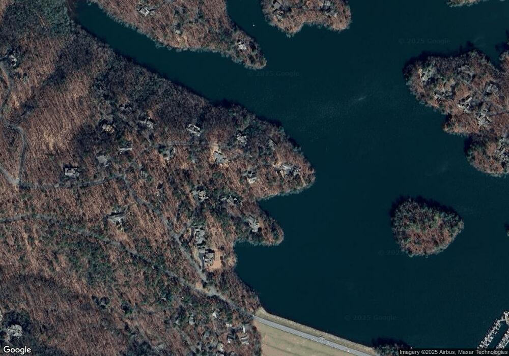
Map
Nearby Homes
- 81 Flycatcher Point
- 120 Petit Ridge Dr
- 10 Buckskull Ct
- 54 Buckskull Brow
- 16 Buckskull Knoll
- 148 Kingfisher Point
- 202 Buckskull Hollow Dr
- 255 Indigo Bunting Trail
- 101 Treetopper Cir
- 98 Robins Nest
- 150 Treetopper Cir
- 35 Treetop Knoll Dr
- 1023 Sparrows Nest
- 626 Petit Ridge Dr
- 39 Laurel Ridge Trail
- 23 Laurel Ridge Trail
- 15 Gentle Dove Walk
- 941 Quail Cove Dr
- 11 Laurel Ridge Ln
- 150 Swallow Point
- 190 Swallow Point
- 0 Swallow Point Unit 8429520
- 0 Swallow Point Unit 7179302
- 0 Swallow Point
- 153 Swallow Point
- 181 Swallow Point
- 45 Flycatcher Point
- 1165 Fly Catcher Point
- 84 Flycatcher Point
- 90 Swallow Point
- 1033 Robins Nest
- 1138 Robins Nest
- 1131 Robins Nest
- 1074 Robins Nest Unit NEST
- 0 Flycatcher Point Unit 8216998
- 0 Flycatcher Point
- 95 Swallow Point
- 106 Petit Ridge Dr
- 106 Pettit Rd