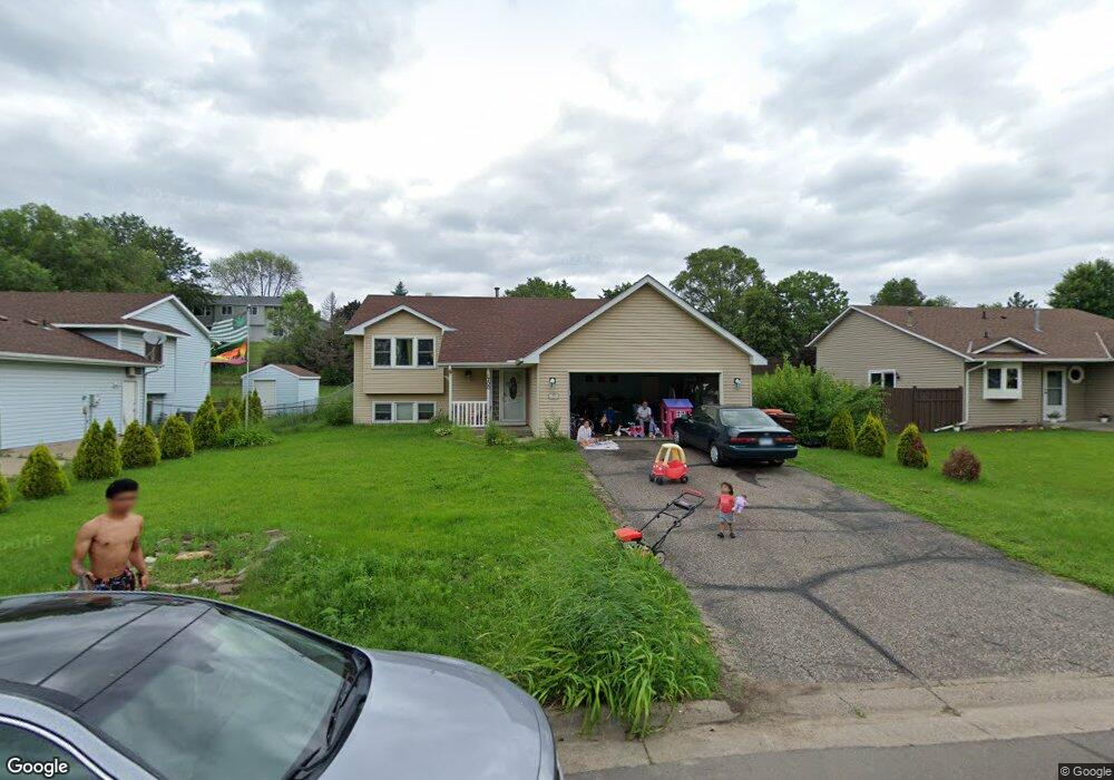
1700 1700 Summit Ave St. Paul Park, MN 55071
Estimated Value: $336,148 - $364,000
4
Beds
2
Baths
1,020
Sq Ft
$343/Sq Ft
Est. Value
About This Home
This home is located at 1700 1700 Summit Ave, St. Paul Park, MN 55071 and is currently estimated at $350,287, approximately $343 per square foot. 1700 1700 Summit Ave is a home located in Washington County with nearby schools including Pullman Elementary School, Oltman Middle School, and Park Senior High School.
Ownership History
Date
Name
Owned For
Owner Type
Purchase Details
Closed on
Nov 27, 2013
Sold by
Mekonnen Ephre and Feyisa Fikirte
Bought by
Mekonnen Ephrem
Current Estimated Value
Home Financials for this Owner
Home Financials are based on the most recent Mortgage that was taken out on this home.
Original Mortgage
$125,000
Outstanding Balance
$81,685
Interest Rate
4.1%
Mortgage Type
New Conventional
Estimated Equity
$268,602
Purchase Details
Closed on
Sep 17, 2007
Sold by
Wells Fargo Bank Na
Bought by
Ephrem Mekonnen
Home Financials for this Owner
Home Financials are based on the most recent Mortgage that was taken out on this home.
Original Mortgage
$141,000
Interest Rate
5.11%
Mortgage Type
New Conventional
Purchase Details
Closed on
Jun 3, 2005
Sold by
Solei Michael T and Solei Sharon Lynn
Bought by
Buetow Martha L
Create a Home Valuation Report for This Property
The Home Valuation Report is an in-depth analysis detailing your home's value as well as a comparison with similar homes in the area
Home Values in the Area
Average Home Value in this Area
Purchase History
| Date | Buyer | Sale Price | Title Company |
|---|---|---|---|
| Mekonnen Ephrem | -- | Ravenswood Title Company Llc | |
| Ephrem Mekonnen | $151,500 | -- | |
| Buetow Martha L | $234,900 | -- |
Source: Public Records
Mortgage History
| Date | Status | Borrower | Loan Amount |
|---|---|---|---|
| Open | Mekonnen Ephrem | $125,000 | |
| Previous Owner | Ephrem Mekonnen | $141,000 |
Source: Public Records
Tax History Compared to Growth
Tax History
| Year | Tax Paid | Tax Assessment Tax Assessment Total Assessment is a certain percentage of the fair market value that is determined by local assessors to be the total taxable value of land and additions on the property. | Land | Improvement |
|---|---|---|---|---|
| 2024 | $4,792 | $318,200 | $90,000 | $228,200 |
| 2023 | $4,792 | $322,900 | $98,000 | $224,900 |
| 2022 | $3,514 | $311,400 | $97,900 | $213,500 |
| 2021 | $3,326 | $259,200 | $81,500 | $177,700 |
| 2020 | $3,200 | $250,300 | $81,500 | $168,800 |
| 2019 | $3,080 | $238,600 | $68,000 | $170,600 |
| 2018 | $3,082 | $217,800 | $63,000 | $154,800 |
| 2017 | $2,890 | $217,600 | $73,000 | $144,600 |
| 2016 | $2,724 | $209,700 | $65,000 | $144,700 |
| 2015 | $2,528 | $177,200 | $49,500 | $127,700 |
| 2013 | -- | $144,900 | $39,400 | $105,500 |
Source: Public Records
Map
Nearby Homes
- 1571 Summit Ave
- 1712 Selby Ave
- 10406 Glenbrook Ave S
- 10502 Glenbrook Ave S
- 10442 Glenbrook Ave S
- 10503 Glenbrook Ave S
- 1410 5th St
- 1200 Summit Ave
- 1601 14th Ave
- 9070 Grey Cloud Island Dr S
- 1033 Portland Ave
- 1637 Pullman Ave
- 8012 Scott Blvd
- 1142 1st St
- 8633 Grospoint Ave S
- 8843 Grospoint Ave S
- 11XX 1st St
- 6961 E Point Douglas Rd S
- 801 Summit Ave
- 6699 93rd Alcove S
- 1732 1732 Summit-Avenue-
- 1700 Summit Ave
- 1716 Summit Ave
- 1733 Summit Ave
- 1749 1749 Summit Ave
- 1749 1749 Summit-Avenue-
- 1716 Summit Ave
- 1717 Summit Ave
- 1684 Summit Ave
- 1749 Summit Ave
- 1701 Summit Ave
- 1732 Summit Ave
- 1678 Summit Ave
- 1699 Summit Ave
- 1765 Summit Ave
- 1748 Summit Ave
- 1683 Ashland Ave
- 1662 Summit Ave
- 1699 Ashland Ave
- 1667 Ashland Ave