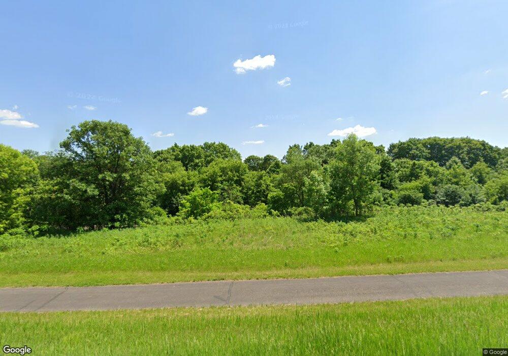
1700 Dundas Blvd Dundas, MN 55019
Estimated Value: $543,000 - $732,992
2
Beds
3
Baths
2,048
Sq Ft
$307/Sq Ft
Est. Value
About This Home
This home is located at 1700 Dundas Blvd, Dundas, MN 55019 and is currently estimated at $628,997, approximately $307 per square foot. 1700 Dundas Blvd is a home located in Rice County with nearby schools including Bridgewater Elementary School, Northfield Middle School, and Northfield Senior High School.
Ownership History
Date
Name
Owned For
Owner Type
Purchase Details
Closed on
Nov 25, 2019
Sold by
1700 Dundas Llc
Bought by
Skog Norman and Edmonson Karen
Current Estimated Value
Home Financials for this Owner
Home Financials are based on the most recent Mortgage that was taken out on this home.
Original Mortgage
$330,000
Outstanding Balance
$291,793
Interest Rate
3.75%
Mortgage Type
New Conventional
Estimated Equity
$337,204
Purchase Details
Closed on
Jul 6, 2017
Sold by
Skog Norman
Bought by
1700 Dundas Llc
Purchase Details
Closed on
Apr 27, 2017
Sold by
Schwanke Hazel and Schwanke Lewis
Bought by
Skog Norman
Purchase Details
Closed on
Apr 10, 2017
Sold by
Stevens Katie Joy and Estate Of Donna Pulju
Bought by
Skog Norman
Create a Home Valuation Report for This Property
The Home Valuation Report is an in-depth analysis detailing your home's value as well as a comparison with similar homes in the area
Home Values in the Area
Average Home Value in this Area
Purchase History
| Date | Buyer | Sale Price | Title Company |
|---|---|---|---|
| Skog Norman | -- | Executive Title | |
| 1700 Dundas Llc | $15,651 | None Available | |
| Skog Norman | $140,000 | Attorney | |
| Skog Norman | -- | None Available |
Source: Public Records
Mortgage History
| Date | Status | Borrower | Loan Amount |
|---|---|---|---|
| Open | Skog Norman | $330,000 |
Source: Public Records
Tax History Compared to Growth
Tax History
| Year | Tax Paid | Tax Assessment Tax Assessment Total Assessment is a certain percentage of the fair market value that is determined by local assessors to be the total taxable value of land and additions on the property. | Land | Improvement |
|---|---|---|---|---|
| 2025 | $10,988 | $613,300 | $157,000 | $456,300 |
| 2024 | $9,788 | $605,500 | $125,600 | $479,900 |
| 2023 | $9,116 | $605,500 | $125,600 | $479,900 |
| 2022 | $7,928 | $554,400 | $107,800 | $446,600 |
| 2021 | $8,468 | $475,500 | $88,800 | $386,700 |
| 2020 | $3,312 | $439,200 | $86,300 | $352,900 |
| 2019 | $3,240 | $130,700 | $86,300 | $44,400 |
| 2018 | $2,180 | $130,000 | $86,300 | $43,700 |
| 2017 | $1,852 | $112,400 | $70,700 | $41,700 |
| 2016 | $1,906 | $110,400 | $70,700 | $39,700 |
| 2015 | $1,878 | $108,000 | $70,700 | $37,300 |
| 2014 | -- | $107,000 | $70,700 | $36,300 |
Source: Public Records
Map
Nearby Homes
- 900 Cannon Rd
- xxx Weaver Rd
- Outlot Honeylocust Dr
- 514 Miller Ln
- 2620 Oak Lawn Dr
- 2004 Lincoln St S
- 9206 Edgebrook Dr
- 210 Mill St W
- 2704 Oak Lawn Dr
- 2708 Oak Lawn Dr
- 2804 Oak Lawn Dr
- 1504 Pheasantwood Trail
- 1741 Roosevelt Dr
- 1707 Jackson Ct
- 2206 Grant Ct
- 1819 Truman Ct
- 709 Carter Dr
- 546 Cannon Way
- 555 Cannon Way
- 2116 Park Pointe Dr
- XXXX Dundas Blvd
- 1700 Dundas Blvd
- 1900 Dundas Blvd
- 10150 Dundas Blvd
- 1800 Riverview Dr
- 2051 Honeylocust Dr
- 10220 Dundas Blvd
- 2250 Cannon Rd
- XXX Riverview Dr
- 2111 Honeylocust Dr
- 2280 Cannon Rd
- 2131 Honeylocust Dr
- 2130 Honeylocust Dr
- 100 Bluestone Dr
- 0 Unassigned Address Unit 3599385
- 0 Unassigned Address Unit 3599385
- 105 Bluestone Dr
- 108 Bluestone Dr
- 104 Bluestone Dr
- 112 Bluestone Dr
