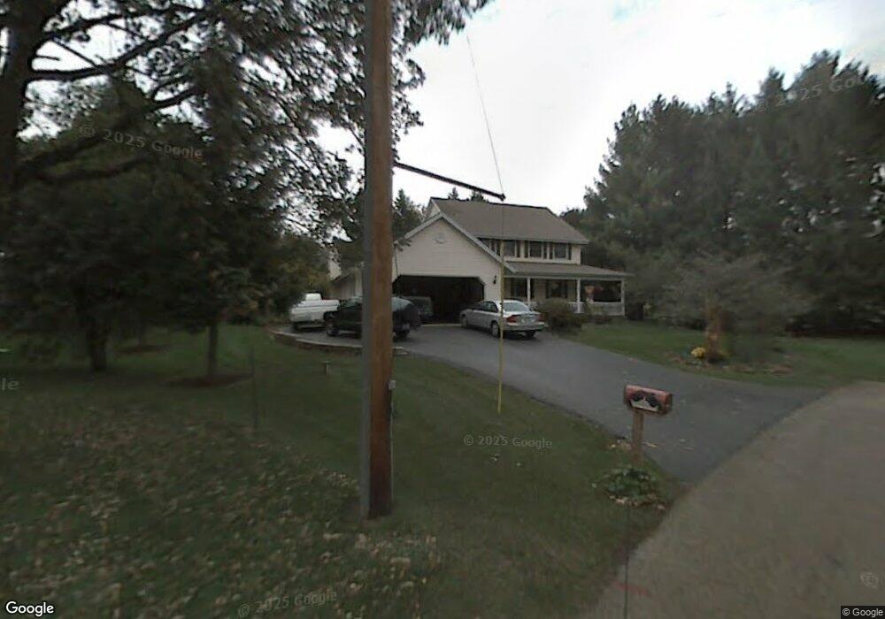
1700 Oak St Spring Grove, IL 60081
Estimated Value: $311,000 - $449,000
Studio
1
Bath
2,526
Sq Ft
$151/Sq Ft
Est. Value
About This Home
This home is located at 1700 Oak St, Spring Grove, IL 60081 and is currently estimated at $380,803, approximately $150 per square foot. 1700 Oak St is a home located in McHenry County with nearby schools including Spring Grove Elementary School, Nippersink Middle School, and Richmond-Burton High School.
Ownership History
Date
Name
Owned For
Owner Type
Purchase Details
Closed on
Feb 8, 2022
Sold by
Flood John T and Flood Frances S
Bought by
John T Flood And Frances S Flood Living Trust and Flood
Current Estimated Value
Purchase Details
Closed on
Oct 11, 1996
Sold by
Hoffmann David and Hoffmann Melissa D
Bought by
Flood John T and Flood Frances S
Home Financials for this Owner
Home Financials are based on the most recent Mortgage that was taken out on this home.
Original Mortgage
$122,000
Interest Rate
8.44%
Mortgage Type
Purchase Money Mortgage
Purchase Details
Closed on
Dec 21, 1993
Sold by
State Bank Of Woodstock
Bought by
Hoffmann David and Hoffmann Melissa D
Create a Home Valuation Report for This Property
The Home Valuation Report is an in-depth analysis detailing your home's value as well as a comparison with similar homes in the area
Home Values in the Area
Average Home Value in this Area
Purchase History
| Date | Buyer | Sale Price | Title Company |
|---|---|---|---|
| John T Flood And Frances S Flood Living Trust | -- | Wick Melissa | |
| Flood John T | $215,000 | Republic Title | |
| Hoffmann David | $26,500 | -- |
Source: Public Records
Mortgage History
| Date | Status | Borrower | Loan Amount |
|---|---|---|---|
| Previous Owner | Flood John T | $122,000 |
Source: Public Records
Tax History
| Year | Tax Paid | Tax Assessment Tax Assessment Total Assessment is a certain percentage of the fair market value that is determined by local assessors to be the total taxable value of land and additions on the property. | Land | Improvement |
|---|---|---|---|---|
| 2024 | -- | $95,293 | $21,072 | $74,221 |
| 2023 | -- | $88,876 | $19,653 | $69,223 |
| 2022 | $0 | $78,181 | $17,288 | $60,893 |
| 2021 | $0 | $73,700 | $16,297 | $57,403 |
| 2020 | $0 | $70,452 | $15,579 | $54,873 |
| 2019 | $0 | $69,356 | $15,337 | $54,019 |
| 2018 | $0 | $67,212 | $14,863 | $52,349 |
| 2017 | $0 | $63,116 | $13,957 | $49,159 |
| 2016 | $0 | $60,277 | $13,329 | $46,948 |
| 2013 | -- | $56,120 | $9,186 | $46,934 |
Source: Public Records
Map
Nearby Homes
- Lot 65,66,&64 Main Street Rd
- 2214 Main Street Rd
- Lot 56 & 57 Beverly Way
- Lot 58 & 59 Beverly Way
- Lot 60 & 61 Beverly Way
- LOT 9 Mayo Ct
- 1876 Red Oak Ln
- 1992 Red Oak Ln
- Lot 36 Red Oak Ln
- 1410 Linden Rd
- 1979 Red Oak Ln
- 1975 Red Oak Ln
- 1852 Red Oak Ln
- 1971 Red Oak Ln
- 7393 English Oak Ln
- 7388 English Oak Ln
- 2003 Red Oak Ln
- 1848 Red Oak Ln
- 7389 English Oak Ln
- 7381 English Oak Ln
- 1704 Oak St
- 1703 Oak St
- 1713 Oak St
- 1708 Oak St
- 1802 Main Street Rd
- 1707 Oak St
- 1804 Main Street Rd
- 1710 Oak St
- 1714 Main Street Rd
- 1708 Main Street Rd
- 1806 Main Street Rd
- 1714 Oak St
- 8012 Lorraine St
- 1704 Main Street Rd
- 1700 Main Street Rd
- 1808 Main Street Rd
- 8020 East St
- 1810 Main St Rd
- 1812 Main Street Rd
- 1612 Main Street Rd
Your Personal Tour Guide
Ask me questions while you tour the home.