Estimated Value: $241,000 - $439,000
3
Beds
1
Bath
1,170
Sq Ft
$269/Sq Ft
Est. Value
About This Home
This home is located at 1700 W Union Chapel Rd, Nixa, MO 65714 and is currently estimated at $315,174, approximately $269 per square foot. 1700 W Union Chapel Rd is a home with nearby schools including P.S. 376, Espy Elementary School, and Queens Gateway to Health Sciences Secondary School.
Ownership History
Date
Name
Owned For
Owner Type
Purchase Details
Closed on
Oct 22, 2024
Sold by
Revocable Living Trust Agreement Of Bill and Mawhiney Linda
Bought by
Haworth Billie Derek
Current Estimated Value
Purchase Details
Closed on
Aug 27, 2014
Sold by
Haworth Billie Mack and Haworth Marcia Elizabeth
Bought by
Haworth Billie Mack and Haworth Marcia Elizabeth
Purchase Details
Closed on
Sep 8, 2005
Sold by
Haworth Bollie Mack and Haworth Marcia Elizabeth
Bought by
Haworth Billi Mack and Haworth Marcia Elizabeth
Create a Home Valuation Report for This Property
The Home Valuation Report is an in-depth analysis detailing your home's value as well as a comparison with similar homes in the area
Home Values in the Area
Average Home Value in this Area
Purchase History
| Date | Buyer | Sale Price | Title Company |
|---|---|---|---|
| Haworth Billie Derek | -- | None Listed On Document | |
| Haworth Billie Mack | -- | None Available | |
| Haworth Billi Mack | -- | None Available |
Source: Public Records
Tax History Compared to Growth
Tax History
| Year | Tax Paid | Tax Assessment Tax Assessment Total Assessment is a certain percentage of the fair market value that is determined by local assessors to be the total taxable value of land and additions on the property. | Land | Improvement |
|---|---|---|---|---|
| 2024 | $1,023 | $17,240 | -- | -- |
| 2023 | $1,023 | $17,240 | $0 | $0 |
| 2022 | $911 | $15,340 | $0 | $0 |
| 2021 | $912 | $15,340 | $0 | $0 |
| 2020 | $877 | $14,110 | $0 | $0 |
| 2019 | $877 | $14,110 | $0 | $0 |
| 2018 | $734 | $12,740 | $0 | $0 |
| 2017 | $734 | $12,740 | $0 | $0 |
| 2016 | $722 | $12,740 | $0 | $0 |
| 2015 | $723 | $12,740 | $12,740 | $0 |
| 2014 | $700 | $12,660 | $0 | $0 |
| 2013 | $7 | $12,660 | $0 | $0 |
| 2011 | $7 | $25,080 | $0 | $0 |
Source: Public Records
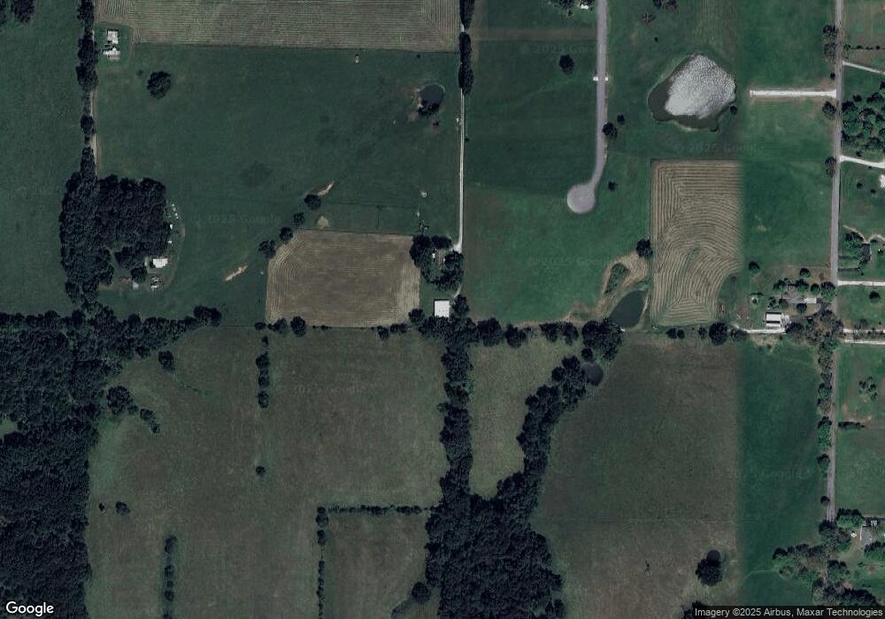
Map
Nearby Homes
- Lot #4 N Ginger Ln
- 178 Applebury Place
- 20 Acres N Carroll Rd
- 20 Acres N Carroll Rd
- 144 Cedar Heights Dr
- 145 S Blazing Star Ln
- 528 N Mary Lynn Ln
- 1651 Emerald Hills Dr
- 304 N Bonda Way
- 1710 Utah Ct
- 305 Meadow St
- 1243 W Verna Ln
- 1001 W Bryce Ln
- 907 Denali Dr
- 509 Willowdale Ct
- 1334 W Mount Vernon St
- 1507 Granite Dr
- 901 W Yellowstone St
- Tract 2 W Hicks Rd
- 000 W Hicks Rd
- 1802 W Union Chapel Rd
- 1683 W Union Chapel Rd
- 831 Maynard Rd
- 1661 W Union Chapel Rd
- 1800 W Union Chapel Rd
- 824 Maynard Rd
- Tbd Maynard
- 1099 N Sanders Valley Rd
- 1699 W Dewberry Rd
- 818 Maynard Rd
- 1860 W Union Chapel Rd
- 700 Maynard Rd
- Lot #3 W Emerson Way
- 1658 W Dewberry Rd
- Lot #1 W Emerson Way
- Lot #7 N Ginger Ln
- 794 N Maynard Rd
- 1636 W Dewberry Rd
- 1642 W Dewberry Rd