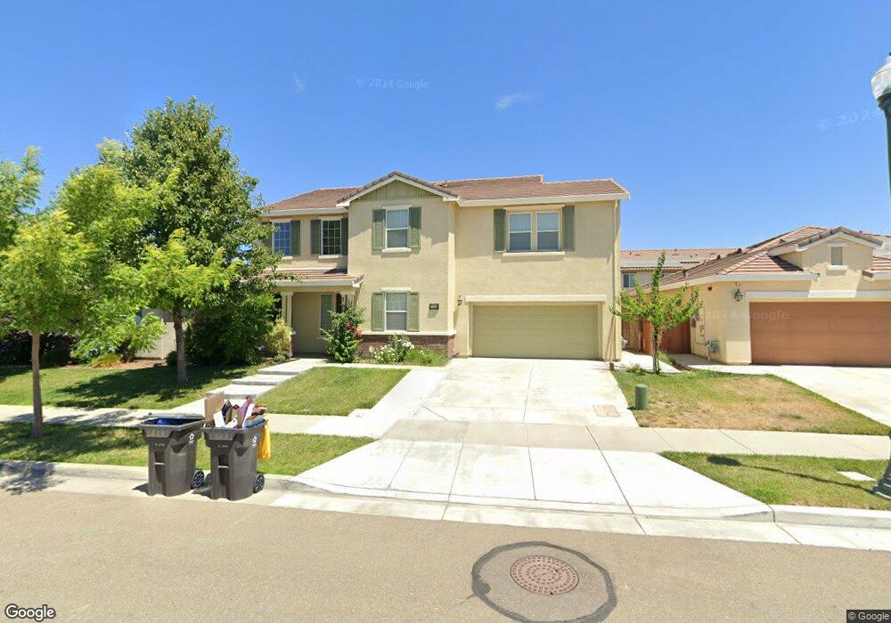
17006 Rail Way Lathrop, CA 95330
Estimated Value: $737,093 - $802,000
5
Beds
3
Baths
3,409
Sq Ft
$227/Sq Ft
Est. Value
About This Home
This home is located at 17006 Rail Way, Lathrop, CA 95330 and is currently estimated at $775,523, approximately $227 per square foot. 17006 Rail Way is a home with nearby schools including Mossdale Elementary School, Lathrop High School, and River Island School of Technology.
Ownership History
Date
Name
Owned For
Owner Type
Purchase Details
Closed on
Feb 12, 2015
Sold by
Woodside 05N Lp
Bought by
Singh Harjinder and Mally Kamaljit K
Current Estimated Value
Home Financials for this Owner
Home Financials are based on the most recent Mortgage that was taken out on this home.
Original Mortgage
$324,000
Interest Rate
3.67%
Mortgage Type
New Conventional
Purchase Details
Closed on
Mar 20, 2013
Sold by
Lathrop 113 Lp
Bought by
Woodside O5n Lp
Purchase Details
Closed on
Feb 18, 2010
Sold by
Fb Holdings Llc
Bought by
Lathrop 113 Lp
Home Financials for this Owner
Home Financials are based on the most recent Mortgage that was taken out on this home.
Original Mortgage
$1,800,000
Interest Rate
4.97%
Mortgage Type
Construction
Purchase Details
Closed on
Oct 1, 2008
Sold by
Lafferty Gdci Lathrop Lp
Bought by
Fb Holdings Llc
Create a Home Valuation Report for This Property
The Home Valuation Report is an in-depth analysis detailing your home's value as well as a comparison with similar homes in the area
Home Values in the Area
Average Home Value in this Area
Purchase History
| Date | Buyer | Sale Price | Title Company |
|---|---|---|---|
| Singh Harjinder | $414,000 | Placer Title Company | |
| Woodside O5n Lp | -- | First American Title Company | |
| Lathrop 113 Lp | -- | First American Title Company | |
| Fb Holdings Llc | $3,755,300 | None Available |
Source: Public Records
Mortgage History
| Date | Status | Borrower | Loan Amount |
|---|---|---|---|
| Previous Owner | Singh Harjinder | $324,000 | |
| Previous Owner | Lathrop 113 Lp | $1,800,000 |
Source: Public Records
Tax History Compared to Growth
Tax History
| Year | Tax Paid | Tax Assessment Tax Assessment Total Assessment is a certain percentage of the fair market value that is determined by local assessors to be the total taxable value of land and additions on the property. | Land | Improvement |
|---|---|---|---|---|
| 2025 | $8,752 | $497,557 | $174,144 | $323,413 |
| 2024 | $8,552 | $487,802 | $170,730 | $317,072 |
| 2023 | $8,346 | $478,238 | $167,383 | $310,855 |
| 2022 | $8,191 | $468,861 | $164,101 | $304,760 |
| 2021 | $8,048 | $459,669 | $160,884 | $298,785 |
| 2020 | $7,800 | $454,957 | $159,235 | $295,722 |
| 2019 | $7,703 | $446,037 | $156,113 | $289,924 |
| 2018 | $7,597 | $437,292 | $153,052 | $284,240 |
| 2017 | $7,491 | $428,718 | $150,051 | $278,667 |
| 2016 | $7,346 | $420,314 | $147,110 | $273,204 |
| 2014 | -- | $77,852 | $77,852 | $0 |
Source: Public Records
Map
Nearby Homes
- 380 Shadowberry Place
- 16796 English Country Trail
- 17350 Mill Stone Way
- 17002 Pecan Hollow Way
- 582 Pasture Ave
- 17351 Pheasant Downs Rd
- 323 Autumn Rain Dr
- 17409 Pheasant Downs Rd
- 375 Colonial Trail
- 577 Brookhurst Blvd
- 17360 Ferndale St
- 17753 Wheat Field St
- 15492 Warbler Place
- 2595 Garden Farms Ave
- 891 Osprey Dr
- 2812 Garden Farms Ave
- 833 Tern Dr
- 17709 Mckee Blvd
- 17806 Mckee Blvd
- 17813 Farm House Rd
- 16998 Rail Way
- 17020 Rail Way
- 16975 Golden Spike Trail
- 16961 Golden Spike Trail
- 16985 Golden Spike Trail
- 16984 Rail Way
- 17034 Rail Way
- 17019 Rail Way
- 16955 Golden Spike Trail
- 17005 Rail Way
- 16997 Golden Spike Trail
- 16995 Rail Way
- 16970 Rail Way
- 16970 Rail Way
- 17031 Rail Way
- 16981 Rail Way
- 749 Green Plaza
- 17066 Rail Way
- 17034 Iron Horse Trail
- 16970 Golden Spike Trail