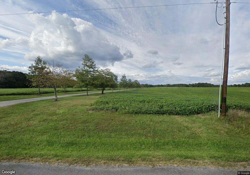
17007 Locust Creek Rd Nashville, IL 62263
Estimated Value: $270,000 - $454,000
4
Beds
4
Baths
4,052
Sq Ft
$94/Sq Ft
Est. Value
About This Home
This home is located at 17007 Locust Creek Rd, Nashville, IL 62263 and is currently estimated at $381,751, approximately $94 per square foot. 17007 Locust Creek Rd is a home located in Washington County with nearby schools including Nashville Grade School and Nashville Community High School.
Ownership History
Date
Name
Owned For
Owner Type
Purchase Details
Closed on
Dec 10, 2024
Sold by
Paszkiewicz Chester and Paszkiewicz Patricia
Bought by
Paszkiewicz Lance and Paszkiewicz Carrie
Current Estimated Value
Purchase Details
Closed on
Mar 17, 2016
Sold by
Paszkiewicz Carrie and Paszkiewicz Lance
Bought by
Paszkiewicz Carrie and Paszkiewicz Lance
Create a Home Valuation Report for This Property
The Home Valuation Report is an in-depth analysis detailing your home's value as well as a comparison with similar homes in the area
Home Values in the Area
Average Home Value in this Area
Purchase History
| Date | Buyer | Sale Price | Title Company |
|---|---|---|---|
| Paszkiewicz Lance | -- | None Listed On Document | |
| Paszkiewicz Carrie | -- | None Available |
Source: Public Records
Tax History Compared to Growth
Tax History
| Year | Tax Paid | Tax Assessment Tax Assessment Total Assessment is a certain percentage of the fair market value that is determined by local assessors to be the total taxable value of land and additions on the property. | Land | Improvement |
|---|---|---|---|---|
| 2024 | $10,705 | $139,653 | $4,322 | $135,331 |
| 2023 | $9,896 | $122,500 | $2,586 | $119,914 |
| 2022 | $10,832 | $133,576 | $2,651 | $130,925 |
| 2021 | $10,667 | $129,022 | $2,496 | $126,526 |
| 2020 | $10,750 | $126,983 | $2,384 | $124,599 |
| 2019 | $10,963 | $127,173 | $2,263 | $124,910 |
| 2018 | $11,028 | $127,103 | $2,193 | $124,910 |
| 2017 | $10,861 | $127,043 | $2,133 | $124,910 |
| 2016 | $10,778 | $127,072 | $2,162 | $124,910 |
| 2015 | $10,778 | $127,001 | $2,091 | $124,910 |
| 2014 | $10,333 | $126,968 | $2,058 | $124,910 |
| 2013 | $10,333 | $126,945 | $2,035 | $124,910 |
| 2012 | $9,495 | $126,611 | $1,701 | $124,910 |
Source: Public Records
Map
Nearby Homes
- 4914 State Route 127
- 12 Hickory St
- 35 Hickory St
- 22 Smith Rd
- 15685 Oakdale Blacktop Rd
- 593 W Hill St
- 745 S Moore St
- Outlet 1 S Prairie St
- 384 E Belleville St
- 464 S Mill St
- 785 W Adams St
- 509 W Saint Louis St
- 977 W Saint Louis St
- Parcel 12 S Indian Grass Rd
- Parcel 3 S Indian Grass Rd
- Parcel 11 S Indian Grass Rd
- 242 W 3rd St
- 8817 Reservoir Rd
- 5599 County Highway 21
- 22746 Nebraska Rd
- 7 Quail Ridge Ct
- 12 Mallard Dr
- 3 Quail Ridge Ct
- 14 Mallard Dr
- 27 Pheasant Ridge Ct
- 28 Pheasant Ridge Ct
- 23 Pheasant Ridge Ct
- 22 Pheasant Ridge Ct
- 29 Pheasant Ridge Ct
- 32 Fox Run Ct
- 31 Fox Run Ct
- 0 New Mexico Rd Unit 17089771
- 0 New Mexico Rd Unit 20072636
- 4303 State Route 127
- 46 Pheasant Ridge Ct
- 4084 State Route 127
- 4695 State Route 127
- 4268 State Route 127
- 4358 State Route 127
- 17555 New Mexico Rd
