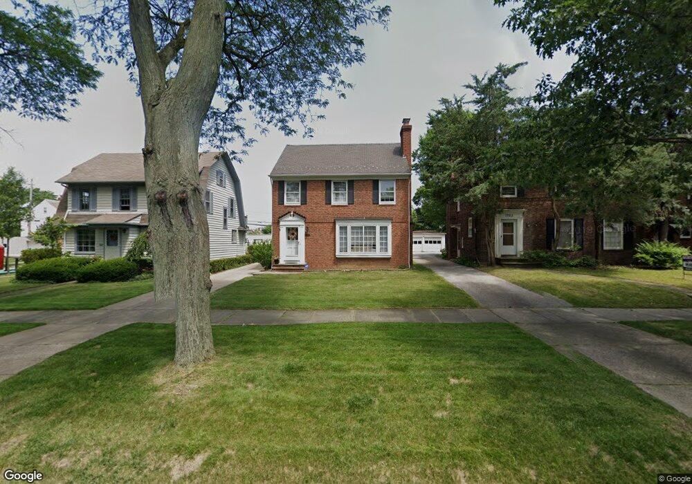
17009 Scottsdale Blvd Cleveland, OH 44120
Estimated Value: $191,000 - $264,000
3
Beds
2
Baths
1,486
Sq Ft
$153/Sq Ft
Est. Value
About This Home
This home is located at 17009 Scottsdale Blvd, Cleveland, OH 44120 and is currently estimated at $227,857, approximately $153 per square foot. 17009 Scottsdale Blvd is a home located in Cuyahoga County with nearby schools including Fernway Elementary School, Woodbury Elementary School, and Shaker Heights Middle School.
Ownership History
Date
Name
Owned For
Owner Type
Purchase Details
Closed on
Dec 22, 2008
Sold by
Mears Richard P and Mears Susan R
Bought by
Mears Richard P and Mears Susan R
Current Estimated Value
Purchase Details
Closed on
Dec 5, 1978
Sold by
Plasterer Eleanor K
Bought by
Mears Richard P
Purchase Details
Closed on
Nov 14, 1977
Sold by
Plasterer Eleanor K
Bought by
Plasterer Eleanor K
Purchase Details
Closed on
Mar 14, 1977
Sold by
Plasterer Donald W
Bought by
Plasterer Eleanor K
Purchase Details
Closed on
Jan 1, 1975
Bought by
Plasterer Donald W
Create a Home Valuation Report for This Property
The Home Valuation Report is an in-depth analysis detailing your home's value as well as a comparison with similar homes in the area
Home Values in the Area
Average Home Value in this Area
Purchase History
| Date | Buyer | Sale Price | Title Company |
|---|---|---|---|
| Mears Richard P | -- | Attorney | |
| Mears Richard P | $57,500 | -- | |
| Plasterer Eleanor K | -- | -- | |
| Plasterer Eleanor K | -- | -- | |
| Plasterer Donald W | -- | -- |
Source: Public Records
Tax History Compared to Growth
Tax History
| Year | Tax Paid | Tax Assessment Tax Assessment Total Assessment is a certain percentage of the fair market value that is determined by local assessors to be the total taxable value of land and additions on the property. | Land | Improvement |
|---|---|---|---|---|
| 2024 | $5,673 | $72,975 | $15,260 | $57,715 |
| 2023 | $4,964 | $53,030 | $11,520 | $41,510 |
| 2022 | $4,881 | $53,030 | $11,520 | $41,510 |
| 2021 | $4,865 | $53,030 | $11,520 | $41,510 |
| 2020 | $4,606 | $48,200 | $10,470 | $37,730 |
| 2019 | $4,540 | $137,700 | $29,900 | $107,800 |
| 2018 | $4,566 | $48,200 | $10,470 | $37,730 |
| 2017 | $4,181 | $43,050 | $9,030 | $34,020 |
| 2016 | $4,015 | $42,350 | $9,030 | $33,320 |
| 2015 | $3,978 | $42,350 | $9,030 | $33,320 |
| 2014 | $3,978 | $41,520 | $8,860 | $32,660 |
Source: Public Records
Map
Nearby Homes
- 16805 Scottsdale Blvd
- 3716 Rolliston Rd
- 3702 Daleford Rd
- 3662 Avalon Rd
- 17008 Throckley Ave
- 17104 Throckley Ave
- 17211 Walden Ave
- 3666 Lindholm Rd
- 17426 Invermere Ave
- 17416 Throckley Ave
- 3624 Rolliston Rd
- 3658 Normandy Rd
- 17511 Throckley Ave
- 17422 Lomond Blvd
- 17425 Walden Ave
- 16321 Invermere Ave
- 17016 Talford Ave
- 17120 Talford Ave
- 17415 Talford Ave
- 16317 Throckley Ave
- 17013 Scottsdale Blvd
- 17005 Scottsdale Blvd
- 17017 Scottsdale Blvd
- 3727 Strathavon Rd
- 17021 Scottsdale Blvd
- 3723 Strathavon Rd
- 16825 Scottsdale Blvd
- 3728 Riedham Rd
- 3719 Strathavon Rd
- 17025 Scottsdale Blvd
- 3724 Riedham Rd
- 16821 Scottsdale Blvd
- 3728 Strathavon Rd
- 3715 Strathavon Rd
- 3720 Riedham Rd
- 17012 Scottsdale Blvd
- 17008 Scottsdale Blvd
- 17016 Scottsdale Blvd
- 3724 Strathavon Rd
- 17004 Scottsdale Blvd