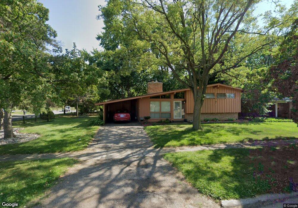
1701 Carmanbrook Pkwy Flint, MI 48507
South Side NeighborhoodEstimated Value: $109,003 - $115,000
3
Beds
2
Baths
1,514
Sq Ft
$74/Sq Ft
Est. Value
About This Home
This home is located at 1701 Carmanbrook Pkwy, Flint, MI 48507 and is currently estimated at $111,751, approximately $73 per square foot. 1701 Carmanbrook Pkwy is a home located in Genesee County with nearby schools including Neithercut Elementary School, Flint Southwestern Classical Academy, and International Academy of Flint (K-12).
Ownership History
Date
Name
Owned For
Owner Type
Purchase Details
Closed on
Oct 7, 2015
Sold by
County Of Genesee
Bought by
Edwards Terrence M
Current Estimated Value
Purchase Details
Closed on
Jan 24, 2014
Sold by
Edwards Terrence M
Bought by
Edwards Tonya L
Purchase Details
Closed on
Oct 17, 2003
Sold by
Whitehead Grant and Whitehead Deborah D
Bought by
Stinson David J and Stinson Anita
Home Financials for this Owner
Home Financials are based on the most recent Mortgage that was taken out on this home.
Original Mortgage
$88,000
Interest Rate
8.84%
Mortgage Type
Purchase Money Mortgage
Purchase Details
Closed on
Oct 11, 2000
Sold by
Brown Thomas M and Brown Danielle S
Bought by
Whitehead Grant and Whitehead Deborah D
Create a Home Valuation Report for This Property
The Home Valuation Report is an in-depth analysis detailing your home's value as well as a comparison with similar homes in the area
Home Values in the Area
Average Home Value in this Area
Purchase History
| Date | Buyer | Sale Price | Title Company |
|---|---|---|---|
| Edwards Terrence M | $12,107 | Attorney | |
| Edwards Tonya L | -- | None Available | |
| Stinson David J | $110,100 | Lawyers Title | |
| Whitehead Grant | $10,000 | -- |
Source: Public Records
Mortgage History
| Date | Status | Borrower | Loan Amount |
|---|---|---|---|
| Previous Owner | Stinson David J | $88,000 | |
| Closed | Stinson David J | $22,000 |
Source: Public Records
Tax History Compared to Growth
Tax History
| Year | Tax Paid | Tax Assessment Tax Assessment Total Assessment is a certain percentage of the fair market value that is determined by local assessors to be the total taxable value of land and additions on the property. | Land | Improvement |
|---|---|---|---|---|
| 2025 | $1,962 | $48,800 | $0 | $0 |
| 2024 | $1,799 | $44,300 | $0 | $0 |
| 2023 | $1,744 | $35,100 | $0 | $0 |
| 2022 | $0 | $29,300 | $0 | $0 |
| 2021 | $1,777 | $24,900 | $0 | $0 |
| 2020 | $1,576 | $22,000 | $0 | $0 |
| 2019 | $1,527 | $19,600 | $0 | $0 |
| 2018 | $1,610 | $19,900 | $0 | $0 |
| 2017 | $1,437 | $0 | $0 | $0 |
| 2016 | $1,426 | $0 | $0 | $0 |
| 2015 | -- | $0 | $0 | $0 |
| 2014 | -- | $0 | $0 | $0 |
| 2012 | -- | $20,000 | $0 | $0 |
Source: Public Records
Map
Nearby Homes
- 1741 Carmanbrook Pkwy
- 1814 Carmanbrook Pkwy
- 1523 Waldman Ave
- 1727 Briarwood Dr
- 1902 Crestbrook Ln
- 1410 Berrywood Ln
- 2107 Stoney Brook Ct
- 4101 Greenbrook Ln
- 1418 Blueberry Ln
- 1225 Waldman Ave
- 1225 Vermilya Ave
- 1209 Lincoln Ave
- 1826 Greenbrook Ln
- 1228 Leland St
- 1818 Rockcreek Ln
- 1130 W Atherton Rd
- 1212 Crawford St
- 1310 Huron St
- 1905 Greenbriar Ln
- 1902 Rockcreek Ln
- 1709 Carmanbrook Pkwy
- 3624 Briarwood Dr
- 1710 Carmanbrook Pkwy
- 3707 Briarwood Dr
- 3701 Briarwood Dr
- 3713 Briarwood Dr
- 1713 Carmanbrook Pkwy
- 1740 Carmanbrook Pkwy
- 3625 Briarwood Dr
- 3614 Briarwood Dr
- 3619 Briarwood Dr
- 1730 Carmanbrook Pkwy
- 1717 Carmanbrook Pkwy
- 3613 Briarwood Dr
- 1736 Carmanbrook Pkwy
- 1736 Camanbrook Pkwy
- 3608 Briarwood Dr
- 1723 Carmanbrook Pkwy
- 3607 Briarwood Dr
- 1637 Waldman Ave