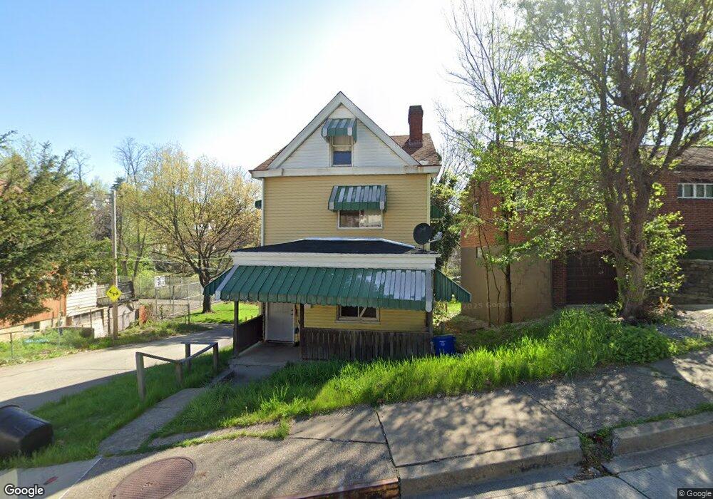
1701 Leolyn St Pittsburgh, PA 15210
Carrick NeighborhoodEstimated Value: $73,088 - $143,000
3
Beds
1
Bath
1,604
Sq Ft
$75/Sq Ft
Est. Value
About This Home
This home is located at 1701 Leolyn St, Pittsburgh, PA 15210 and is currently estimated at $120,272, approximately $74 per square foot. 1701 Leolyn St is a home located in Allegheny County with nearby schools including Pittsburgh Roosevelt K. - 5, Pittsburgh South Brook, and Pittsburgh Carrick High School.
Ownership History
Date
Name
Owned For
Owner Type
Purchase Details
Closed on
Sep 8, 2011
Sold by
City Of Pittsburgh
Bought by
Robinson Victoria
Current Estimated Value
Purchase Details
Closed on
Sep 6, 2002
Sold by
Wells Fargo Bank Na
Bought by
Ingomar Lp
Purchase Details
Closed on
May 3, 2002
Sold by
Carrington Ruth A and Goslak Ruth A
Bought by
Wells Fargo Bank Minnesota Na and Salomon Brothers Mtg Securities Vii Inc
Purchase Details
Closed on
Jul 22, 1996
Sold by
Goslak Ruth A and Carrington Ruth A
Bought by
Carrington Ruth A
Create a Home Valuation Report for This Property
The Home Valuation Report is an in-depth analysis detailing your home's value as well as a comparison with similar homes in the area
Home Values in the Area
Average Home Value in this Area
Purchase History
| Date | Buyer | Sale Price | Title Company |
|---|---|---|---|
| Robinson Victoria | $6,000 | -- | |
| Ingomar Lp | -- | -- | |
| Wells Fargo Bank Minnesota Na | $2,337 | -- | |
| Carrington Ruth A | -- | -- |
Source: Public Records
Tax History Compared to Growth
Tax History
| Year | Tax Paid | Tax Assessment Tax Assessment Total Assessment is a certain percentage of the fair market value that is determined by local assessors to be the total taxable value of land and additions on the property. | Land | Improvement |
|---|---|---|---|---|
| 2025 | $862 | $37,400 | $13,600 | $23,800 |
| 2024 | $862 | $37,400 | $13,600 | $23,800 |
| 2023 | $862 | $37,400 | $13,600 | $23,800 |
| 2022 | $850 | $37,400 | $13,600 | $23,800 |
| 2021 | $860 | $37,400 | $13,600 | $23,800 |
| 2020 | $846 | $37,400 | $13,600 | $23,800 |
| 2019 | $846 | $37,400 | $13,600 | $23,800 |
| 2018 | $679 | $37,400 | $13,600 | $23,800 |
| 2017 | $846 | $37,400 | $13,600 | $23,800 |
| 2016 | $177 | $37,400 | $13,600 | $23,800 |
| 2015 | $177 | $37,400 | $13,600 | $23,800 |
| 2014 | $828 | $37,400 | $13,600 | $23,800 |
Source: Public Records
Map
Nearby Homes
- 206 Alries St
- 228 Alries St
- 12 E Meyers St
- 254 Alries St
- 244-246 E Meyers St
- 134 Poplargrove St
- 1607 Fredell St
- 1611 Westmont Ave
- 1401 Amanda St
- 203 Birmingham Ave
- 119 Birmingham Ave Unit 117
- 119 Birmingham Ave
- 2000 Brownsville Rd
- 1641 Mount Joseph St
- 108 Linnview Ave
- 230 Linnview Ave
- 2020 Brownsville Rd
- 201 Linnview Ave
- 147 Laughlin Ave
- 145 E Woodford Ave
- 1701 Leolyn St
- 1635 Leolyn St
- 1707 Leolyn St
- 215 Sprucewood St
- 1702 Leolyn St
- 1706 Leolyn St
- 1634 Leolyn St
- 1710 Leolyn St
- 1630 Leolyn St
- 1623 Leolyn St
- 1716 Leolyn St
- 1628 Leolyn St
- 1621 Leolyn St
- 1626 Leolyn St
- 200 Alries St
- 1624 Leolyn St
- 223 Sprucewood St
- 1718 Leolyn St
- 212 Sprucewood St
- 1720 Leolyn St